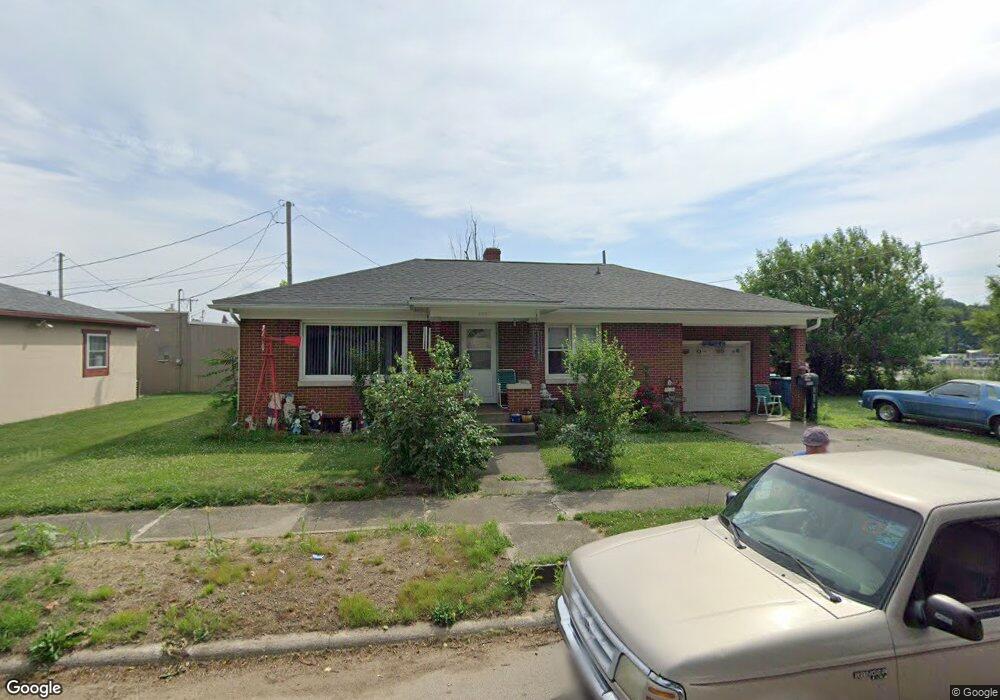
203 New York St La Porte, IN 46350
Estimated Value: $143,000 - $168,000
2
Beds
2
Baths
962
Sq Ft
$161/Sq Ft
Est. Value
About This Home
This home is located at 203 New York St, La Porte, IN 46350 and is currently estimated at $154,953, approximately $161 per square foot. 203 New York St is a home located in LaPorte County with nearby schools including Carver Elementary School, Hailmann Elementary School, and La Porte High School.
Ownership History
Date
Name
Owned For
Owner Type
Purchase Details
Closed on
Apr 20, 2017
Sold by
Stewart Beverly
Bought by
Stewart Harold and Fiscus Melissa
Current Estimated Value
Purchase Details
Closed on
Jul 10, 2010
Sold by
Nowell Donald G and Nowell Bobbi Sue
Bought by
Stewart Beverly A
Home Financials for this Owner
Home Financials are based on the most recent Mortgage that was taken out on this home.
Original Mortgage
$74,003
Interest Rate
4.74%
Mortgage Type
FHA
Purchase Details
Closed on
Nov 7, 2007
Sold by
Nowell Bobbi Sue and Wagoner Tammy Lee
Bought by
Nowell Donald G and Nowell Bobbi Sue
Create a Home Valuation Report for This Property
The Home Valuation Report is an in-depth analysis detailing your home's value as well as a comparison with similar homes in the area
Home Values in the Area
Average Home Value in this Area
Purchase History
| Date | Buyer | Sale Price | Title Company |
|---|---|---|---|
| Stewart Harold | -- | None Available | |
| Stewart Beverly A | -- | Metropolitan Title | |
| Nowell Donald G | -- | None Available |
Source: Public Records
Mortgage History
| Date | Status | Borrower | Loan Amount |
|---|---|---|---|
| Previous Owner | Stewart Beverly A | $74,003 |
Source: Public Records
Tax History Compared to Growth
Tax History
| Year | Tax Paid | Tax Assessment Tax Assessment Total Assessment is a certain percentage of the fair market value that is determined by local assessors to be the total taxable value of land and additions on the property. | Land | Improvement |
|---|---|---|---|---|
| 2024 | $467 | $89,800 | $18,300 | $71,500 |
| 2022 | $462 | $93,200 | $15,300 | $77,900 |
| 2021 | $462 | $90,300 | $15,300 | $75,000 |
| 2020 | $539 | $90,300 | $15,300 | $75,000 |
| 2019 | $597 | $92,300 | $16,400 | $75,900 |
| 2018 | $360 | $81,900 | $13,100 | $68,800 |
| 2017 | $317 | $80,600 | $13,100 | $67,500 |
| 2016 | $829 | $84,200 | $11,400 | $72,800 |
| 2014 | $641 | $77,600 | $8,100 | $69,500 |
Source: Public Records
Map
Nearby Homes
- 205 Lawrence St
- 414 Allen St
- 717 E Lincolnway
- 503 Grove St
- 0 Brighton St Unit NRA542345
- 0 E Jefferson Ave
- 810 Virginia Ave
- 208 Norton St
- 330 Virginia Ave
- 506 Pulaski St
- 107 Lincolnway
- 807 Division St
- 222 Roosevelt St
- 916 Ohio St
- 202 Jefferson Ave
- 907 Division St
- 910 Scott St
- 417 Roosevelt St
- 161 W Mcclung Rd
- 206 Ohio St
- 207 New York St
- 702 Ridgeway St
- 704 Ridgeway St
- 643 North St Unit 650
- 612 Ridgeway St
- 417 North St
- 725 North St
- 606 Ridgeway St
- 604 Ridgeway St
- 525 North St
- 602 Ridgeway St
- 408 North St
- 502 North St
- 600 Ridgeway St
- 450 North St
- 621 Ridgeway St
- 404 North St
- 108 Lawrence St
- 314 North St
- 110 Lawrence St