203 Patrick Rd Ephrata, WA 98823
Estimated Value: $364,690 - $433,000
3
Beds
2
Baths
2,374
Sq Ft
$172/Sq Ft
Est. Value
About This Home
This home is located at 203 Patrick Rd, Ephrata, WA 98823 and is currently estimated at $407,673, approximately $171 per square foot. 203 Patrick Rd is a home located in Grant County with nearby schools including Ephrata High School, New Life Christian School, and St. Rose of Lima Catholic School.
Ownership History
Date
Name
Owned For
Owner Type
Purchase Details
Closed on
Jan 21, 2012
Sold by
Chen Shih Chen
Bought by
Yawney Matt E and Yawney Rebecca A
Current Estimated Value
Home Financials for this Owner
Home Financials are based on the most recent Mortgage that was taken out on this home.
Original Mortgage
$188,000
Outstanding Balance
$127,799
Interest Rate
3.88%
Mortgage Type
New Conventional
Estimated Equity
$279,874
Create a Home Valuation Report for This Property
The Home Valuation Report is an in-depth analysis detailing your home's value as well as a comparison with similar homes in the area
Purchase History
| Date | Buyer | Sale Price | Title Company |
|---|---|---|---|
| Yawney Matt E | $235,000 | Grant County Title |
Source: Public Records
Mortgage History
| Date | Status | Borrower | Loan Amount |
|---|---|---|---|
| Open | Yawney Matt E | $188,000 |
Source: Public Records
Tax History
| Year | Tax Paid | Tax Assessment Tax Assessment Total Assessment is a certain percentage of the fair market value that is determined by local assessors to be the total taxable value of land and additions on the property. | Land | Improvement |
|---|---|---|---|---|
| 2025 | $2,961 | $282,917 | -- | -- |
| 2024 | $2,723 | $241,481 | $34,300 | $207,181 |
| 2023 | $2,450 | $210,380 | $34,300 | $176,080 |
| 2022 | $2,620 | $210,380 | $34,300 | $176,080 |
| 2021 | $2,468 | $210,380 | $34,300 | $176,080 |
| 2020 | $2,610 | $188,785 | $34,300 | $154,485 |
| 2019 | $1,912 | $180,205 | $34,300 | $145,905 |
| 2018 | $2,395 | $165,440 | $22,000 | $143,440 |
| 2017 | $2,508 | $185,000 | $22,000 | $163,000 |
| 2016 | $2,363 | $161,495 | $22,000 | $139,495 |
| 2013 | -- | $141,290 | $22,000 | $119,290 |
Source: Public Records
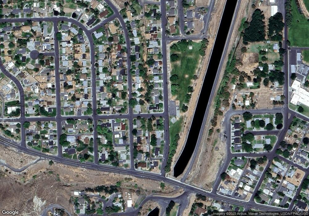
Map
Nearby Homes
- 0 Unit NWM2478101
- 321 Maringo Rd
- 324 Mocliff Rd
- 335 Canal Blvd
- 386 Mocliff Rd
- 247 D St NW
- 405 Strand Rd
- 435 Maringo Rd
- 204 E St SW
- 401 Statter Rd
- 40505 Basin St SW Unit 1-3
- 471 Statter Rd
- 0 Alder St SW
- 417 C St SW
- 505 D St SW
- 530 Jadehurst Dr
- 532 Jadehurst Dr
- 410 3rd Ave NE
- 810 D St SW
- 735 Basin St NW
- 0 Roosevelt Blvd
- 204 Maringo Rd
- 215 Patrick Rd
- 5 Strand Rd
- 0 Strand Rd
- 0 Strand Rd Unit NWM31962449
- 0 Strand Rd Unit NWM31962615
- 0 Strand Rd Unit NWM32014208
- 0 Strand Rd Unit NWM31960214
- 0 Strand Rd Unit NWM31960216
- 0 Strand Rd Unit NWM31960215
- 0 Strand Rd Unit NWM31961681
- 0 Strand Rd Unit NWM32012778
- 0 Strand Rd Unit NWM31961733
- 0 Strand Rd Unit NWM31961987
- 0 Strand Rd Unit NWM31960225
- 0 Strand Rd Unit NWM31960220
- 0 Strand Rd Unit NWM31960219
- 0 Strand Rd Unit NWM31960217
- 0 Strand Rd Unit NWM31960213
Your Personal Tour Guide
Ask me questions while you tour the home.