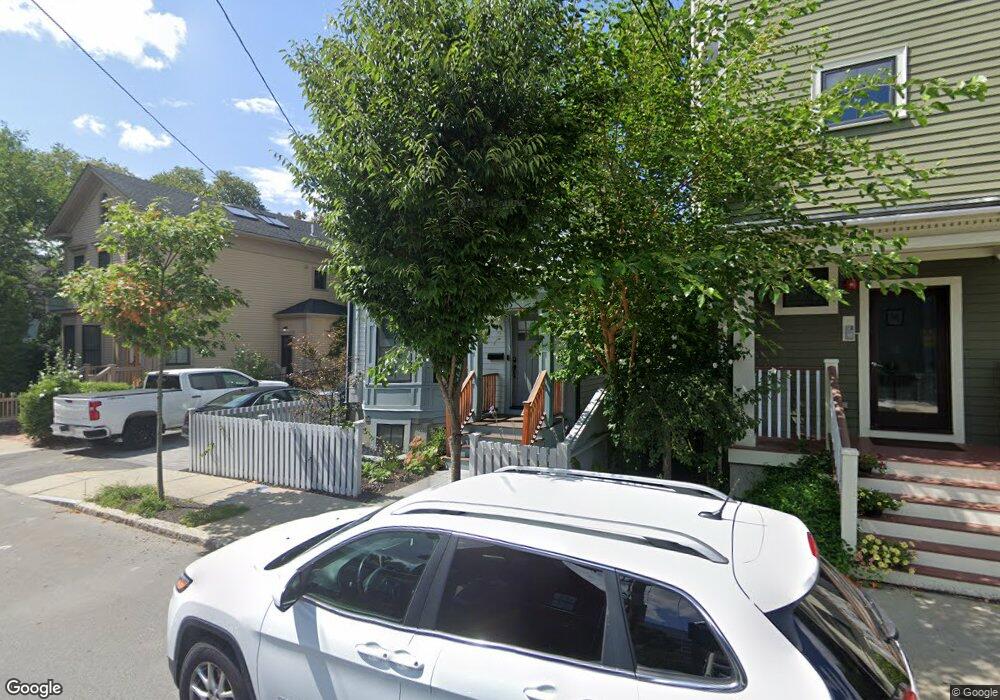
203 Pearl St Cambridge, MA 02139
Cambridgeport NeighborhoodEstimated Value: $2,294,359
4
Beds
4
Baths
2,100
Sq Ft
$1,093/Sq Ft
Est. Value
About This Home
This home is located at 203 Pearl St, Cambridge, MA 02139 and is currently estimated at $2,294,359, approximately $1,092 per square foot. 203 Pearl St is a home located in Middlesex County with nearby schools including Prospect Hill Academy Charter School.
Ownership History
Date
Name
Owned For
Owner Type
Purchase Details
Closed on
Aug 24, 2023
Sold by
203 Pearl Development Llc
Bought by
Niu Xiuhua
Current Estimated Value
Purchase Details
Closed on
Nov 10, 2021
Sold by
Bold Ft and Bold
Bought by
203 Pearl Development Llc
Home Financials for this Owner
Home Financials are based on the most recent Mortgage that was taken out on this home.
Original Mortgage
$2,550,000
Interest Rate
3.01%
Mortgage Type
Commercial
Purchase Details
Closed on
May 19, 2014
Sold by
Bold Michael W and Bold Joyce F
Bought by
Bold Ft and Bold
Create a Home Valuation Report for This Property
The Home Valuation Report is an in-depth analysis detailing your home's value as well as a comparison with similar homes in the area
Home Values in the Area
Average Home Value in this Area
Purchase History
| Date | Buyer | Sale Price | Title Company |
|---|---|---|---|
| Niu Xiuhua | $2,170,000 | None Available | |
| Niu Xiuhua | $2,170,000 | None Available | |
| 203 Pearl Development Llc | $1,800,000 | None Available | |
| 203 Pearl Development Llc | $1,800,000 | None Available | |
| Bold Ft | -- | -- | |
| Bold Ft | -- | -- |
Source: Public Records
Mortgage History
| Date | Status | Borrower | Loan Amount |
|---|---|---|---|
| Previous Owner | 203 Pearl Development Llc | $2,550,000 | |
| Previous Owner | Bold Ft | $120,000 | |
| Previous Owner | Bold Ft | $78,000 |
Source: Public Records
Tax History Compared to Growth
Tax History
| Year | Tax Paid | Tax Assessment Tax Assessment Total Assessment is a certain percentage of the fair market value that is determined by local assessors to be the total taxable value of land and additions on the property. | Land | Improvement |
|---|---|---|---|---|
| 2025 | $10,605 | $0 | $0 | $0 |
| 2024 | $10,605 | $1,791,400 | $1,644,600 | $146,800 |
| 2023 | $8,944 | $1,526,200 | $1,169,000 | $357,200 |
| 2022 | $8,078 | $1,364,500 | $1,105,700 | $258,800 |
| 2021 | $7,637 | $1,305,500 | $1,045,000 | $260,500 |
| 2020 | $7,178 | $1,248,400 | $993,600 | $254,800 |
| 2019 | $6,543 | $1,101,500 | $866,600 | $234,900 |
| 2018 | $6,166 | $980,300 | $762,000 | $218,300 |
| 2017 | $6,315 | $973,100 | $747,100 | $226,000 |
| 2016 | $5,600 | $801,100 | $590,200 | $210,900 |
| 2015 | $5,502 | $703,600 | $515,500 | $188,100 |
| 2014 | $5,520 | $658,700 | $489,300 | $169,400 |
Source: Public Records
Map
Nearby Homes
- 174 Hamilton St
- 161 Hamilton St
- 214 Allston St
- 131 Erie St Unit 3
- 131 Erie St
- 125 Brookline St Unit 4
- 6-8 Watson St Unit 8
- 8 Watson St Unit 8
- 260 Sidney St Unit 3R
- 1 Jay St
- 127 Auburn St
- 129 Auburn St
- 300 Franklin St Unit 5
- 300 Franklin St Unit 1
- 300 Franklin St Unit 2
- 53 Jay St Unit 2
- 2 Hingham St
- 12 Inman St Unit 55
- 863 Massachusetts Ave Unit 25
- 149A Bishop Allen Unit A
- 203 Pearl St Unit 205
- 203 Pearl St Unit 1
- 205 Pearl St
- 205 Pearl St
- 205 Pearl St Unit 205
- 201 Pearl St
- 201 Pearl St Unit 3
- 201 Pearl St Unit 2
- 201 Pearl St Unit 1
- 209 Pearl St
- 171 Hamilton St Unit 171
- 171 Hamilton St
- 183 Hamilton St Unit 1
- 185 Hamilton St Unit 187
- 185 Hamilton St Unit 187
- 185 Hamilton St Unit 187
- 196 Erie St Unit 3
- 196 Erie St Unit 2
- 196 Erie St Unit 1
- 196 Erie St Unit 1,196