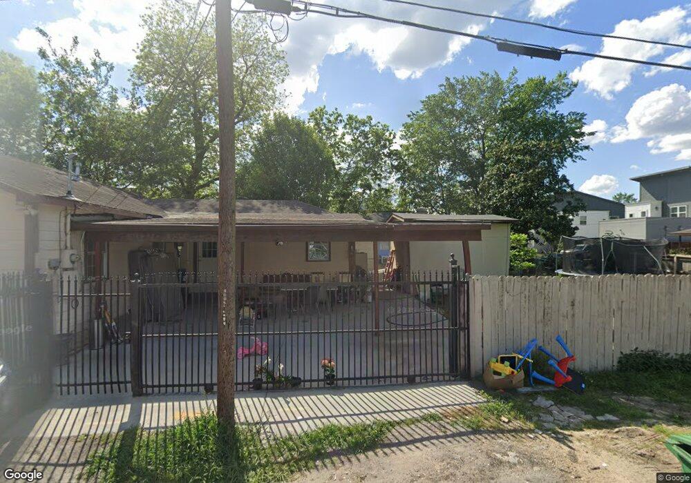
203 Pheasant St Houston, TX 77018
Independence Heights NeighborhoodEstimated Value: $231,000 - $300,000
3
Beds
2
Baths
1,255
Sq Ft
$212/Sq Ft
Est. Value
About This Home
This home is located at 203 Pheasant St, Houston, TX 77018 and is currently estimated at $266,209, approximately $212 per square foot. 203 Pheasant St is a home located in Harris County with nearby schools including Kennedy Elementary School, Williams Middle, and Booker T Washington Sr High.
Ownership History
Date
Name
Owned For
Owner Type
Purchase Details
Closed on
Oct 3, 2023
Sold by
Salgado Baltazar Miranda
Bought by
Salgado Baltazar Salgado and Uriostegui Magaly Ariza
Current Estimated Value
Purchase Details
Closed on
Sep 16, 2013
Sold by
Vazquez Antonio and Vazquez Teresa
Bought by
Delgado Eric and Delgado Yadira
Purchase Details
Closed on
Aug 26, 2013
Sold by
Cordero Cesar
Bought by
Salgado Baltazar M and Salgado Baltazar
Create a Home Valuation Report for This Property
The Home Valuation Report is an in-depth analysis detailing your home's value as well as a comparison with similar homes in the area
Home Values in the Area
Average Home Value in this Area
Purchase History
| Date | Buyer | Sale Price | Title Company |
|---|---|---|---|
| Salgado Baltazar Salgado | -- | None Listed On Document | |
| Delgado Eric | -- | Infinity Title Co | |
| Salgado Baltazar M | -- | Infinity Title Co |
Source: Public Records
Tax History Compared to Growth
Tax History
| Year | Tax Paid | Tax Assessment Tax Assessment Total Assessment is a certain percentage of the fair market value that is determined by local assessors to be the total taxable value of land and additions on the property. | Land | Improvement |
|---|---|---|---|---|
| 2025 | $4,852 | $221,026 | $133,056 | $87,970 |
| 2024 | $4,852 | $231,893 | $133,056 | $98,837 |
| 2023 | $3,991 | $198,081 | $118,272 | $79,809 |
| 2022 | $4,149 | $188,412 | $118,272 | $70,140 |
| 2021 | $3,721 | $159,656 | $93,632 | $66,024 |
| 2020 | $3,417 | $141,091 | $88,704 | $52,387 |
| 2019 | $2,296 | $90,728 | $44,352 | $46,376 |
| 2018 | $1,936 | $76,509 | $44,352 | $32,157 |
| 2017 | $1,662 | $65,717 | $34,496 | $31,221 |
| 2016 | $1,662 | $65,717 | $34,496 | $31,221 |
| 2015 | $1,439 | $68,349 | $24,640 | $43,709 |
| 2014 | $1,439 | $55,977 | $17,248 | $38,729 |
Source: Public Records
Map
Nearby Homes
- 223 Cockerel St
- 3914 Tulane St
- 219 Pheasant St Unit B
- 3939 Tulane St
- 3911 Tulane St
- 212 Pheasant St
- 4010 Rutland St
- 1714 Plan B at Tulane Crossing
- 1752 Plan A at Tulane Crossing
- 3907 Tulane St
- 4022 Rutland St
- 406 Oriole St
- 3909 Yale St
- 3903 Yale Heights Dr
- 4115 Yale St
- 3908 Zina Way
- 4123 Yale St
- 3902 Zina Way
- 204 Blueberry St
- 3909 Zina Way
- 207 Pheasant St
- 4012 Rutland St
- 213 Pheasant St
- 215 Cockerel St
- 4004 Rutland St
- 217 Cockerel St
- 217 Cockerel St Unit C
- 217 Cockerel St Unit A
- 4008 Rutland St
- 4006 Rutland St
- 219 Cockerel St
- 4014 Rutland St
- 204 Pheasant St
- 208 Pheasant St
- 211 Cockerel St
- 4016 Rutland St
- 221 Cockerel St
- 221 Cockerel St Unit A
- 221 Cockerel St Unit B
- 209 Cockerel St