203 Private Road 1653 Unit 17 South Point, OH 45680
Estimated Value: $109,000 - $202,000
2
Beds
3
Baths
1,236
Sq Ft
$123/Sq Ft
Est. Value
About This Home
This home is located at 203 Private Road 1653 Unit 17, South Point, OH 45680 and is currently estimated at $151,971, approximately $122 per square foot. 203 Private Road 1653 Unit 17 is a home located in Lawrence County with nearby schools including Dawson-Bryant Elementary School, Dawson-Bryant Middle School, and Dawson-Bryant High School.
Ownership History
Date
Name
Owned For
Owner Type
Purchase Details
Closed on
Dec 28, 2017
Sold by
Gibson Carl R and Gibson Patricia
Bought by
Fortner Shawn
Current Estimated Value
Purchase Details
Closed on
May 18, 2017
Sold by
Wells Fargo Bank Na
Bought by
Gibson Carl R
Purchase Details
Closed on
Aug 1, 2016
Sold by
Graham Martha L and Brown Tania
Bought by
Wells Fargo Bank N A
Purchase Details
Closed on
Oct 29, 2001
Sold by
Graham Martha L
Bought by
Graham Martha L and Graham Tania
Purchase Details
Closed on
Dec 30, 1993
Sold by
Wilson Timothy and Wilson Mellody
Bought by
Graham Martha L
Purchase Details
Closed on
Jun 21, 1990
Sold by
Napier Robert and Napier Raynell
Bought by
Wilson Timothy and Wilson Mellody
Create a Home Valuation Report for This Property
The Home Valuation Report is an in-depth analysis detailing your home's value as well as a comparison with similar homes in the area
Home Values in the Area
Average Home Value in this Area
Purchase History
| Date | Buyer | Sale Price | Title Company |
|---|---|---|---|
| Fortner Shawn | $20,500 | None Available | |
| Gibson Carl R | $20,000 | None Available | |
| Wells Fargo Bank N A | $37,534 | None Available | |
| Graham Martha L | -- | -- | |
| Graham Martha L | $58,000 | -- | |
| Wilson Timothy | $43,500 | -- |
Source: Public Records
Tax History Compared to Growth
Tax History
| Year | Tax Paid | Tax Assessment Tax Assessment Total Assessment is a certain percentage of the fair market value that is determined by local assessors to be the total taxable value of land and additions on the property. | Land | Improvement |
|---|---|---|---|---|
| 2024 | -- | $41,590 | $3,840 | $37,750 |
| 2023 | $1,209 | $41,590 | $3,840 | $37,750 |
| 2022 | $1,207 | $41,590 | $3,840 | $37,750 |
| 2021 | $983 | $33,390 | $3,460 | $29,930 |
| 2020 | $999 | $33,390 | $3,460 | $29,930 |
| 2019 | $995 | $33,390 | $3,460 | $29,930 |
| 2018 | $902 | $29,850 | $3,390 | $26,460 |
| 2017 | $900 | $29,850 | $3,390 | $26,460 |
| 2016 | $833 | $29,850 | $3,390 | $26,460 |
| 2015 | $828 | $28,500 | $3,300 | $25,200 |
| 2014 | $817 | $28,500 | $3,300 | $25,200 |
| 2013 | $816 | $28,500 | $3,300 | $25,200 |
Source: Public Records
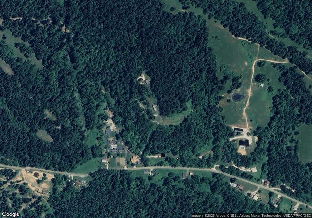
Map
Nearby Homes
- 9040 Ohio 243
- 66 County Road 30
- 3493 County Road 31
- 6881 State Route 243
- 3171 County Road 31
- 66 Township Road 1523
- 25 Township Road 1524
- 1122 Township Road 266
- 1122 Township Road 266
- 4404 County Road 15
- 3569 County Road 6
- 71 Private Dr
- 6757 County Road 15
- 6897 County Road 15
- 00 Township Road 219 N
- 7428 County Road 15
- 1334 McKinney Creek-Hesson Hollow Rd N
- 859 County Road 53
- 1334 Township Road 214th N
- 885 County Road 53
- 22 Private Road 1653 Unit 17
- 195 Private Road 1478 Unit 250
- 1730 Township Road 250
- 9526 Ohio 243
- 9164 State Route 243
- 8829 State Route 243
- 9287 State Route 243
- 9301 State Route 243
- 9247 State Route 243
- 9466 State Route 243
- 9504 Ohio 243
- 9504 State Route 243
- 9088 State Route 243
- 9526 State Route 243
- 9097 State Route 243
- 2319 Township Road 250
- 9317 State Route 243
- 9772 State Route 243
- 9712 State Route 243
- 8969 State Route 243