203 River Rd Arundel, ME 04046
Estimated Value: $651,000 - $724,000
2
Beds
3
Baths
2,400
Sq Ft
$289/Sq Ft
Est. Value
About This Home
This home is located at 203 River Rd, Arundel, ME 04046 and is currently estimated at $694,170, approximately $289 per square foot. 203 River Rd is a home located in York County with nearby schools including Kennebunk High School, School Around Us, and The New School.
Ownership History
Date
Name
Owned For
Owner Type
Purchase Details
Closed on
Aug 14, 2008
Sold by
Oneil Robert and Oneil Marcia
Bought by
Harlan Priscilla A
Current Estimated Value
Home Financials for this Owner
Home Financials are based on the most recent Mortgage that was taken out on this home.
Original Mortgage
$381,200
Outstanding Balance
$251,050
Interest Rate
6.4%
Mortgage Type
Unknown
Estimated Equity
$443,120
Create a Home Valuation Report for This Property
The Home Valuation Report is an in-depth analysis detailing your home's value as well as a comparison with similar homes in the area
Home Values in the Area
Average Home Value in this Area
Purchase History
| Date | Buyer | Sale Price | Title Company |
|---|---|---|---|
| Harlan Priscilla A | -- | -- |
Source: Public Records
Mortgage History
| Date | Status | Borrower | Loan Amount |
|---|---|---|---|
| Open | Harlan Priscilla A | $381,200 | |
| Closed | Harlan Priscilla A | $47,650 |
Source: Public Records
Tax History Compared to Growth
Tax History
| Year | Tax Paid | Tax Assessment Tax Assessment Total Assessment is a certain percentage of the fair market value that is determined by local assessors to be the total taxable value of land and additions on the property. | Land | Improvement |
|---|---|---|---|---|
| 2024 | $5,263 | $309,600 | $123,300 | $186,300 |
| 2023 | $5,263 | $309,600 | $123,300 | $186,300 |
| 2022 | $4,904 | $290,200 | $123,300 | $166,900 |
| 2021 | $4,541 | $290,200 | $123,300 | $166,900 |
| 2020 | $4,487 | $290,200 | $123,300 | $166,900 |
| 2019 | $4,730 | $290,200 | $123,300 | $166,900 |
| 2018 | $4,620 | $290,200 | $123,300 | $166,900 |
| 2017 | $4,498 | $290,200 | $123,300 | $166,900 |
| 2016 | $4,388 | $290,200 | $123,300 | $166,900 |
| 2015 | $4,338 | $290,200 | $123,300 | $166,900 |
| 2014 | $4,208 | $290,200 | $123,300 | $166,900 |
| 2013 | $4,208 | $290,200 | $123,300 | $166,900 |
Source: Public Records
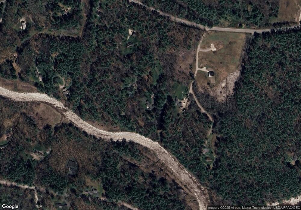
Map
Nearby Homes
- 14 Rachel Dr
- 6 Old Port Rd
- 8 Tidewater Ct
- 5 Heath Rd
- 28 River Locks Rd
- 45 and 57 Southgate Rd
- Lot#39 Bufflehead Cove Ln
- 57 Southgate Rd
- 4 Bufflehead Cove Ln
- 16 Oak St
- 19 Port View Ln Unit 19
- TBD Log Cabin
- 15 Christensen Ln Unit B1
- 00 Summer St
- 87 Boothby Rd
- 20 Ephraim Tyler Way Unit 20
- 15 Benjamin Hubbard Ln Unit 15
- 1 Ephraim Tyler Way Unit 1
- 12 Ephraim Tyler Way
- 12 Beach Ave
- 205 River Rd
- 30 Spruce Fields Ln
- 15 Spruce Fields Ln
- 217 River Rd
- 49 Spruce Fields Ln
- 45 Old Boston Rd
- 227 River Rd
- 28 Old Port Rd
- 40 Old Port Rd
- 36 Old Boston Rd
- 20 Old Port Rd
- 10 Old Boston Rd
- 29 Old Port Rd
- 230 River Rd
- 5 Fox Run
- 22 Evergreen Dr
- 7 Fox Run
- 7 Evergreen Dr
- 55 Old Port Rd
- 27 Old Port Rd