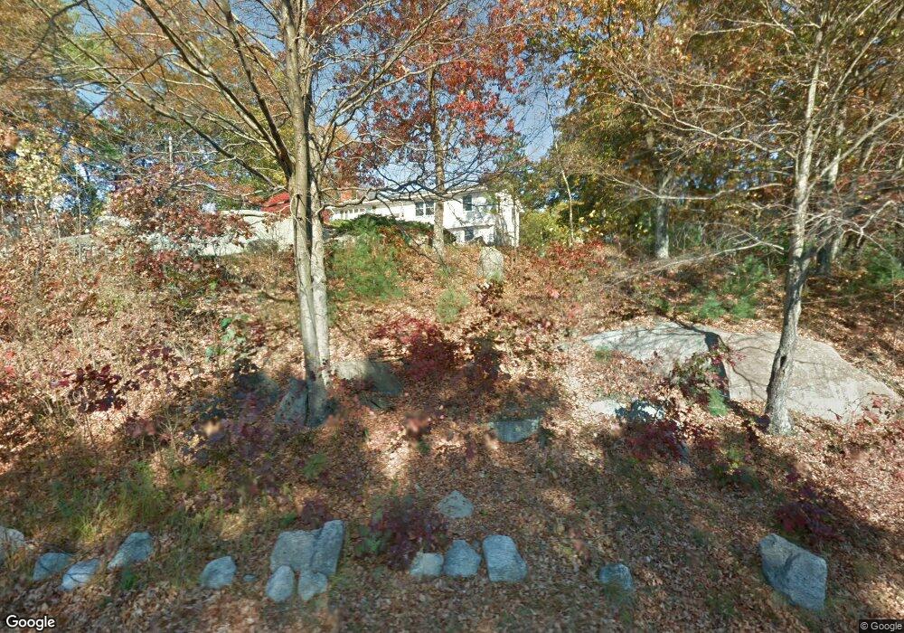
203 Rivulet St Uxbridge, MA 01569
Estimated Value: $548,000 - $616,000
4
Beds
2
Baths
2,304
Sq Ft
$252/Sq Ft
Est. Value
About This Home
This home is located at 203 Rivulet St, Uxbridge, MA 01569 and is currently estimated at $579,504, approximately $251 per square foot. 203 Rivulet St is a home located in Worcester County with nearby schools including Uxbridge High School, Our Lady of the Valley Regional School, and Whitinsville Christian School.
Ownership History
Date
Name
Owned For
Owner Type
Purchase Details
Closed on
Feb 13, 2021
Sold by
Sefakis John G and Sefakis Janet P
Bought by
Rivulet Street 2021 Rt
Current Estimated Value
Purchase Details
Closed on
Apr 12, 1996
Sold by
Carter Robert
Bought by
Sefakis John and Sefakis Janet
Create a Home Valuation Report for This Property
The Home Valuation Report is an in-depth analysis detailing your home's value as well as a comparison with similar homes in the area
Home Values in the Area
Average Home Value in this Area
Purchase History
| Date | Buyer | Sale Price | Title Company |
|---|---|---|---|
| Rivulet Street 2021 Rt | -- | None Available | |
| Sefakis John | $125,000 | -- |
Source: Public Records
Mortgage History
| Date | Status | Borrower | Loan Amount |
|---|---|---|---|
| Previous Owner | Sefakis John | $191,000 | |
| Previous Owner | Sefakis John | $188,000 | |
| Previous Owner | Sefakis John | $33,439 |
Source: Public Records
Tax History Compared to Growth
Tax History
| Year | Tax Paid | Tax Assessment Tax Assessment Total Assessment is a certain percentage of the fair market value that is determined by local assessors to be the total taxable value of land and additions on the property. | Land | Improvement |
|---|---|---|---|---|
| 2025 | $56 | $425,300 | $158,200 | $267,100 |
| 2024 | $5,394 | $417,500 | $150,400 | $267,100 |
| 2023 | $5,155 | $369,500 | $129,700 | $239,800 |
| 2022 | $4,780 | $315,300 | $114,000 | $201,300 |
| 2021 | $4,844 | $306,200 | $111,600 | $194,600 |
| 2020 | $4,496 | $268,600 | $110,100 | $158,500 |
| 2019 | $4,612 | $265,800 | $110,100 | $155,700 |
| 2018 | $4,368 | $254,400 | $110,100 | $144,300 |
| 2017 | $4,442 | $261,900 | $107,800 | $154,100 |
| 2016 | $4,357 | $248,000 | $99,200 | $148,800 |
| 2015 | $4,221 | $242,600 | $99,200 | $143,400 |
Source: Public Records
Map
Nearby Homes
- 0 Homestead Ave
- 235 Rivulet St
- 129 Elm St Unit Lot 7
- 99 Country Club Dr
- 35 Highland Park Unit 35
- 36 Elm St
- 307 N Main St
- 7 Jefferson Ct Unit 7
- 94 Heritage Dr Unit 94
- 3 Strathmore Shire Unit A
- 50 Carrington Ln
- 75 Lake St
- 0 Louis St
- 60 Tyler Dr
- 44 Arthur Dr Unit 44
- 128 Linwood Ave
- 48 Homeward Ave
- 9 Banning Dr
- 72 Homeward Ave
- 18 East St Unit 24
- 213 Rivulet St
- 191 Rivulet St
- 206 Rivulet St
- 1 Rivulet St
- 196 Rivulet St
- 185 Rivulet St
- 192 Rivulet St
- 221 Rivulet St
- 216 Rivulet St
- 181 Rivulet St
- 8 Homestead Ave
- 186 Rivulet St
- 16 Homestead Ave
- 220 Rivulet St
- 204 Rivulet St
- 182 Rivulet St
- 224 Rivulet St
- 176 Rivulet St
- 13 Homestead Ave
- 171 Rivulet St