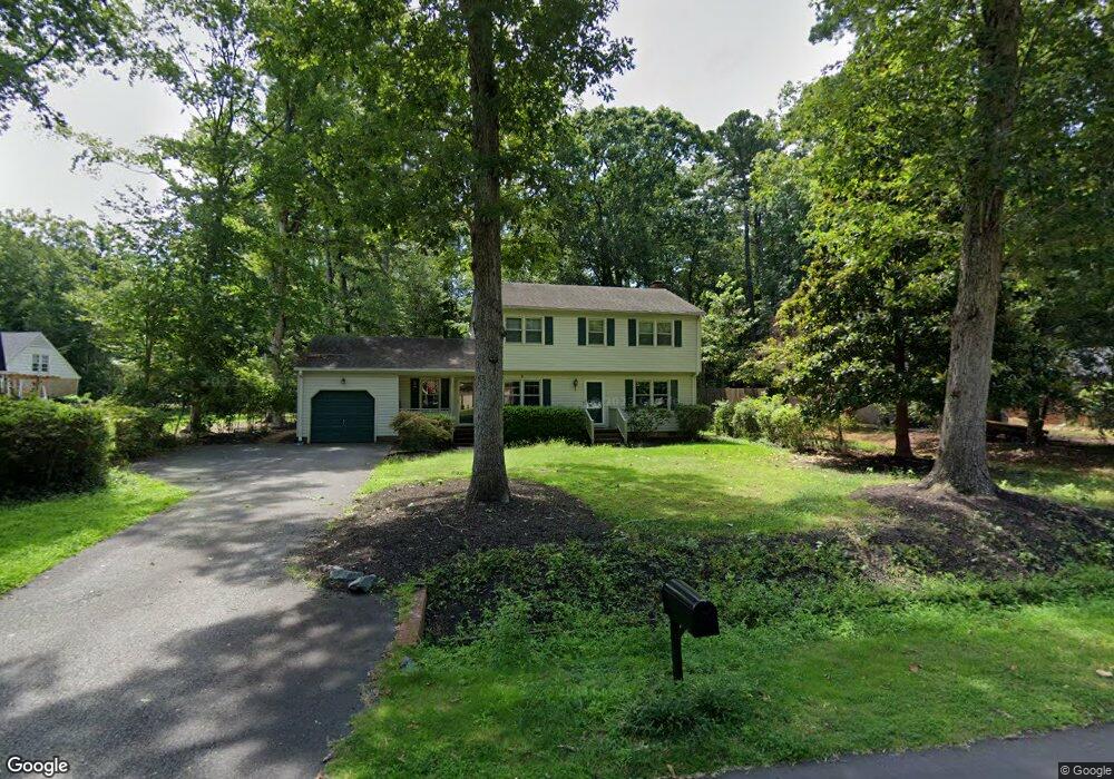
203 Robertson St Williamsburg, VA 23185
Jamestown NeighborhoodEstimated Value: $442,000 - $467,000
4
Beds
3
Baths
2,266
Sq Ft
$201/Sq Ft
Est. Value
About This Home
This home is located at 203 Robertson St, Williamsburg, VA 23185 and is currently estimated at $454,981, approximately $200 per square foot. 203 Robertson St is a home located in James City County with nearby schools including Clara Byrd Baker Elementary School, Lois Hornsby Middle School, and Jamestown High School.
Ownership History
Date
Name
Owned For
Owner Type
Purchase Details
Closed on
Jan 15, 2016
Sold by
Kenneth D Sharp Living Trust Dated March
Bought by
Stewart Christopher Shaun and Stewart Benjamin
Current Estimated Value
Home Financials for this Owner
Home Financials are based on the most recent Mortgage that was taken out on this home.
Original Mortgage
$256,500
Outstanding Balance
$204,067
Interest Rate
3.97%
Mortgage Type
New Conventional
Estimated Equity
$250,914
Create a Home Valuation Report for This Property
The Home Valuation Report is an in-depth analysis detailing your home's value as well as a comparison with similar homes in the area
Home Values in the Area
Average Home Value in this Area
Purchase History
| Date | Buyer | Sale Price | Title Company |
|---|---|---|---|
| Stewart Christopher Shaun | $270,000 | Lytle Title & Escrow Llc |
Source: Public Records
Mortgage History
| Date | Status | Borrower | Loan Amount |
|---|---|---|---|
| Open | Stewart Christopher Shaun | $256,500 |
Source: Public Records
Tax History
| Year | Tax Paid | Tax Assessment Tax Assessment Total Assessment is a certain percentage of the fair market value that is determined by local assessors to be the total taxable value of land and additions on the property. | Land | Improvement |
|---|---|---|---|---|
| 2025 | $2,483 | $380,600 | $103,400 | $277,200 |
| 2023 | $2,483 | $299,100 | $78,200 | $220,900 |
| 2022 | $2,483 | $299,100 | $78,200 | $220,900 |
| 2021 | $2,172 | $258,600 | $54,000 | $204,600 |
| 2020 | $2,172 | $258,600 | $54,000 | $204,600 |
| 2019 | $2,059 | $245,100 | $52,900 | $192,200 |
| 2018 | $2,059 | $245,100 | $52,900 | $192,200 |
| 2017 | $2,059 | $245,100 | $52,900 | $192,200 |
| 2016 | $2,059 | $245,100 | $52,900 | $192,200 |
| 2015 | -- | $245,100 | $52,900 | $192,200 |
| 2014 | -- | $245,100 | $52,900 | $192,200 |
Source: Public Records
Map
Nearby Homes
- 217 Robertson St
- 125 Arena St
- 3316 Reades Way
- 402 Prosperity Ct
- 3741 South Square
- 3705 South Square
- 2917 Richard Grove S
- 3527 Saunders Bridge
- 336 Fairway Lookout
- 371 Fairway Lookout
- 406 London Company Way
- 2529 Fair Chase
- 2509 Fair Chase
- 6135 Bold Stone Unit 8A
- 6133 Bold Stone Unit 8B
- 6129 Bold Stone Unit 8D
- 6127 Bold Stone Unit 8E
- 6123 Bold Stone Unit 9A
- 268 Mill Stream Way
- 6121 Bold Stone Unit 9B
- 205 Robertson St
- 102 Sabre Dr
- 104 Sabre Dr
- 202 St Georges Blvd
- 207 Robertson St
- 202 Robertson St
- 100 St Georges Blvd
- 204 Robertson St
- 106 Sabre Dr
- 201 St Georges Blvd
- 206 Robertson St
- 209 Robertson St
- 108 Sabre Dr
- 203 St Georges Blvd
- 101 Saint Georges Blvd
- 101 St Georges Blvd
- 105 Robertson St
- 208 Robertson St
- 103 Sabre Dr
- 205 Saint Georges Blvd
Your Personal Tour Guide
Ask me questions while you tour the home.