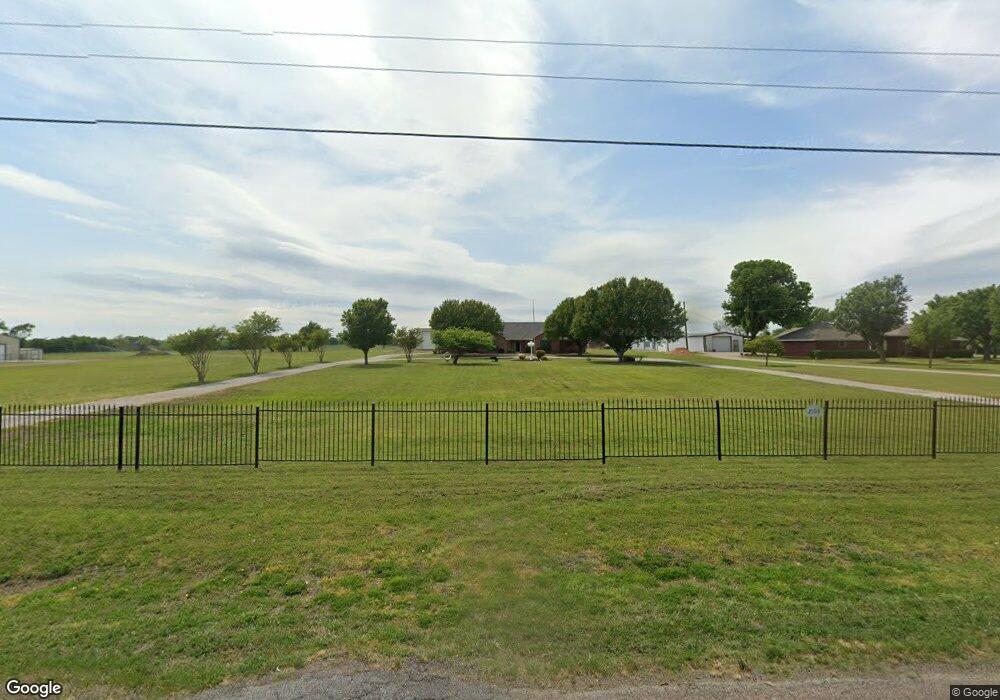
203 Rockport Rd Sherman, TX 75092
Estimated Value: $479,613 - $710,000
--
Bed
--
Bath
2,510
Sq Ft
$226/Sq Ft
Est. Value
About This Home
This home is located at 203 Rockport Rd, Sherman, TX 75092 and is currently estimated at $567,403, approximately $226 per square foot. 203 Rockport Rd is a home located in Grayson County with nearby schools including S&S Consolidated Elementary School, S&S Consolidated Middle School, and S. & S. Cons H.S..
Ownership History
Date
Name
Owned For
Owner Type
Purchase Details
Closed on
May 2, 2022
Sold by
Burt Donald R and Irrevocabl Maxine
Bought by
Burt Maxine
Current Estimated Value
Purchase Details
Closed on
Oct 6, 2021
Sold by
Burt Donald R and Irrevocabl Maxine
Bought by
Burt Maxine
Purchase Details
Closed on
Feb 26, 2007
Sold by
Burt Donald R and Burt Maxine
Bought by
Burt David Robert and Burt Steven Michael
Create a Home Valuation Report for This Property
The Home Valuation Report is an in-depth analysis detailing your home's value as well as a comparison with similar homes in the area
Home Values in the Area
Average Home Value in this Area
Purchase History
| Date | Buyer | Sale Price | Title Company |
|---|---|---|---|
| Burt Maxine | -- | New Title Company Name | |
| Burt Maxine | -- | New Title Company Name | |
| Burt David Robert | -- | None Available |
Source: Public Records
Tax History Compared to Growth
Tax History
| Year | Tax Paid | Tax Assessment Tax Assessment Total Assessment is a certain percentage of the fair market value that is determined by local assessors to be the total taxable value of land and additions on the property. | Land | Improvement |
|---|---|---|---|---|
| 2025 | $1,237 | $524,927 | -- | -- |
| 2024 | $7,125 | $477,206 | $0 | $0 |
| 2023 | $1,214 | $433,824 | $0 | $0 |
| 2022 | $6,632 | $394,385 | $0 | $0 |
| 2021 | $6,819 | $371,088 | $46,000 | $325,088 |
| 2020 | $6,393 | $325,938 | $21,000 | $304,938 |
| 2019 | $6,577 | $309,273 | $21,000 | $288,273 |
| 2018 | $5,775 | $296,574 | $21,000 | $275,574 |
| 2017 | $5,456 | $278,201 | $21,000 | $257,201 |
| 2016 | $4,981 | $265,742 | $21,000 | $244,742 |
| 2015 | $3,175 | $230,866 | $21,000 | $209,866 |
| 2014 | $3,229 | $211,759 | $20,000 | $191,759 |
Source: Public Records
Map
Nearby Homes
- 6514 Joyce Ln
- 1171 Rockport Rd
- 586 Pleasant Home Rd
- 00 Primrose Ln
- 2615 Rolling Hills Dr
- 3356 Old Dorchester Rd
- 1401 Cimmaron Trail
- 1404 Tejas Dr
- 10.96 Acres Wible Rd
- 750 Wible Rd
- TBD Wible Rd
- 1426 S Raven Dr
- 4501 Hawk Ln
- 1407 Swan Ridge Dr
- 4507 Falcon Dr
- 6935 S Farm To Market Road 1417
- 1415 Mallard Dr
- 1412 Ascot Ave
- 2134 Peggeys Cove
- 3508 Ballam St
- 173 Rockport Rd
- 175 Rockport Rd
- 121 Rockport Rd
- 245 Rockport Rd
- 198 Rockport Rd
- 176 Rockport Rd
- 152 Rockport Rd
- 220 Rockport Rd
- 246 Rockport Rd
- 134 Rockport Rd
- 108 Rockport Rd
- 282 Rockport Rd
- 303 Rockport Rd
- 42 Wagon Wheel Trail
- 288 Rockport Rd
- 41 Wagon Wheel Trail
- 200 Choctaw Est Cir
- 312 Rockport Rd
- 112 Choctaw Est Cir
- 39 Rockport Rd