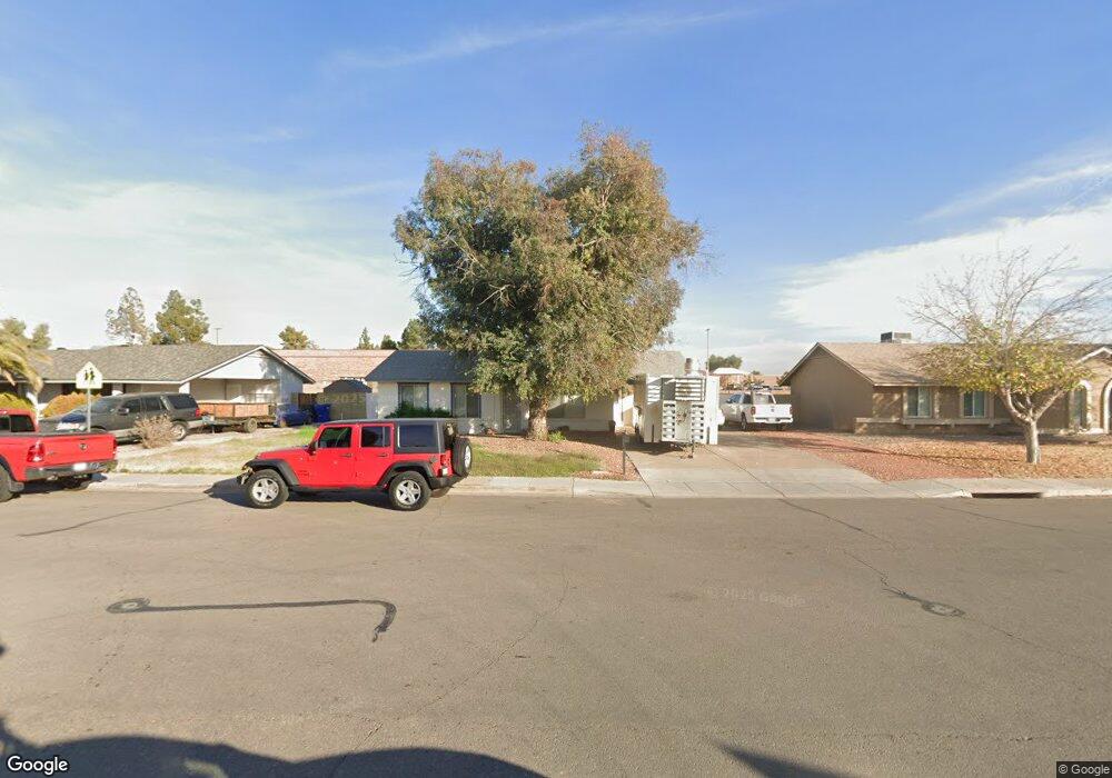
203 S 132nd St Chandler, AZ 85225
East Chandler NeighborhoodEstimated Value: $308,000 - $386,000
2
Beds
1
Bath
1,008
Sq Ft
$330/Sq Ft
Est. Value
About This Home
This home is located at 203 S 132nd St, Chandler, AZ 85225 and is currently estimated at $333,087, approximately $330 per square foot. 203 S 132nd St is a home located in Maricopa County with nearby schools including Chandler Traditional Academy-Humphrey, Willis Junior High School, and BASIS Chandler Primary North Campus.
Ownership History
Date
Name
Owned For
Owner Type
Purchase Details
Closed on
Oct 8, 2003
Sold by
Ortega Alfonso
Bought by
Yocum Richard David
Current Estimated Value
Home Financials for this Owner
Home Financials are based on the most recent Mortgage that was taken out on this home.
Original Mortgage
$88,000
Outstanding Balance
$38,344
Interest Rate
5.25%
Mortgage Type
New Conventional
Estimated Equity
$294,743
Purchase Details
Closed on
Nov 19, 1998
Sold by
Castillo Estella
Bought by
Ortega Alfonso
Purchase Details
Closed on
Nov 18, 1998
Sold by
Ortega Carmen B
Bought by
Ortega Alfonso
Create a Home Valuation Report for This Property
The Home Valuation Report is an in-depth analysis detailing your home's value as well as a comparison with similar homes in the area
Home Values in the Area
Average Home Value in this Area
Purchase History
| Date | Buyer | Sale Price | Title Company |
|---|---|---|---|
| Yocum Richard David | $110,000 | North American Title Co | |
| Ortega Alfonso | $87,500 | North American Title Agency | |
| Ortega Alfonso | -- | North American Title Agency |
Source: Public Records
Mortgage History
| Date | Status | Borrower | Loan Amount |
|---|---|---|---|
| Open | Yocum Richard David | $88,000 | |
| Closed | Yocum Richard David | $16,500 |
Source: Public Records
Tax History Compared to Growth
Tax History
| Year | Tax Paid | Tax Assessment Tax Assessment Total Assessment is a certain percentage of the fair market value that is determined by local assessors to be the total taxable value of land and additions on the property. | Land | Improvement |
|---|---|---|---|---|
| 2025 | $1,064 | $11,382 | -- | -- |
| 2024 | $1,027 | $10,840 | -- | -- |
| 2023 | $1,027 | $25,070 | $5,010 | $20,060 |
| 2022 | $995 | $18,750 | $3,750 | $15,000 |
| 2021 | $1,022 | $17,750 | $3,550 | $14,200 |
| 2020 | $1,017 | $15,910 | $3,180 | $12,730 |
| 2019 | $981 | $13,920 | $2,780 | $11,140 |
| 2018 | $953 | $12,230 | $2,440 | $9,790 |
| 2017 | $896 | $10,910 | $2,180 | $8,730 |
| 2016 | $865 | $10,220 | $2,040 | $8,180 |
| 2015 | $829 | $9,430 | $1,880 | $7,550 |
Source: Public Records
Map
Nearby Homes
- 6 S 132nd St
- 2214 E Frye Rd
- 76 N 133rd St
- 2109 E Cindy St
- 25 N Cottonwood St Unit 41
- 195 N Cottonwood St Unit 21
- 15802 S Gilbert Rd Unit 58
- 2010 E Butler St
- 15606 S Gilbert Rd Unit 128
- 333 S Cooper Rd
- 2691 E Hulet Dr
- 111 N Soho Place
- 2480 E Stephens Place
- 28 E Joseph Way
- 2660 E Hulet Dr
- 505 S Soho Ln Unit 30
- 83 N Amber Ct
- 60 S Willow Creek St
- 382 N Ashley Dr
- 75 E Elgin St
- 205 S 132nd St
- 201 S 132nd St Unit II
- 207 S 132nd St
- 2310 E Frye Rd
- 209 S 132nd St
- 2313 E Chicago St
- 3978 E Chicago St
- 2308 E Frye Rd
- 211 S 132nd St
- 2311 E Chicago St Unit 2
- 2306 E Frye Rd
- 2309 E Chicago St
- 2316 E Chicago St
- 213 S 132nd St
- 2314 E Chicago St
- 2304 E Frye Rd
- 2307 E Chicago St
- 2312 E Chicago St
- 2310 E Chicago St
- 2305 E Chicago St