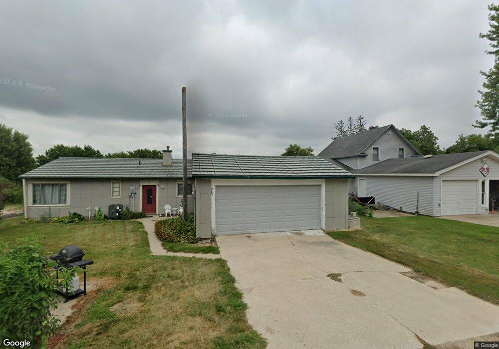
203 S Brown Ave Graettinger, IA 51342
Estimated Value: $59,000 - $82,000
Studio
--
Bath
1,200
Sq Ft
$62/Sq Ft
Est. Value
About This Home
This home is located at 203 S Brown Ave, Graettinger, IA 51342 and is currently estimated at $74,657, approximately $62 per square foot. 203 S Brown Ave is a home with nearby schools including Graettinger-Terril High School, Graettinger-Terril Elementary School, and Graettinger-Terril Middle School.
Ownership History
Date
Name
Owned For
Owner Type
Purchase Details
Closed on
Jul 14, 2020
Sold by
Berry Dennis R
Bought by
Berry Pamela A
Current Estimated Value
Purchase Details
Closed on
Sep 25, 2009
Sold by
Otteson Barbara C and Otteson David E
Bought by
Berry Dennis R and Berry Pamela A
Home Financials for this Owner
Home Financials are based on the most recent Mortgage that was taken out on this home.
Original Mortgage
$24,000
Outstanding Balance
$15,664
Interest Rate
5.15%
Mortgage Type
Future Advance Clause Open End Mortgage
Estimated Equity
$58,993
Create a Home Valuation Report for This Property
The Home Valuation Report is an in-depth analysis detailing your home's value as well as a comparison with similar homes in the area
Purchase History
We collect this data history from publicly available records. To have your information removed, we recommend requesting removal directly through your county’s website.
| Date | Buyer | Sale Price | Title Company |
|---|---|---|---|
| Berry Pamela A | -- | None Available | |
| Berry Dennis R | $30,000 | None Available |
Source: Public Records
Mortgage History
We collect this data history from publicly available records. To have your information removed, we recommend requesting removal directly through your county’s website.
| Date | Status | Borrower | Loan Amount |
|---|---|---|---|
| Open | Berry Dennis R | $24,000 |
Source: Public Records
Tax History
| Year | Tax Paid | Tax Assessment Tax Assessment Total Assessment is a certain percentage of the fair market value that is determined by local assessors to be the total taxable value of land and additions on the property. | Land | Improvement |
|---|---|---|---|---|
| 2025 | $306 | $51,440 | $7,760 | $43,680 |
| 2024 | $306 | $42,490 | $5,170 | $37,320 |
| 2023 | $504 | $42,490 | $5,170 | $37,320 |
| 2022 | $498 | $34,410 | $5,170 | $29,240 |
| 2021 | $456 | $34,410 | $5,170 | $29,240 |
| 2020 | $456 | $31,180 | $5,170 | $26,010 |
Source: Public Records
Map
Nearby Homes
- 205 W Lost Island St
- 601 W Robins Ave
- 0 N Cedar Ave
- 303 N Lincoln Ave
- 501 Wilson Ave
- 609 S Cedar Ave
- 503 W Olesen Thu St
- 2680 460th Ave
- 0 County Highway N26
- 00 County N26 Hwy
- 208 N 3rd St
- 2295 455th Ave
- 2219 454th Ave
- 105 Nolan Dr
- 34824 Cy Hawk Ave
- 3286 355th Ave
- 117 Nolan Dr
- Ford Rd Rockport Addition
- 307 Ford Rd
- 2071 395th Ave
- 205 S Brown Ave
- 302 W Lost Island St
- 206 S Lincoln Ave
- 304 W Lost Island St
- 204 S Brown Ave
- 206 S Brown Ave
- 204 W Lost Island St
- 301 S Brown Ave
- 302 S Lincoln Ave
- 104 S Maple Ave
- 303 S Brown Ave
- 303 W Lost Island St
- 302 S Brown Ave
- 205 S Cedar Ave
- 305 W Lost Island St
- 103 S Brown Ave
- 207 S Cedar Ave
- 304 S Lincoln Ave
- 201 S Cedar Ave
- 203 S Cedar Ave
Your Personal Tour Guide
Ask me questions while you tour the home.