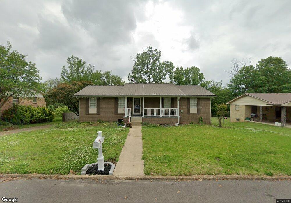
203 S Joann St Tupelo, MI 38801
Wilemon Acres NeighborhoodEstimated Value: $178,000 - $250,653
4
Beds
4
Baths
2,300
Sq Ft
$90/Sq Ft
Est. Value
About This Home
This home is located at 203 S Joann St, Tupelo, MI 38801 and is currently estimated at $207,913, approximately $90 per square foot. 203 S Joann St is a home located in Lee County with nearby schools including Thomas Street Elementary School, Pierce Street Elementary School, and Tupelo Middle School.
Ownership History
Date
Name
Owned For
Owner Type
Purchase Details
Closed on
Oct 3, 2011
Sold by
Lesley Matthew D
Bought by
Shurden Michael A and Surden Nancy
Current Estimated Value
Purchase Details
Closed on
Jul 26, 2007
Sold by
Gilmore Jeffrey H and Gilmore Lisa
Bought by
Garth Jerri Hunt and Garth Jari
Home Financials for this Owner
Home Financials are based on the most recent Mortgage that was taken out on this home.
Original Mortgage
$126,000
Interest Rate
6.63%
Create a Home Valuation Report for This Property
The Home Valuation Report is an in-depth analysis detailing your home's value as well as a comparison with similar homes in the area
Home Values in the Area
Average Home Value in this Area
Purchase History
| Date | Buyer | Sale Price | Title Company |
|---|---|---|---|
| Shurden Michael A | -- | -- | |
| Garth Jerri Hunt | -- | -- |
Source: Public Records
Mortgage History
| Date | Status | Borrower | Loan Amount |
|---|---|---|---|
| Previous Owner | Garth Jerri Hunt | $126,000 |
Source: Public Records
Tax History Compared to Growth
Tax History
| Year | Tax Paid | Tax Assessment Tax Assessment Total Assessment is a certain percentage of the fair market value that is determined by local assessors to be the total taxable value of land and additions on the property. | Land | Improvement |
|---|---|---|---|---|
| 2024 | $2,428 | $17,858 | $0 | $0 |
| 2023 | $1,894 | $14,154 | $0 | $0 |
| 2022 | $1,894 | $14,154 | $0 | $0 |
| 2021 | $1,894 | $14,154 | $0 | $0 |
| 2020 | $1,894 | $14,154 | $0 | $0 |
| 2019 | $1,807 | $13,503 | $0 | $0 |
| 2018 | $1,807 | $13,503 | $0 | $0 |
| 2017 | $1,800 | $13,503 | $0 | $0 |
| 2016 | $1,800 | $13,503 | $0 | $0 |
| 2015 | $982 | $8,524 | $0 | $0 |
| 2014 | $982 | $8,524 | $0 | $0 |
Source: Public Records
Map
Nearby Homes
- 2306 Woods St
- 2700 W Main St
- 214 Nanney Dr
- 405 S Foster Dr
- 402 Maynard Dr
- 0 W Jackson St
- 141 1802 West Jackson St
- 2509 Confederate Ave
- 1523 Central Ave
- 1338 W Jackson St
- 706 Robindale Dr
- 708 Robindale Dr
- 105 Yosemite Cir
- 2516 Hampton Ave
- 712 George Ave
- 25 ac Mississippi 6
- 909 Desoto Dr
- 802 Poplarville St
- 210 S Highland Dr
- Lot 26 Spring Lake (Jasmine)