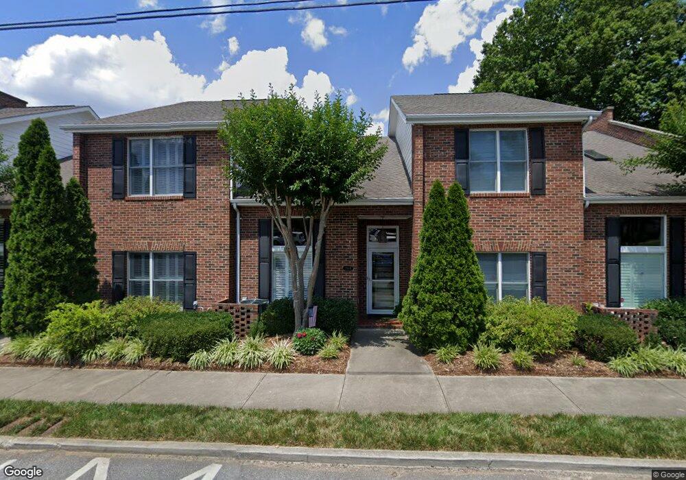
203 S King St Unit D Morganton, NC 28655
Estimated Value: $320,000 - $366,347
3
Beds
3
Baths
2,110
Sq Ft
$164/Sq Ft
Est. Value
About This Home
This home is located at 203 S King St Unit D, Morganton, NC 28655 and is currently estimated at $347,087, approximately $164 per square foot. 203 S King St Unit D is a home located in Burke County with nearby schools including Forest Hill Elementary School, Walter R. Johnson Middle School, and Robert L. Patton High School.
Ownership History
Date
Name
Owned For
Owner Type
Purchase Details
Closed on
Mar 17, 2023
Sold by
Johnson Ray J and Johnson Karen S
Bought by
Gantt John A and Bernard-Gantt Amber
Current Estimated Value
Purchase Details
Closed on
Jan 4, 2019
Sold by
Martin Merle
Bought by
Johnson Ray J and Johnson Karen S
Purchase Details
Closed on
Sep 10, 2004
Sold by
Maple Development Company Llc
Bought by
Martin Merle
Create a Home Valuation Report for This Property
The Home Valuation Report is an in-depth analysis detailing your home's value as well as a comparison with similar homes in the area
Home Values in the Area
Average Home Value in this Area
Purchase History
| Date | Buyer | Sale Price | Title Company |
|---|---|---|---|
| Gantt John A | $290,000 | None Listed On Document | |
| Gantt John A | $290,000 | -- | |
| Johnson Ray J | $228,000 | None Available | |
| Martin Merle | $200,000 | None Available |
Source: Public Records
Tax History Compared to Growth
Tax History
| Year | Tax Paid | Tax Assessment Tax Assessment Total Assessment is a certain percentage of the fair market value that is determined by local assessors to be the total taxable value of land and additions on the property. | Land | Improvement |
|---|---|---|---|---|
| 2025 | $1,776 | $302,559 | $30,000 | $272,559 |
| 2024 | $1,787 | $302,559 | $30,000 | $272,559 |
| 2023 | $1,782 | $302,559 | $30,000 | $272,559 |
| 2022 | $1,748 | $239,695 | $30,000 | $209,695 |
| 2021 | $1,742 | $239,695 | $30,000 | $209,695 |
| 2020 | $1,738 | $239,695 | $30,000 | $209,695 |
| 2019 | $1,738 | $239,695 | $30,000 | $209,695 |
| 2018 | $1,503 | $205,889 | $16,170 | $189,719 |
| 2017 | $1,501 | $205,889 | $16,170 | $189,719 |
| 2016 | $1,465 | $205,889 | $16,170 | $189,719 |
| 2015 | $1,462 | $205,889 | $16,170 | $189,719 |
| 2014 | $1,461 | $205,889 | $16,170 | $189,719 |
| 2013 | $1,461 | $205,889 | $16,170 | $189,719 |
Source: Public Records
Map
Nearby Homes
- 118 W Union St Unit A
- 203 Beacon Ave
- 302 White St
- VL E Concord St
- 00 S Anderson St
- 103 Ramsey St
- 214 Howard St
- 710 Bouchelle St
- 406 Lenoir St
- 244 N Anderson St
- 609 E Concord St
- Lot 2 Lane St Unit 2
- Lot 5 Lane St Unit 5
- Lot 6 Lane St Unit 6
- Lot 4 Lane St Unit 4
- Lot 3 Lane St Unit 3
- 218 Davis Dr
- 209 Park St
- 718 E Union St
- 0 Coal Shute Rd Unit CAR3935533
- 203 S King St Unit C
- 203 S King St Unit A
- 203 S King St Unit B
- 203 S King St
- 205 S King St
- 202 S Sterling St
- 201C S King St
- 201B S King St
- 115 W Meeting St
- 201A S King St
- 117 W Meeting St
- 119 W Meeting St
- 104 W Concord St
- 121 W Meeting St
- 12 Ac Wild Turkey Way
- 123 W Meeting St
- 00 Wild Turkey Way
- 0 Wild Turkey Way Unit 921958
- 9999 V L 69 Lighthouse Ct
- 210 NW Braxton Gate Dr NW Unit 210