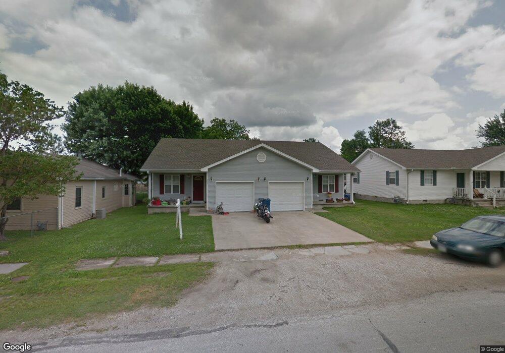
203 S Roney St Unit 209 Carl Junction, MO 64834
Estimated Value: $239,000
--
Bed
2
Baths
2,016
Sq Ft
$119/Sq Ft
Est. Value
About This Home
This home is located at 203 S Roney St Unit 209, Carl Junction, MO 64834 and is currently estimated at $239,000, approximately $118 per square foot. 203 S Roney St Unit 209 is a home located in Jasper County with nearby schools including Carl Junction Primary School (K-1), Carl Junction Intermediate School, and Carl Junction Primary School (2-3).
Ownership History
Date
Name
Owned For
Owner Type
Purchase Details
Closed on
Sep 11, 2020
Sold by
Csc Bentage Llc
Bought by
Long Distance Invst Llc
Current Estimated Value
Create a Home Valuation Report for This Property
The Home Valuation Report is an in-depth analysis detailing your home's value as well as a comparison with similar homes in the area
Home Values in the Area
Average Home Value in this Area
Purchase History
| Date | Buyer | Sale Price | Title Company |
|---|---|---|---|
| Long Distance Invst Llc | -- | None Available |
Source: Public Records
Tax History Compared to Growth
Tax History
| Year | Tax Paid | Tax Assessment Tax Assessment Total Assessment is a certain percentage of the fair market value that is determined by local assessors to be the total taxable value of land and additions on the property. | Land | Improvement |
|---|---|---|---|---|
| 2025 | $1,265 | $24,640 | $1,000 | $23,640 |
| 2024 | $1,273 | $21,620 | $1,000 | $20,620 |
| 2023 | $1,273 | $21,620 | $1,000 | $20,620 |
| 2022 | $1,297 | $21,970 | $1,000 | $20,970 |
| 2021 | $1,113 | $21,970 | $1,000 | $20,970 |
| 2020 | $1,040 | $20,190 | $1,000 | $19,190 |
| 2019 | $988 | $20,190 | $1,000 | $19,190 |
| 2018 | $1,070 | $21,930 | $0 | $0 |
| 2017 | $1,073 | $21,930 | $0 | $0 |
| 2016 | $1,124 | $23,180 | $0 | $0 |
| 2015 | $1,124 | $23,180 | $0 | $0 |
| 2014 | $1,124 | $21,640 | $0 | $0 |
Source: Public Records
Map
Nearby Homes
- 106 S Roney St
- 311 S Roney St
- TBD S Roney St
- 409 Gault St
- 409 W Gault St
- 205 Allen St
- 114 W Walton Ave
- 408 W Walton Ave
- 505 W Walton Ave
- 802 Aberdeen Ave
- 819 Delaney Dr
- 815 Delaney Dr
- 105 Summit St
- 503 Valley View
- Tract 3 Prairie Ln
- Tract 2 Prairie Ln
- Tract 1 Prairie Ln
- Tract 4 Prairie Ln
- 907 Aberdeen Ave
- 711 Prairie Ln
- 203 S Roney St Unit 209
- 203 S Roney St
- 201 S Roney St
- 410 W Marshall
- 203 W Allen St Unit 2
- 201 W Allen St
- 111 S Roney St
- 202 Cowgill St
- 202 S Cowgill St
- 208 S Cowgill St
- 107 S Roney St Unit 109
- 212 S Cowgill St
- 212 Cowgill St
- 211 Cowgill St
- 210 Cowgill St
- 206 Cowgill St
- 301 S Roney St
- 212 N Roney St
- 105 S Roney St
- 303 S Roney St