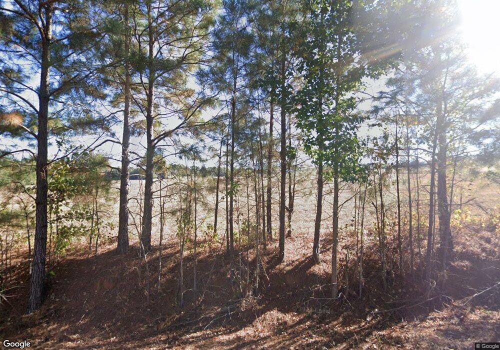
203 Scott Rd Plain Dealing, LA 71064
Estimated Value: $221,000 - $396,000
3
Beds
3
Baths
2,279
Sq Ft
$148/Sq Ft
Est. Value
About This Home
This home is located at 203 Scott Rd, Plain Dealing, LA 71064 and is currently estimated at $338,211, approximately $148 per square foot. 203 Scott Rd is a home located in Bossier Parish.
Ownership History
Date
Name
Owned For
Owner Type
Purchase Details
Closed on
May 24, 2012
Sold by
Christian Veronica Shea Hasaway
Bought by
Christina Clayton Reid
Current Estimated Value
Purchase Details
Closed on
Jul 14, 2008
Sold by
Wright Josie Pepper
Bought by
Christian Richard Wayne and Christian Barbara Jane Spilker
Home Financials for this Owner
Home Financials are based on the most recent Mortgage that was taken out on this home.
Original Mortgage
$191,250
Interest Rate
6.09%
Mortgage Type
Future Advance Clause Open End Mortgage
Create a Home Valuation Report for This Property
The Home Valuation Report is an in-depth analysis detailing your home's value as well as a comparison with similar homes in the area
Home Values in the Area
Average Home Value in this Area
Purchase History
| Date | Buyer | Sale Price | Title Company |
|---|---|---|---|
| Christina Clayton Reid | -- | None Available | |
| Christian Richard Wayne | -- | None Available |
Source: Public Records
Mortgage History
| Date | Status | Borrower | Loan Amount |
|---|---|---|---|
| Previous Owner | Christian Richard Wayne | $191,250 |
Source: Public Records
Tax History
| Year | Tax Paid | Tax Assessment Tax Assessment Total Assessment is a certain percentage of the fair market value that is determined by local assessors to be the total taxable value of land and additions on the property. | Land | Improvement |
|---|---|---|---|---|
| 2024 | $2,823 | $30,715 | $678 | $30,037 |
| 2023 | $2,448 | $26,450 | $678 | $25,772 |
| 2022 | $2,436 | $678 | $678 | $0 |
| 2021 | $65 | $510 | $510 | $0 |
| 2020 | $1,216 | $9,299 | $510 | $8,789 |
| 2019 | $1,284 | $9,640 | $510 | $9,130 |
| 2018 | $1,284 | $9,640 | $510 | $9,130 |
| 2017 | $1,256 | $9,640 | $510 | $9,130 |
| 2016 | $307 | $9,640 | $510 | $9,130 |
| 2015 | $1,090 | $8,830 | $400 | $8,430 |
| 2014 | $1,090 | $8,830 | $400 | $8,430 |
Source: Public Records
Map
Nearby Homes
- 0 Highway 157 Unit 20607118
- 16591 Highway 157
- 0 Highway 160 Unit 21090372
- 150 Fire Tower Rd
- 2310 Louisiana 160
- 819 Mockingbird Ln
- Lot 7 Mockingbird Ln
- Lot 8 Mockingbird Ln
- Lot 14 Mockingbird Ln
- Lot 5 Mockingbird Ln
- Lot 6 Mockingbird Ln
- Lot 9 Mockingbird Ln
- Lot 10 Mockingbird Ln
- Lot 11 Mockingbird Ln
- Lot 12 Mockingbird Ln
- Lot 13 Mockingbird Ln
- 814 E Palmetto Ave
- 9626 Highway 3
- Lot 3 E Gilmer St
- 619 E Palmetto Ave
Your Personal Tour Guide
Ask me questions while you tour the home.
