203 Setucket Rd South Dennis, MA 02660
South Dennis NeighborhoodEstimated Value: $1,005,000 - $1,519,000
5
Beds
4
Baths
3,429
Sq Ft
$355/Sq Ft
Est. Value
About This Home
This home is located at 203 Setucket Rd, South Dennis, MA 02660 and is currently estimated at $1,217,417, approximately $355 per square foot. 203 Setucket Rd is a home located in Barnstable County with nearby schools including Dennis-Yarmouth Regional High School.
Ownership History
Date
Name
Owned For
Owner Type
Purchase Details
Closed on
Jul 2, 2022
Sold by
Wilcox Ft
Bought by
Robin Wilcox T
Current Estimated Value
Purchase Details
Closed on
Nov 30, 2007
Sold by
Wilcox Robin W
Bought by
Wilcox Ft
Create a Home Valuation Report for This Property
The Home Valuation Report is an in-depth analysis detailing your home's value as well as a comparison with similar homes in the area
Home Values in the Area
Average Home Value in this Area
Purchase History
| Date | Buyer | Sale Price | Title Company |
|---|---|---|---|
| Robin Wilcox T | -- | None Available | |
| Wilcox Ft | -- | -- |
Source: Public Records
Tax History
| Year | Tax Paid | Tax Assessment Tax Assessment Total Assessment is a certain percentage of the fair market value that is determined by local assessors to be the total taxable value of land and additions on the property. | Land | Improvement |
|---|---|---|---|---|
| 2025 | $5,364 | $1,238,900 | $238,100 | $1,000,800 |
| 2024 | $5,272 | $1,200,800 | $228,900 | $971,900 |
| 2023 | $5,156 | $1,104,100 | $208,100 | $896,000 |
| 2022 | $4,936 | $881,400 | $208,200 | $673,200 |
| 2021 | $4,996 | $828,600 | $204,100 | $624,500 |
| 2020 | $5,216 | $855,100 | $204,100 | $651,000 |
| 2019 | $4,988 | $808,400 | $220,200 | $588,200 |
| 2018 | $4,564 | $719,900 | $190,600 | $529,300 |
| 2017 | $4,327 | $703,500 | $190,600 | $512,900 |
| 2016 | $3,292 | $504,200 | $200,200 | $304,000 |
| 2015 | $3,227 | $504,200 | $200,200 | $304,000 |
| 2014 | $3,030 | $477,100 | $171,600 | $305,500 |
Source: Public Records
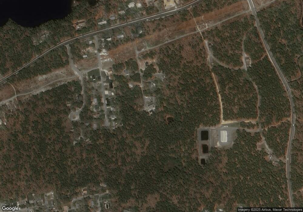
Map
Nearby Homes
- 52 Uncle Bobs Way
- 16 Hazelwood Rd
- 10 Uncle Bills Way
- 71 Grassy Pond Dr
- 32 Captain Walsh Dr
- 18 Asack Dr
- 1 Charing Cross Rd
- 14 S Yarmouth Rd
- 39 Whittier Dr
- 26 S West Dr
- 7 Vinland Dr
- 17 Fairmount Rd
- 17 Fairmount Rd
- 61 Terrace Hill Dr
- 111 Merchant Ave
- 58 Terrace Hill Dr
- 2 Buttercup Ln
- 59 Main St Unit 7-3
- 59 Main St Unit 19-2
- 59 Route 6a Unit 9-2
Your Personal Tour Guide
Ask me questions while you tour the home.