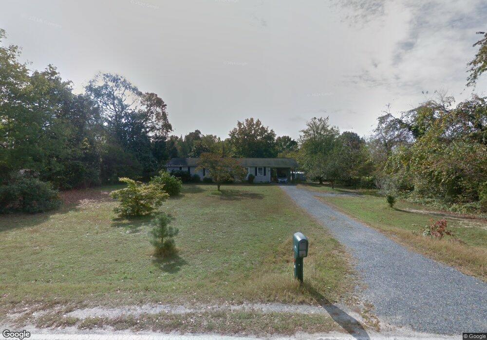
203 Sharp Rd Denton, MD 21629
Estimated Value: $276,170 - $346,000
3
Beds
2
Baths
1,344
Sq Ft
$234/Sq Ft
Est. Value
About This Home
This home is located at 203 Sharp Rd, Denton, MD 21629 and is currently estimated at $314,043, approximately $233 per square foot. 203 Sharp Rd is a home located in Caroline County with nearby schools including Denton Elementary School, Lockerman Middle School, and North Caroline High School.
Ownership History
Date
Name
Owned For
Owner Type
Purchase Details
Closed on
Dec 1, 2009
Sold by
Rubin Michael And
Bought by
Obryen Elizabeth A
Current Estimated Value
Purchase Details
Closed on
Jun 24, 1999
Sold by
Butler James W and Butler Sylvia S
Bought by
Rubin Michael and Rubin Cheryl L
Purchase Details
Closed on
Jul 3, 1985
Sold by
Oakes Twaun Donald
Bought by
Butler James W and Butler Sylvia S
Create a Home Valuation Report for This Property
The Home Valuation Report is an in-depth analysis detailing your home's value as well as a comparison with similar homes in the area
Home Values in the Area
Average Home Value in this Area
Purchase History
| Date | Buyer | Sale Price | Title Company |
|---|---|---|---|
| Obryen Elizabeth A | $178,000 | -- | |
| Rubin Michael | $100,000 | -- | |
| Butler James W | $10,000 | -- |
Source: Public Records
Mortgage History
| Date | Status | Borrower | Loan Amount |
|---|---|---|---|
| Closed | Obryen Elizabeth A | -- |
Source: Public Records
Tax History
| Year | Tax Paid | Tax Assessment Tax Assessment Total Assessment is a certain percentage of the fair market value that is determined by local assessors to be the total taxable value of land and additions on the property. | Land | Improvement |
|---|---|---|---|---|
| 2025 | $3,285 | $209,000 | $56,200 | $152,800 |
| 2024 | $2,732 | $196,833 | $0 | $0 |
| 2023 | $2,290 | $184,667 | $0 | $0 |
| 2022 | $3,026 | $172,500 | $56,200 | $116,300 |
| 2020 | $2,838 | $156,167 | $0 | $0 |
| 2019 | $2,727 | $148,000 | $51,200 | $96,800 |
| 2018 | $2,666 | $146,667 | $0 | $0 |
| 2017 | $2,635 | $145,333 | $0 | $0 |
| 2016 | -- | $144,000 | $0 | $0 |
| 2015 | $2,544 | $144,000 | $0 | $0 |
| 2014 | $2,544 | $144,000 | $0 | $0 |
Source: Public Records
Map
Nearby Homes
- 1111 Trice Meadows Cir
- 322 Deep Shore Rd
- 1302 Trice Meadows Cir
- 311 Kerr Ave
- 318 Carter Ave
- 341 Academy Ave
- 300 S 1st St
- 207 S 7th St
- 112 S 5th Ave
- 106 S 6th St
- 406 Morning Glory Dr
- 1005 Market St
- 406 Lincoln St
- 501 Lincoln St
- 315 Morning Glory Dr
- 1303 Fairfield Ct
- 1203 Tuckahoe Ct
- 24872 Meeting House Rd
- 1507 Blue Heron Dr
- 1202 Blue Heron Dr
- 207 Sharp Rd
- 209 Sharp Rd
- 1011 S 2nd St
- 1010 S 2nd St
- 213 Sharp Rd
- 1110 Lupine Ln
- 214 Sharp Rd
- 1006 S 2nd St
- 210 Sharp Rd
- 1007 S 2nd St
- 110 Sharp Rd
- 0 Sharp Rd E Unit 1001001519
- 0 Sharp Rd E Unit CM10069316
- 1124 Lupine Ln
- 1010 Suzanne Dr
- 1000 S 2nd St
- 1001 S 2nd St
- 104 Sharp Rd
- 208 Martha Jane St
- 121 Sharp Rd
Your Personal Tour Guide
Ask me questions while you tour the home.