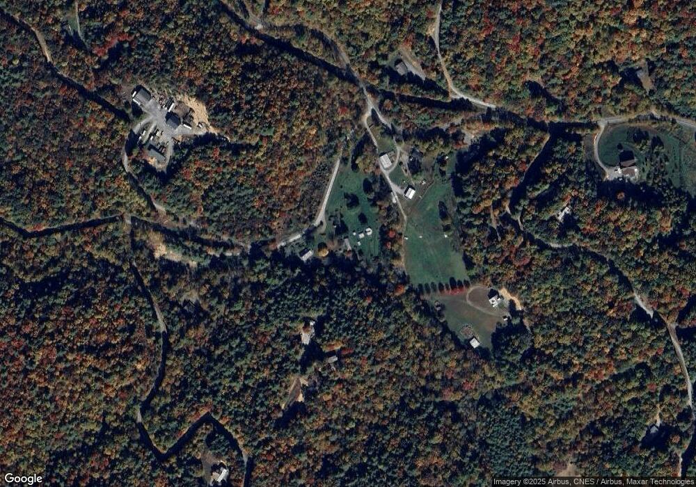
203 Signal Tree Rd Unit 205 Deep Gap, NC 28618
Estimated Value: $484,000 - $687,872
3
Beds
4
Baths
1,856
Sq Ft
$301/Sq Ft
Est. Value
About This Home
This home is located at 203 Signal Tree Rd Unit 205, Deep Gap, NC 28618 and is currently estimated at $559,218, approximately $301 per square foot. 203 Signal Tree Rd Unit 205 is a home located in Watauga County with nearby schools including Parkway Elementary School and Watauga High School.
Ownership History
Date
Name
Owned For
Owner Type
Purchase Details
Closed on
Mar 8, 2018
Sold by
Mtglq Investors Lp
Bought by
Davis Constance Marie
Current Estimated Value
Home Financials for this Owner
Home Financials are based on the most recent Mortgage that was taken out on this home.
Original Mortgage
$172,720
Outstanding Balance
$148,182
Interest Rate
4.43%
Mortgage Type
New Conventional
Estimated Equity
$411,036
Create a Home Valuation Report for This Property
The Home Valuation Report is an in-depth analysis detailing your home's value as well as a comparison with similar homes in the area
Home Values in the Area
Average Home Value in this Area
Purchase History
| Date | Buyer | Sale Price | Title Company |
|---|---|---|---|
| Davis Constance Marie | $216,000 | None Available |
Source: Public Records
Mortgage History
| Date | Status | Borrower | Loan Amount |
|---|---|---|---|
| Open | Davis Constance Marie | $172,720 |
Source: Public Records
Tax History Compared to Growth
Tax History
| Year | Tax Paid | Tax Assessment Tax Assessment Total Assessment is a certain percentage of the fair market value that is determined by local assessors to be the total taxable value of land and additions on the property. | Land | Improvement |
|---|---|---|---|---|
| 2024 | $1,953 | $474,800 | $84,500 | $390,300 |
| 2023 | $1,907 | $474,800 | $84,500 | $390,300 |
| 2022 | $1,907 | $474,800 | $84,500 | $390,300 |
| 2021 | $1,336 | $259,500 | $120,700 | $138,800 |
| 2020 | $1,336 | $259,500 | $120,700 | $138,800 |
| 2019 | $1,336 | $259,500 | $120,700 | $138,800 |
| 2018 | $1,018 | $232,800 | $120,700 | $112,100 |
| 2017 | $1,336 | $232,800 | $120,700 | $112,100 |
| 2013 | -- | $262,700 | $97,900 | $164,800 |
Source: Public Records
Map
Nearby Homes
- 84 Wilderness Reserve Pkwy
- Lot 54 Wildcat Wilderness Pkwy
- 217 Mount Paron Rd
- 10.1 acres Powder Horn Mountain Rd
- 167 Wagon Wheel Ln
- TBD Wildcat Rd
- Lot 115 Autumn Sunset Overlook
- Lot 51 Wilderness Reserve Pkwy
- Lot 65 Angelfire Trail
- Lot 12 Wildcat Wilderness Pkwy
- Lot 46 Wildcat Wilderness Pkwy
- Lot 47 Wildcat Wilderness Pkwy
- Lot 49 Wildcat Wilderness Pkwy
- 27 Wilderness Reserve Pkwy
- 13 Wilderness Reserve Pkwy
- Lot 137 Angelfire Trail
- Lot 99 Wildcat Wilderness Pkwy
- Lot-142 Angelfire Trail
- Lot 153 Angelfire Trail
- Lot 61 Wildcat Wilderness Pkwy
- 417 Wild Turkey Crossing
- 305 Signal Tree Rd
- 205 Signal Tree Rd
- 303 Signal Tree Rd
- 4316 Wildcat Rd Unit 4318
- 4318 Wildcat Rd
- 153 Monte Verde Rd
- 554 Wild Turkey Crossing
- 292 Wildcat Ridge Rd
- 624 Wildcat Ridge Rd
- 708 Wild Turkey Crossing
- 353 Wildcat Ridge Rd
- 409 Monte Verde Rd
- Tbd 4.4 Acres Wildcat Rd
- 915 Wildcat Ridge Rd
- 335 Wildcat Ridge Rd
- TBD Monte Verde Rd
- 3940 Wildcat Rd
- TBD Wildcat Ridge Rd
- 451 Signal Tree Rd
