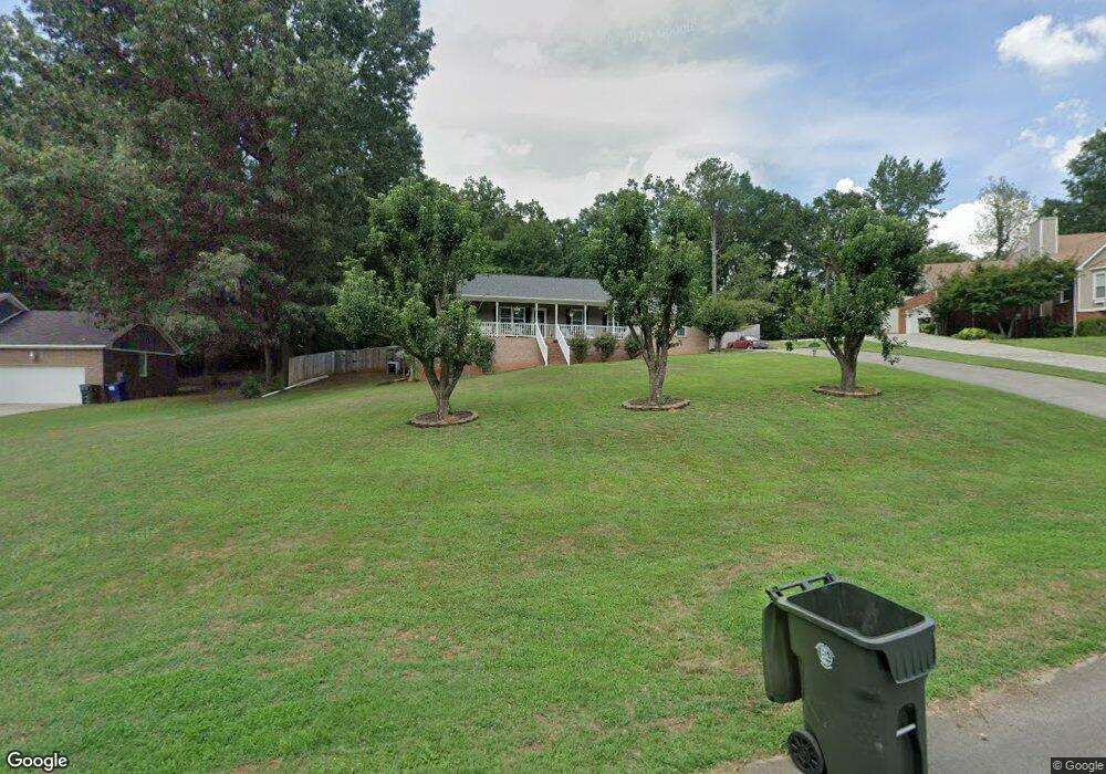
203 Sparrow Cir Huntsville, AL 35811
Estimated Value: $244,000 - $269,000
--
Bed
--
Bath
1,470
Sq Ft
$171/Sq Ft
Est. Value
About This Home
This home is located at 203 Sparrow Cir, Huntsville, AL 35811 and is currently estimated at $251,344, approximately $170 per square foot. 203 Sparrow Cir is a home with nearby schools including Central School and Madison County High School.
Ownership History
Date
Name
Owned For
Owner Type
Purchase Details
Closed on
Mar 17, 2015
Sold by
Shafer James A and Shafer Gail
Bought by
Kubaliak Larie and Kubaliak Martin
Current Estimated Value
Home Financials for this Owner
Home Financials are based on the most recent Mortgage that was taken out on this home.
Original Mortgage
$90,000
Outstanding Balance
$68,956
Interest Rate
3.69%
Mortgage Type
New Conventional
Estimated Equity
$182,388
Create a Home Valuation Report for This Property
The Home Valuation Report is an in-depth analysis detailing your home's value as well as a comparison with similar homes in the area
Home Values in the Area
Average Home Value in this Area
Purchase History
| Date | Buyer | Sale Price | Title Company |
|---|---|---|---|
| Kubaliak Larie | $112,500 | None Available |
Source: Public Records
Mortgage History
| Date | Status | Borrower | Loan Amount |
|---|---|---|---|
| Open | Kubaliak Larie | $90,000 |
Source: Public Records
Tax History Compared to Growth
Tax History
| Year | Tax Paid | Tax Assessment Tax Assessment Total Assessment is a certain percentage of the fair market value that is determined by local assessors to be the total taxable value of land and additions on the property. | Land | Improvement |
|---|---|---|---|---|
| 2024 | $755 | $22,320 | $4,000 | $18,320 |
| 2023 | $755 | $20,900 | $4,000 | $16,900 |
| 2022 | $605 | $18,160 | $3,260 | $14,900 |
| 2021 | $525 | $15,920 | $2,760 | $13,160 |
| 2020 | $444 | $13,630 | $1,800 | $11,830 |
| 2019 | $428 | $13,190 | $1,800 | $11,390 |
| 2018 | $409 | $12,660 | $0 | $0 |
| 2017 | $397 | $12,340 | $0 | $0 |
| 2016 | $397 | $12,340 | $0 | $0 |
| 2015 | $890 | $24,680 | $0 | $0 |
| 2014 | $393 | $12,220 | $0 | $0 |
Source: Public Records
Map
Nearby Homes
- 151 Cooper Dr
- 1519 Ryland Pike
- 216 Grasslands Rd
- 3608 Maysville Rd NE
- 221 Grasslands Rd
- 111 Cool Cir
- 477 Moontown Rd
- 506 Moontown Rd
- 220 Poplar Glen
- 362 Moontown Rd
- 113 Delta Pine Dr
- 123 Delta Pine Dr
- 211 Powell St
- 172 Day Dr
- 218 Powell St
- 233 Oakland View Dr
- 115 Elvis Presley Blvd
- 109 Jones Cir
- 230 Oakland View Dr
- 102 Peyton Cir
- 205 Sparrow Cir
- 201 Sparrow Cir
- 200 Sparrow Cir
- 207 Sparrow Cir
- 202 Sparrow Cir
- 206 Sparrow Cir
- 204 Sparrow Cir
- 126 Kilpatrick Dr
- 124 Kilpatrick Dr
- 126 Eva Ct
- 129 Cooper Dr
- 125 Eva Ct
- 128 Kilpatrick Dr
- 122 Kilpatrick Dr
- 128 Brookes Landing Dr
- 120 Kilpatrick Dr
- 130 Kilpatrick Dr
- 127 Cooper Dr
- 211 Sparrow Cir
- 118 Kilpatrick Dr