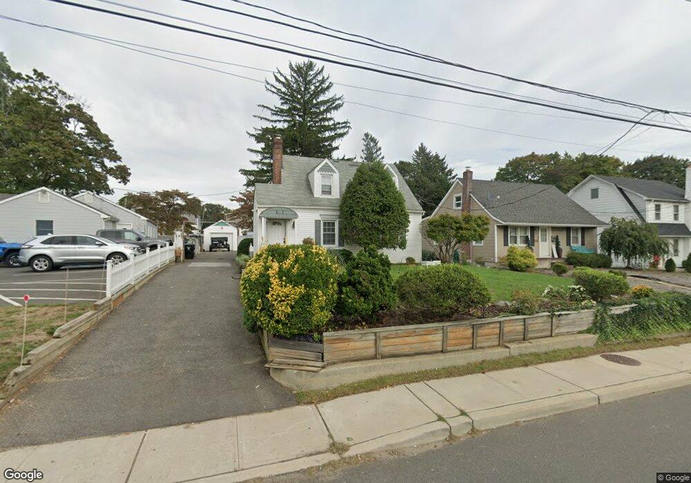
203 State Route 35 Red Bank, NJ 07701
New Monmouth NeighborhoodEstimated Value: $455,201 - $511,000
2
Beds
1
Bath
875
Sq Ft
$563/Sq Ft
Est. Value
About This Home
This home is located at 203 State Route 35, Red Bank, NJ 07701 and is currently estimated at $492,300, approximately $562 per square foot. 203 State Route 35 is a home located in Monmouth County with nearby schools including Fairview Elementary School, Bayshore Middle School, and Middletown High School North.
Ownership History
Date
Name
Owned For
Owner Type
Purchase Details
Closed on
Jul 1, 2003
Sold by
Sorrenti James
Bought by
Tevis Lisa
Current Estimated Value
Home Financials for this Owner
Home Financials are based on the most recent Mortgage that was taken out on this home.
Original Mortgage
$207,900
Outstanding Balance
$88,522
Interest Rate
5.28%
Estimated Equity
$403,778
Purchase Details
Closed on
Apr 1, 1996
Sold by
Goode Ruth
Bought by
Sorrenti James
Home Financials for this Owner
Home Financials are based on the most recent Mortgage that was taken out on this home.
Original Mortgage
$964,000
Interest Rate
8.28%
Mortgage Type
VA
Create a Home Valuation Report for This Property
The Home Valuation Report is an in-depth analysis detailing your home's value as well as a comparison with similar homes in the area
Home Values in the Area
Average Home Value in this Area
Purchase History
| Date | Buyer | Sale Price | Title Company |
|---|---|---|---|
| Tevis Lisa | $259,900 | -- | |
| Sorrenti James | $101,000 | -- |
Source: Public Records
Mortgage History
| Date | Status | Borrower | Loan Amount |
|---|---|---|---|
| Open | Tevis Lisa | $207,900 | |
| Previous Owner | Sorrenti James | $964,000 |
Source: Public Records
Tax History Compared to Growth
Tax History
| Year | Tax Paid | Tax Assessment Tax Assessment Total Assessment is a certain percentage of the fair market value that is determined by local assessors to be the total taxable value of land and additions on the property. | Land | Improvement |
|---|---|---|---|---|
| 2025 | $5,930 | $379,700 | $226,200 | $153,500 |
| 2024 | $5,589 | $360,500 | $209,800 | $150,700 |
| 2023 | $5,589 | $321,600 | $209,800 | $111,800 |
| 2022 | $4,609 | $246,300 | $139,900 | $106,400 |
| 2021 | $4,609 | $221,600 | $127,000 | $94,600 |
| 2020 | $4,693 | $219,500 | $127,000 | $92,500 |
| 2019 | $4,625 | $219,000 | $127,000 | $92,000 |
| 2018 | $4,653 | $214,700 | $127,000 | $87,700 |
| 2017 | $4,724 | $215,800 | $127,000 | $88,800 |
| 2016 | $4,737 | $222,300 | $127,000 | $95,300 |
| 2015 | $4,897 | $221,900 | $127,000 | $94,900 |
| 2014 | $4,838 | $213,800 | $127,000 | $86,800 |
Source: Public Records
Map
Nearby Homes
- 37 Delaware Ave
- 43 Roosevelt Cir W
- 139 Statesir Place
- 833 Lincoln St
- 79 Lake Shore Dr
- 839 Arthur Dr
- 39 Market St
- 8 Cherry St
- 44 Monroe St
- 51 Blossom Cove Rd
- 9 Wesleyan St
- 28 Todd Dr
- 130 Bodman Place Unit 15
- 115 Hill Terrace
- 46 Southall Ln
- 4 Breana Ct
- 11 Manchester Ct
- 31 Southall Ln
- 165 Lexington Ct
- 458 Navesink River Rd
- 199 State Route 35
- 195 State Route 35
- 195 New Jersey 35
- 393 Conover Place
- 191 New Jersey 35
- 397 Conover Place
- 389 Conover Place
- 187 State Route 35
- 385 Conover Place
- 381 Conover Place
- 120 Frost Ave
- 183 State Route 35
- 213 Highway 35
- 213 Hwy 35
- 170 State Route 35 Unit 4
- 377 Conover Place
- 179 State Route 35
- 126 Frost Ave
- 373 Conover Place
- 170 New Jersey 35 Unit 4