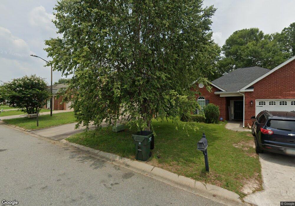
203 Station Way Warner Robins, GA 31088
Estimated Value: $208,000 - $229,000
3
Beds
2
Baths
1,473
Sq Ft
$147/Sq Ft
Est. Value
About This Home
This home is located at 203 Station Way, Warner Robins, GA 31088 and is currently estimated at $217,254, approximately $147 per square foot. 203 Station Way is a home located in Houston County with nearby schools including Russell Elementary School, Huntington Middle School, and Warner Robins High School.
Ownership History
Date
Name
Owned For
Owner Type
Purchase Details
Closed on
Sep 15, 2008
Sold by
Mls Homes Llc
Bought by
Cramer R Wayne
Current Estimated Value
Home Financials for this Owner
Home Financials are based on the most recent Mortgage that was taken out on this home.
Original Mortgage
$123,300
Outstanding Balance
$81,894
Interest Rate
6.49%
Mortgage Type
Purchase Money Mortgage
Estimated Equity
$135,360
Purchase Details
Closed on
Jul 9, 2007
Sold by
People Community National Bank
Bought by
Mls Homes Llc
Purchase Details
Closed on
Mar 5, 2007
Sold by
Ocala Properties Inc
Bought by
Mls Homes Llc
Home Financials for this Owner
Home Financials are based on the most recent Mortgage that was taken out on this home.
Original Mortgage
$56,000
Interest Rate
6.19%
Mortgage Type
Unknown
Create a Home Valuation Report for This Property
The Home Valuation Report is an in-depth analysis detailing your home's value as well as a comparison with similar homes in the area
Home Values in the Area
Average Home Value in this Area
Purchase History
| Date | Buyer | Sale Price | Title Company |
|---|---|---|---|
| Cramer R Wayne | $137,000 | None Available | |
| Mls Homes Llc | -- | None Available | |
| Mls Homes Llc | $742,000 | None Available |
Source: Public Records
Mortgage History
| Date | Status | Borrower | Loan Amount |
|---|---|---|---|
| Open | Cramer R Wayne | $123,300 | |
| Previous Owner | Mls Homes Llc | $56,000 |
Source: Public Records
Tax History Compared to Growth
Tax History
| Year | Tax Paid | Tax Assessment Tax Assessment Total Assessment is a certain percentage of the fair market value that is determined by local assessors to be the total taxable value of land and additions on the property. | Land | Improvement |
|---|---|---|---|---|
| 2024 | $2,258 | $69,000 | $8,000 | $61,000 |
| 2023 | $2,084 | $63,200 | $8,000 | $55,200 |
| 2022 | $1,213 | $52,760 | $8,000 | $44,760 |
| 2021 | $1,127 | $48,760 | $8,000 | $40,760 |
| 2020 | $1,127 | $48,520 | $8,000 | $40,520 |
| 2019 | $1,127 | $48,520 | $8,000 | $40,520 |
| 2018 | $1,127 | $48,520 | $8,000 | $40,520 |
| 2017 | $1,128 | $48,520 | $8,000 | $40,520 |
| 2016 | $1,130 | $48,520 | $8,000 | $40,520 |
| 2015 | -- | $50,840 | $8,680 | $42,160 |
| 2014 | $545 | $50,840 | $8,680 | $42,160 |
| 2013 | $545 | $54,560 | $12,400 | $42,160 |
Source: Public Records
Map
Nearby Homes
- 104 Crossing Place
- 217 Station Way
- 105 Marvin Blvd
- 266 Southland Station Dr
- 705 Tallulah Trail
- 452 Tallulah Trail
- 101 Leisure Lake Ct
- 103 Leisure Lake Ct
- 105 Leisure Lake Ct
- 362 Tallulah Trail
- 236 Tallulah Trail
- 238 Tallulah Trail
- 124 Stonehedge Dr
- 122 Tallulah Trail
- 141 Stoneridge Dr
- 102 Tallulah Trail
- 140 Stoneridge Dr
- 100 Stoneridge Dr
- 0 S Kimberly Rd
- 202 Lake Front Dr
- 201 Station Way
- 205 Station Way
- 207 Station Way
- 105 Station Way
- 207 Station Way
- 103 Station Way
- 202 Station Way
- 200 Station Way
- 204 Station Way
- 206 Station Way
- 211 Station Way
- 101 Station Way
- 100 Station Way
- 208 Station Way
- 102 Crossing Place
- 0 Southland Station Dr
- 0 Southland Station Dr
- 105 Crossing Place
- 210 Station Way
- 212 Station Way