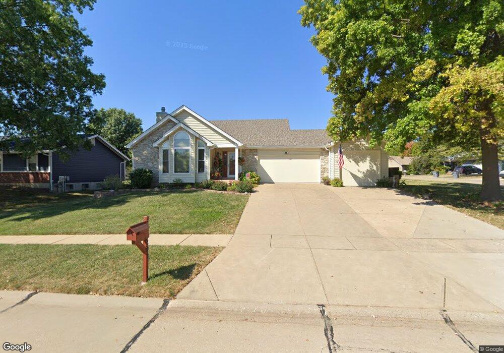
203 Surrey Ct O Fallon, MO 63366
Estimated Value: $370,000 - $406,000
3
Beds
3
Baths
1,448
Sq Ft
$264/Sq Ft
Est. Value
About This Home
This home is located at 203 Surrey Ct, O Fallon, MO 63366 and is currently estimated at $382,664, approximately $264 per square foot. 203 Surrey Ct is a home located in St. Charles County with nearby schools including Joseph L. Mudd Elementary School, Forest Park Elementary School, and Fort Zumwalt North Middle School.
Ownership History
Date
Name
Owned For
Owner Type
Purchase Details
Closed on
Jul 1, 2013
Sold by
Krutsinger Robert D and Krutsinger Susan M
Bought by
Glasener Jonathan Wayne and Glasener Gail Elizabeth
Current Estimated Value
Home Financials for this Owner
Home Financials are based on the most recent Mortgage that was taken out on this home.
Original Mortgage
$191,468
Outstanding Balance
$139,950
Interest Rate
4.12%
Mortgage Type
FHA
Estimated Equity
$242,714
Purchase Details
Closed on
May 26, 2000
Sold by
Hedge Harold R and Hedge Ruth L
Bought by
Krutsinger Robert D and Krutsinger Susan M
Home Financials for this Owner
Home Financials are based on the most recent Mortgage that was taken out on this home.
Original Mortgage
$120,000
Interest Rate
8.17%
Mortgage Type
Balloon
Create a Home Valuation Report for This Property
The Home Valuation Report is an in-depth analysis detailing your home's value as well as a comparison with similar homes in the area
Home Values in the Area
Average Home Value in this Area
Purchase History
We collect this data history from publicly available records. To have your information removed, we recommend requesting removal directly through your county’s website.
| Date | Buyer | Sale Price | Title Company |
|---|---|---|---|
| Glasener Jonathan Wayne | $195,000 | None Available | |
| Krutsinger Robert D | -- | -- |
Source: Public Records
Mortgage History
We collect this data history from publicly available records. To have your information removed, we recommend requesting removal directly through your county’s website.
| Date | Status | Borrower | Loan Amount |
|---|---|---|---|
| Open | Glasener Jonathan Wayne | $191,468 | |
| Previous Owner | Krutsinger Robert D | $120,000 |
Source: Public Records
Tax History
| Year | Tax Paid | Tax Assessment Tax Assessment Total Assessment is a certain percentage of the fair market value that is determined by local assessors to be the total taxable value of land and additions on the property. | Land | Improvement |
|---|---|---|---|---|
| 2025 | $3,647 | $60,527 | -- | -- |
| 2023 | $3,648 | $55,082 | -- | -- |
| 2022 | $3,388 | $47,578 | $0 | $0 |
| 2021 | $3,390 | $47,578 | $0 | $0 |
| 2020 | $3,291 | $44,745 | $0 | $0 |
| 2019 | $3,298 | $44,745 | $0 | $0 |
| 2018 | $2,954 | $38,228 | $0 | $0 |
| 2017 | $2,915 | $38,228 | $0 | $0 |
| 2016 | $2,700 | $35,272 | $0 | $0 |
| 2015 | $2,511 | $35,272 | $0 | $0 |
| 2014 | $2,326 | $32,136 | $0 | $0 |
Source: Public Records
Map
Nearby Homes
- 328 Bristol Place
- 539 Galway Dr Unit 6B
- 415 Montbrook Dr
- 727 Cordes St
- 0 Montbrook Dr
- 714 Cordes St
- 232 Sunset Villa Cir
- 2 Poe Ct
- 807 Elaine Dr
- 50 Chip Dr
- 710 Longfellow Cir
- 105 Saint Margaret Ln
- 512 Sonderen St
- 413 Prince David Dr
- 902 Jacobs Ln
- 202 Cypress Ct
- 1128 Patsy Ln
- 886 Sherwood Forest Ct
- 906 Daffodil Ridge Dr
- 846 Molloy Dr
- 207 Surrey Ct
- 228 Westridge Dr
- 232 Westridge Dr
- 210 Westridge Dr
- 206 Surrey Ct
- 221 Westridge Dr
- 217 Westridge Dr
- 225 Westridge Dr
- 210 Surrey Ct
- 229 Westridge Dr
- 213 Westridge Dr
- 236 Westridge Dr
- 305 Bristol Place
- 301 Bristol Place
- 233 Westridge Dr
- 214 Surrey Ct
- 203 Birmingham Dr
- 209 Westridge Dr
- 207 Birmingham Dr
- 237 Westridge Dr
Your Personal Tour Guide
Ask me questions while you tour the home.