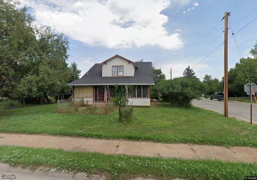
203 W 10th St Sheridan, WY 82801
Estimated Value: $388,000 - $459,000
5
Beds
2
Baths
2,151
Sq Ft
$198/Sq Ft
Est. Value
About This Home
This home is located at 203 W 10th St, Sheridan, WY 82801 and is currently estimated at $426,076, approximately $198 per square foot. 203 W 10th St is a home with nearby schools including Sheridan High School, Holy Name Catholic School, and Martin Luther Grammar School.
Ownership History
Date
Name
Owned For
Owner Type
Purchase Details
Closed on
Dec 14, 2007
Sold by
Roush Sondra
Bought by
Roush Luke
Current Estimated Value
Home Financials for this Owner
Home Financials are based on the most recent Mortgage that was taken out on this home.
Original Mortgage
$237,500
Outstanding Balance
$150,268
Interest Rate
6.38%
Mortgage Type
New Conventional
Estimated Equity
$275,808
Purchase Details
Closed on
Oct 30, 2007
Sold by
Naler Noreen
Bought by
Roush Luke and Roush Sondra
Home Financials for this Owner
Home Financials are based on the most recent Mortgage that was taken out on this home.
Original Mortgage
$237,500
Outstanding Balance
$150,268
Interest Rate
6.38%
Mortgage Type
New Conventional
Estimated Equity
$275,808
Create a Home Valuation Report for This Property
The Home Valuation Report is an in-depth analysis detailing your home's value as well as a comparison with similar homes in the area
Home Values in the Area
Average Home Value in this Area
Purchase History
| Date | Buyer | Sale Price | Title Company |
|---|---|---|---|
| Roush Luke | -- | None Available | |
| Roush Luke | -- | None Available |
Source: Public Records
Mortgage History
| Date | Status | Borrower | Loan Amount |
|---|---|---|---|
| Open | Roush Luke | $237,500 |
Source: Public Records
Tax History Compared to Growth
Tax History
| Year | Tax Paid | Tax Assessment Tax Assessment Total Assessment is a certain percentage of the fair market value that is determined by local assessors to be the total taxable value of land and additions on the property. | Land | Improvement |
|---|---|---|---|---|
| 2025 | $2,635 | $28,694 | $9,930 | $18,764 |
| 2024 | $2,635 | $36,851 | $12,730 | $24,121 |
| 2023 | $2,580 | $36,090 | $12,369 | $23,721 |
| 2022 | $2,268 | $31,723 | $10,473 | $21,250 |
| 2021 | $1,882 | $26,328 | $7,956 | $18,372 |
| 2020 | $1,742 | $24,359 | $7,289 | $17,070 |
| 2019 | $1,597 | $22,329 | $6,189 | $16,140 |
| 2018 | $1,524 | $21,311 | $5,885 | $15,426 |
| 2017 | $1,477 | $20,660 | $5,885 | $14,775 |
| 2015 | $1,367 | $19,113 | $4,460 | $14,653 |
| 2014 | $1,345 | $18,812 | $4,460 | $14,352 |
| 2013 | -- | $18,037 | $4,445 | $13,592 |
Source: Public Records
Map
Nearby Homes
- 426 W 11th St
- 1405 Ridgeway Ave
- 430 W 11th St
- 1436 N Gould St
- 1441 Dana Ave
- 1349 Dana Ave
- 505 W 8th St
- 1507 Omarr Ave
- 216 W 7th St
- 1430 Omarr Ave
- 1147 N Gould St
- 1030 N Main St Unit 110
- 1805 Kennedy St
- 1606 Omarr Ave
- 1904 Val Vista St
- 148 W 5th St
- 945 Bellevue Ave
- 1613 Taylor Ave
- 1629 Taylor Ave
- 904 N Sheridan Ave
- 1401 Spaulding St
- 229 W 10th St
- 1374 Spaulding St
- 1442 Spaulding St
- 1417 Spaulding St
- 1427 Spaulding St
- 1375 Spaulding St
- 1364 Spaulding St
- 235 W 10th St
- 1445 Spaulding St
- 1357 Spaulding St
- 1456 Spaulding St
- 1342 Spaulding St
- 1455 Spaulding St
- 236 W 10th St
- 1355 Spaulding St
- 1345 Spaulding St
- 1338 Spaulding St
- 271 W 10th St
- 1410 Val Vista St