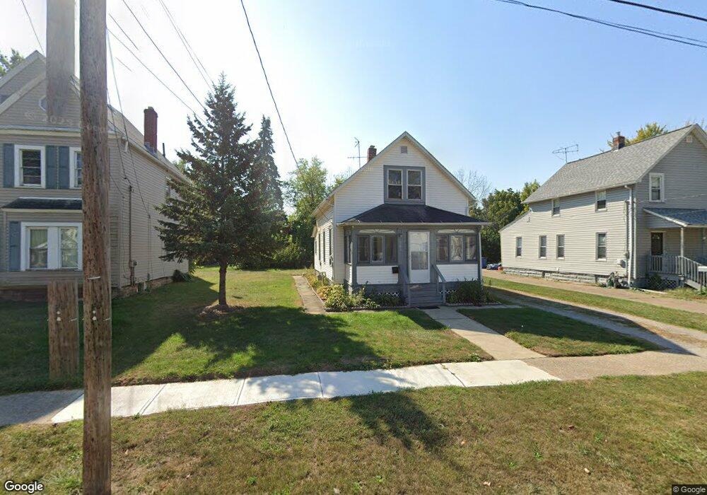
203 W 29th St Lorain, OH 44055
Estimated Value: $72,000 - $106,000
3
Beds
1
Bath
1,373
Sq Ft
$65/Sq Ft
Est. Value
About This Home
This home is located at 203 W 29th St, Lorain, OH 44055 and is currently estimated at $89,346, approximately $65 per square foot. 203 W 29th St is a home located in Lorain County with nearby schools including Garfield Elementary School, Southview Middle School, and Lorain High School.
Ownership History
Date
Name
Owned For
Owner Type
Purchase Details
Closed on
Sep 18, 2008
Sold by
Fannie Mae
Bought by
Asm Investments Llc
Current Estimated Value
Purchase Details
Closed on
Jun 20, 2008
Sold by
Duff Michelle and Chase Home Finance Llc
Bought by
Federal National Mortgage Association
Purchase Details
Closed on
Aug 9, 2004
Sold by
Grob Edward A
Bought by
Duff Michelle C
Home Financials for this Owner
Home Financials are based on the most recent Mortgage that was taken out on this home.
Original Mortgage
$58,000
Interest Rate
6.34%
Mortgage Type
Purchase Money Mortgage
Create a Home Valuation Report for This Property
The Home Valuation Report is an in-depth analysis detailing your home's value as well as a comparison with similar homes in the area
Home Values in the Area
Average Home Value in this Area
Purchase History
| Date | Buyer | Sale Price | Title Company |
|---|---|---|---|
| Asm Investments Llc | $6,500 | Accutitle Agency Inc | |
| Federal National Mortgage Association | $28,000 | None Available | |
| Duff Michelle C | $58,000 | Sandstone Title Agency Ltd |
Source: Public Records
Mortgage History
| Date | Status | Borrower | Loan Amount |
|---|---|---|---|
| Previous Owner | Duff Michelle C | $58,000 |
Source: Public Records
Tax History
| Year | Tax Paid | Tax Assessment Tax Assessment Total Assessment is a certain percentage of the fair market value that is determined by local assessors to be the total taxable value of land and additions on the property. | Land | Improvement |
|---|---|---|---|---|
| 2024 | $1,047 | $24,784 | $3,591 | $21,193 |
| 2023 | $1,072 | $20,290 | $2,926 | $17,364 |
| 2022 | $1,063 | $20,290 | $2,926 | $17,364 |
| 2021 | $1,063 | $20,290 | $2,930 | $17,360 |
| 2020 | $1,082 | $17,940 | $2,590 | $15,350 |
| 2019 | $1,076 | $17,940 | $2,590 | $15,350 |
| 2018 | $1,076 | $17,940 | $2,590 | $15,350 |
| 2017 | $620 | $9,750 | $3,400 | $6,350 |
| 2016 | $616 | $9,750 | $3,400 | $6,350 |
| 2015 | $582 | $9,750 | $3,400 | $6,350 |
| 2014 | $537 | $9,020 | $3,140 | $5,880 |
| 2013 | $533 | $9,020 | $3,140 | $5,880 |
Source: Public Records
Map
Nearby Homes
- V/L Broadway Ave
- 319 W 27th St
- 112 W 25th St
- 2910 Caroline Ave
- 3177 Elyria Ave
- 3011 Caroline Ave
- 2349 Kelly Place
- 2334 Apple Ave
- 2909 Denver Ave
- 510 E 25th St
- 125 W 35th St
- 502 W 23rd St
- 824 Highland Park Blvd
- 2027 Lexington Ave
- 507 W 20th St
- 3116 Chris Ave
- 0 Canton Ave
- 807 W 21st St
- 230 W 39th St
- V/L E 22nd St
Your Personal Tour Guide
Ask me questions while you tour the home.