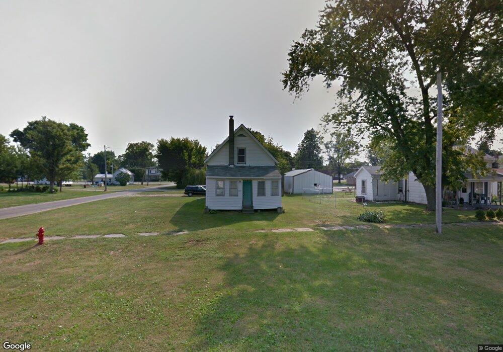
203 West St Unit A Maquon, IL 61458
Estimated Value: $61,000 - $112,000
--
Bed
--
Bath
1,296
Sq Ft
$59/Sq Ft
Est. Value
About This Home
This home is located at 203 West St Unit A, Maquon, IL 61458 and is currently estimated at $76,608, approximately $59 per square foot. 203 West St Unit A is a home located in Knox County with nearby schools including Spoon River Valley Elementary School, Spoon River Valley Junior High School, and Spoon River Valley Senior High School.
Ownership History
Date
Name
Owned For
Owner Type
Purchase Details
Closed on
Jun 21, 2024
Sold by
Real Betty L K Estate Trust
Bought by
Hogue Raymond V
Current Estimated Value
Home Financials for this Owner
Home Financials are based on the most recent Mortgage that was taken out on this home.
Original Mortgage
$62,000
Outstanding Balance
$59,685
Interest Rate
0.75%
Mortgage Type
VA
Estimated Equity
$16,923
Create a Home Valuation Report for This Property
The Home Valuation Report is an in-depth analysis detailing your home's value as well as a comparison with similar homes in the area
Home Values in the Area
Average Home Value in this Area
Purchase History
| Date | Buyer | Sale Price | Title Company |
|---|---|---|---|
| Hogue Raymond V | $62,000 | Western Illinois Title |
Source: Public Records
Mortgage History
| Date | Status | Borrower | Loan Amount |
|---|---|---|---|
| Open | Hogue Raymond V | $62,000 | |
| Closed | Hogue Raymond V | $2,480 |
Source: Public Records
Tax History Compared to Growth
Tax History
| Year | Tax Paid | Tax Assessment Tax Assessment Total Assessment is a certain percentage of the fair market value that is determined by local assessors to be the total taxable value of land and additions on the property. | Land | Improvement |
|---|---|---|---|---|
| 2024 | $357 | $20,030 | $1,750 | $18,280 |
| 2023 | $357 | $18,080 | $1,580 | $16,500 |
| 2022 | $1,059 | $17,090 | $1,490 | $15,600 |
| 2021 | $1,062 | $17,090 | $1,490 | $15,600 |
| 2020 | $1,043 | $16,600 | $1,450 | $15,150 |
| 2019 | $1,050 | $16,600 | $1,450 | $15,150 |
| 2018 | $1,009 | $16,120 | $1,410 | $14,710 |
| 2017 | $2,144 | $21,130 | $1,410 | $19,720 |
| 2015 | -- | $20,920 | $1,400 | $19,520 |
| 2013 | $12 | $20,310 | $1,360 | $18,950 |
Source: Public Records
Map
Nearby Homes
- 348 Knox Road 1600 E
- 000 E 1200 Rd
- 1868 Cemetery St
- 480 3rd St
- 757 Knox Road 1025 E
- 13603 Illinois 116
- 729 Knox Highway 18
- 199 Knox Road 800 E
- 210 N Kent St
- 201 N 1st
- 302 E Ames St
- 1254 Steakhouse Rd
- 698 Eiker Dr
- 1072 Joni Dr
- 107 Oakview Dr
- 973 Knox Road 1330n Rd
- 1841 Knox Road 1400 N
- 0000 E 1450e Rd
- 1841 Knox 1400n
- 0000 Knox Rd