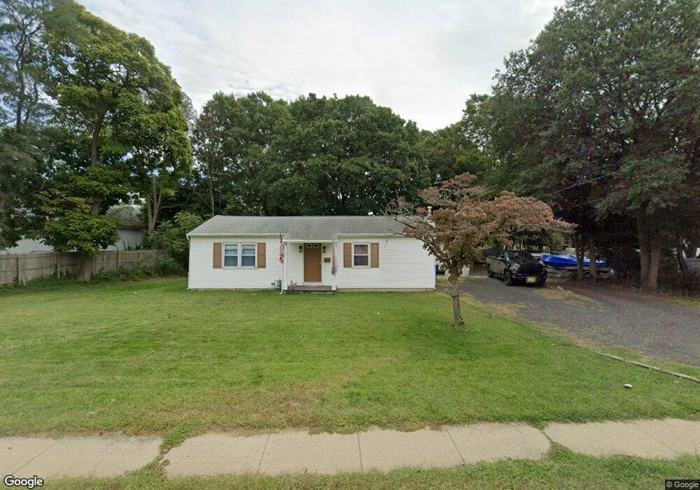
203 Wilson Ave Port Monmouth, NJ 07758
New Monmouth NeighborhoodEstimated Value: $352,000 - $526,000
2
Beds
1
Bath
920
Sq Ft
$473/Sq Ft
Est. Value
About This Home
This home is located at 203 Wilson Ave, Port Monmouth, NJ 07758 and is currently estimated at $434,950, approximately $472 per square foot. 203 Wilson Ave is a home located in Monmouth County with nearby schools including New Monmouth Elementary School, Thorne Middle School, and Middletown High School North.
Ownership History
Date
Name
Owned For
Owner Type
Purchase Details
Closed on
Mar 31, 2006
Sold by
Walsh Timothy M
Bought by
Spinelli Phillip J
Current Estimated Value
Home Financials for this Owner
Home Financials are based on the most recent Mortgage that was taken out on this home.
Original Mortgage
$113,500
Interest Rate
6%
Mortgage Type
Purchase Money Mortgage
Create a Home Valuation Report for This Property
The Home Valuation Report is an in-depth analysis detailing your home's value as well as a comparison with similar homes in the area
Home Values in the Area
Average Home Value in this Area
Purchase History
| Date | Buyer | Sale Price | Title Company |
|---|---|---|---|
| Spinelli Phillip J | $143,500 | -- |
Source: Public Records
Mortgage History
| Date | Status | Borrower | Loan Amount |
|---|---|---|---|
| Closed | Spinelli Phillip J | $113,500 |
Source: Public Records
Tax History Compared to Growth
Tax History
| Year | Tax Paid | Tax Assessment Tax Assessment Total Assessment is a certain percentage of the fair market value that is determined by local assessors to be the total taxable value of land and additions on the property. | Land | Improvement |
|---|---|---|---|---|
| 2025 | $4,573 | $291,500 | $198,300 | $93,200 |
| 2024 | $4,534 | $278,000 | $186,600 | $91,400 |
| 2023 | $4,534 | $260,900 | $186,600 | $74,300 |
| 2022 | $3,399 | $186,100 | $143,600 | $42,500 |
| 2021 | $3,399 | $163,400 | $125,600 | $37,800 |
| 2020 | $3,387 | $158,400 | $125,600 | $32,800 |
| 2019 | $3,341 | $158,200 | $125,600 | $32,600 |
| 2018 | $3,396 | $156,700 | $125,600 | $31,100 |
| 2017 | $3,408 | $155,700 | $125,600 | $30,100 |
| 2016 | $3,299 | $154,800 | $125,600 | $29,200 |
| 2015 | $3,405 | $154,300 | $125,600 | $28,700 |
| 2014 | $3,510 | $155,100 | $125,600 | $29,500 |
Source: Public Records
Map
Nearby Homes
- 210 Main St
- 19 Walada Ave
- 9 Brentwood Terrace
- 230 Main St
- 637 Bray Ave
- 619 Dogwood Terrace
- 251 Main St Unit AH
- 624 Hudson Ave
- 28 W Park Ave
- 147 Church St
- 635 Hudson Ave
- 0 Delaware Ave Unit 22526302
- 2 Lydia Place
- 78 Wilson Ave
- 79 Compton St Unit A & B
- 92 Compton St
- 0 S End Ave Unit 22420779
- 422 Maple Dr
- 854 Main St
- 0 Clinton St Unit 22238196
- 416 New Jersey 36
- 204 Wilson Ave
- 198 Wilson Ave
- 409 New Jersey 36
- 193 Wilson Ave
- 405 State Route 36
- 405 New Jersey 36
- 191 Wilson Ave
- 4 Willow St
- 398 State Route 36
- 2 Willow St
- 6 Willow St
- 10 Chestnut St
- 7 Chestnut St
- 10 Willow St
- 192 Wilson Ave
- 8 Willow St
- 394 State Route 36
- 12 Chestnut St
- 175 Wilson Ave