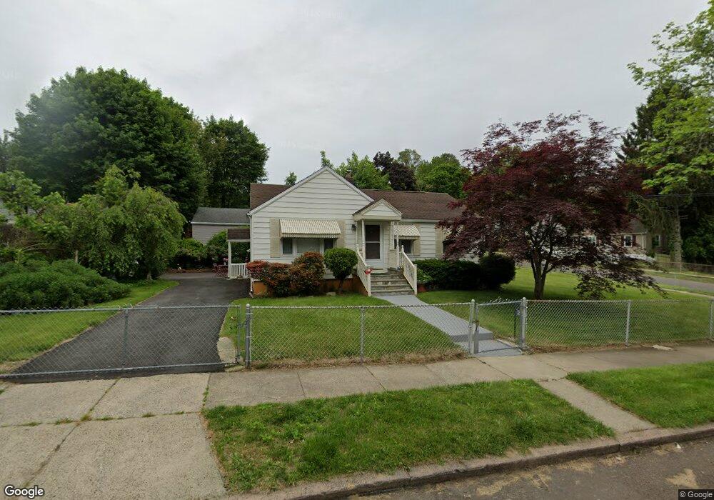
203 Winslow Dr West Haven, CT 06516
West Shore NeighborhoodEstimated Value: $317,000 - $406,000
2
Beds
1
Bath
964
Sq Ft
$373/Sq Ft
Est. Value
About This Home
This home is located at 203 Winslow Dr, West Haven, CT 06516 and is currently estimated at $359,727, approximately $373 per square foot. 203 Winslow Dr is a home located in New Haven County with nearby schools including Carrigan 5/6 Intermediate School, Harry M. Bailey Middle School, and West Haven High School.
Ownership History
Date
Name
Owned For
Owner Type
Purchase Details
Closed on
Sep 24, 2001
Sold by
Keegan Edward T and Donath Patricia A
Bought by
Morales Aida
Current Estimated Value
Home Financials for this Owner
Home Financials are based on the most recent Mortgage that was taken out on this home.
Original Mortgage
$155,000
Outstanding Balance
$60,398
Interest Rate
6.98%
Mortgage Type
Purchase Money Mortgage
Estimated Equity
$299,329
Create a Home Valuation Report for This Property
The Home Valuation Report is an in-depth analysis detailing your home's value as well as a comparison with similar homes in the area
Home Values in the Area
Average Home Value in this Area
Purchase History
| Date | Buyer | Sale Price | Title Company |
|---|---|---|---|
| Morales Aida | $160,000 | -- | |
| Morales Aida | $160,000 | -- |
Source: Public Records
Mortgage History
| Date | Status | Borrower | Loan Amount |
|---|---|---|---|
| Open | Morales Aida | $155,000 | |
| Closed | Morales Aida | $155,000 |
Source: Public Records
Tax History Compared to Growth
Tax History
| Year | Tax Paid | Tax Assessment Tax Assessment Total Assessment is a certain percentage of the fair market value that is determined by local assessors to be the total taxable value of land and additions on the property. | Land | Improvement |
|---|---|---|---|---|
| 2025 | $6,505 | $197,890 | $88,060 | $109,830 |
| 2024 | $5,658 | $120,750 | $60,970 | $59,780 |
| 2023 | $5,446 | $120,750 | $60,970 | $59,780 |
| 2022 | $5,348 | $120,750 | $60,970 | $59,780 |
| 2021 | $5,348 | $120,750 | $60,970 | $59,780 |
| 2020 | $5,376 | $110,600 | $56,140 | $54,460 |
| 2019 | $5,205 | $110,600 | $56,140 | $54,460 |
| 2018 | $5,131 | $110,600 | $56,140 | $54,460 |
| 2017 | $4,992 | $110,600 | $56,140 | $54,460 |
| 2016 | $4,937 | $110,600 | $56,140 | $54,460 |
| 2015 | $4,796 | $120,260 | $60,270 | $59,990 |
| 2014 | $4,796 | $120,260 | $60,270 | $59,990 |
Source: Public Records
Map
Nearby Homes
- 101 Pauline Ave
- 102 Woodmont Rd
- 96 Woodmont Rd
- 97 Pauline Ave
- 208 Winslow Dr
- 214 Winslow Dr
- 189 Winslow Dr
- 92 Woodmont Rd
- 204 Winslow Dr
- 100 Pauline Ave
- 93 Pauline Ave
- 96 Pauline Ave
- 200 Winslow Dr
- 86 Woodmont Rd
- 80 Pauline Ave
- 192 Winslow Dr
- 183 Winslow Dr
- 87 Pauline Ave
- 109 Woodmont Rd
- 80 Woodmont Rd