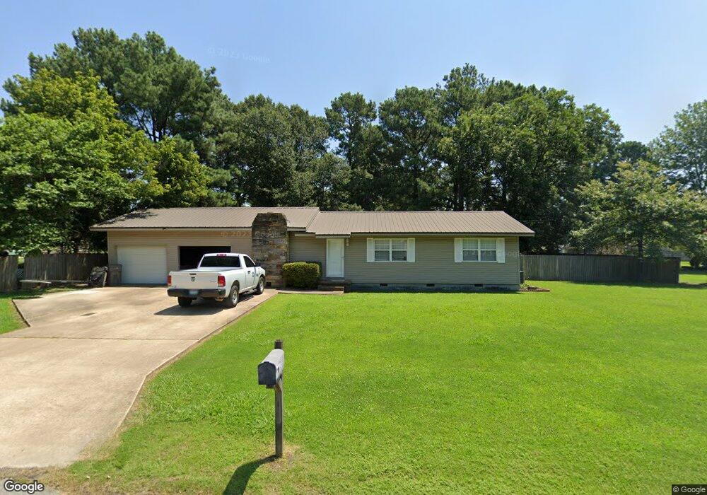
203 Woody Ln Jonesboro, AR 72401
Estimated Value: $121,000 - $232,000
--
Bed
2
Baths
1,752
Sq Ft
$102/Sq Ft
Est. Value
About This Home
This home is located at 203 Woody Ln, Jonesboro, AR 72401 and is currently estimated at $178,050, approximately $101 per square foot. 203 Woody Ln is a home located in Craighead County with nearby schools including Westside Elementary School, Westside Middle School, and Westside High School.
Ownership History
Date
Name
Owned For
Owner Type
Purchase Details
Closed on
Oct 19, 2020
Sold by
Gilliam Chris
Bought by
Orozco Alfred and Orozco Sanjuana
Current Estimated Value
Purchase Details
Closed on
Oct 24, 2006
Sold by
Doyle Christy
Bought by
Doyle Troy D
Home Financials for this Owner
Home Financials are based on the most recent Mortgage that was taken out on this home.
Original Mortgage
$70,500
Interest Rate
6.41%
Mortgage Type
New Conventional
Purchase Details
Closed on
Feb 29, 2000
Bought by
Doyle
Purchase Details
Closed on
Mar 21, 1996
Bought by
Doyle
Create a Home Valuation Report for This Property
The Home Valuation Report is an in-depth analysis detailing your home's value as well as a comparison with similar homes in the area
Home Values in the Area
Average Home Value in this Area
Purchase History
| Date | Buyer | Sale Price | Title Company |
|---|---|---|---|
| Orozco Alfred | $15,000 | None Listed On Document | |
| Doyle Troy D | -- | Lenders Title Company | |
| Doyle | -- | -- | |
| Doyle | -- | -- |
Source: Public Records
Mortgage History
| Date | Status | Borrower | Loan Amount |
|---|---|---|---|
| Previous Owner | Doyle Troy D | $70,500 |
Source: Public Records
Tax History Compared to Growth
Tax History
| Year | Tax Paid | Tax Assessment Tax Assessment Total Assessment is a certain percentage of the fair market value that is determined by local assessors to be the total taxable value of land and additions on the property. | Land | Improvement |
|---|---|---|---|---|
| 2025 | $1,075 | $30,843 | $2,000 | $28,843 |
| 2024 | $1,075 | $30,843 | $2,000 | $28,843 |
| 2023 | $580 | $30,843 | $2,000 | $28,843 |
| 2022 | $584 | $30,843 | $2,000 | $28,843 |
| 2021 | $559 | $20,990 | $2,000 | $18,990 |
| 2020 | $559 | $20,990 | $2,000 | $18,990 |
| 2019 | $559 | $20,990 | $2,000 | $18,990 |
| 2018 | $584 | $20,990 | $2,000 | $18,990 |
| 2017 | $563 | $20,990 | $2,000 | $18,990 |
| 2016 | $519 | $19,520 | $2,000 | $17,520 |
| 2015 | $869 | $19,520 | $2,000 | $17,520 |
| 2014 | $519 | $19,520 | $2,000 | $17,520 |
Source: Public Records
Map
Nearby Homes
- 219 Maurita St
- 20 Acres Parker Rd and I-555
- 727 Cr 311
- 67.78 acres Cr 114
- 279 County Road 342
- 1 County Road 342
- 945 County Road 111
- 2713 W Matthews Ave
- 14 County Road 346
- 2617 W Matthews Ave
- 581 County Road 130
- 1284 County Road 114
- 919 Congress Cir
- 913 Congress Cir
- 1 County Road 348
- 1 Strawfloor Dr
- 18.62 acres Strawfloor Dr
- 0 Strawfloor Dr
- 3-Acres Damron Dr
- 23 Winchester Dr