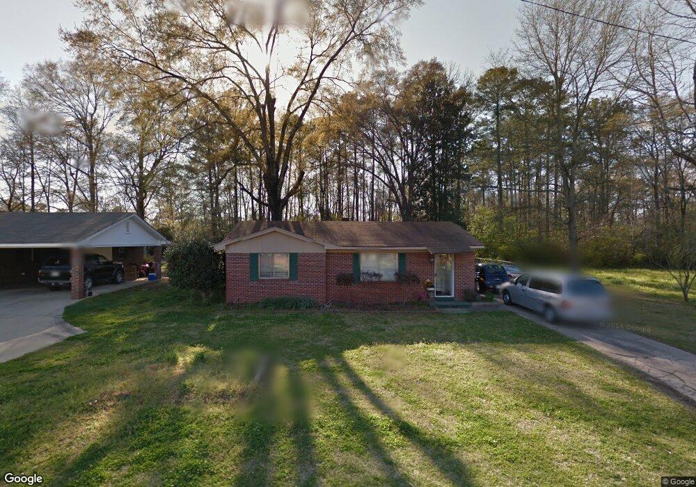
2030 20th St Calera, AL 35040
Estimated Value: $162,011 - $183,000
--
Bed
--
Bath
1,186
Sq Ft
$145/Sq Ft
Est. Value
About This Home
This home is located at 2030 20th St, Calera, AL 35040 and is currently estimated at $172,253, approximately $145 per square foot. 2030 20th St is a home located in Shelby County with nearby schools including Calera Intermediate School, Calera Elementary School, and Calera Middle School.
Ownership History
Date
Name
Owned For
Owner Type
Purchase Details
Closed on
Aug 23, 2019
Sold by
Stringfield Alma
Bought by
Murphy Brian and Murphy Peytonne
Current Estimated Value
Home Financials for this Owner
Home Financials are based on the most recent Mortgage that was taken out on this home.
Original Mortgage
$115,000
Outstanding Balance
$75,863
Interest Rate
3.7%
Mortgage Type
VA
Estimated Equity
$96,390
Purchase Details
Closed on
May 12, 2003
Sold by
Killingsworth Peggie
Bought by
Stringfield Alma
Home Financials for this Owner
Home Financials are based on the most recent Mortgage that was taken out on this home.
Original Mortgage
$82,000
Interest Rate
6.05%
Mortgage Type
Seller Take Back
Create a Home Valuation Report for This Property
The Home Valuation Report is an in-depth analysis detailing your home's value as well as a comparison with similar homes in the area
Home Values in the Area
Average Home Value in this Area
Purchase History
| Date | Buyer | Sale Price | Title Company |
|---|---|---|---|
| Murphy Brian | $115,000 | None Available | |
| Stringfield Alma | $82,000 | -- |
Source: Public Records
Mortgage History
| Date | Status | Borrower | Loan Amount |
|---|---|---|---|
| Open | Murphy Brian | $115,000 | |
| Previous Owner | Stringfield Alma | $82,000 |
Source: Public Records
Tax History Compared to Growth
Tax History
| Year | Tax Paid | Tax Assessment Tax Assessment Total Assessment is a certain percentage of the fair market value that is determined by local assessors to be the total taxable value of land and additions on the property. | Land | Improvement |
|---|---|---|---|---|
| 2024 | $836 | $15,480 | $0 | $0 |
| 2023 | $696 | $13,640 | $0 | $0 |
| 2022 | $626 | $12,360 | $0 | $0 |
| 2021 | $531 | $10,600 | $0 | $0 |
| 2020 | $516 | $10,320 | $0 | $0 |
| 2019 | $815 | $15,100 | $0 | $0 |
| 2017 | $733 | $13,580 | $0 | $0 |
| 2015 | $719 | $13,320 | $0 | $0 |
| 2014 | $706 | $13,080 | $0 | $0 |
Source: Public Records
Map
Nearby Homes
- 1893 Deborah Dr
- 0 17th St Unit 3 21431348
- 0 16th St Unit 12 21431329
- 0 16th St Unit 11 21431327
- 0 16th St Unit 13 21431330
- 971 18th St
- 2401 16th St
- 983 Meriweather Dr
- 0 19th St Unit 5 21431344
- 11 and 12 19th St Unit 11 & 12
- 518 19th St Unit 7
- 7484 U S Highway 31
- 000 Highway 31
- 0 Alabama 25
- 0 14th St Unit 11 21431318
- 0 14th St Unit 13 21431346
- 0 14th St Unit 13 21431332
- 0 14th St Unit Various 21431353
- 0 14th St Unit 15 21431339
- 0 14th St Unit 13 21431319
- 2050 20th St
- 2074 20th St
- 2021 20th St
- 2040 21st Ave
- 2045 20th St
- 4249 20th St Unit 1
- 2010 20th St Unit 1
- 0 20th St Unit 1 & 2 Farris Sub (11
- 0 20th St Unit 1 21383905
- 0 20th St Unit 1 1351809
- 0 20th St Unit 9 1345271
- 13,14 20th St Unit 13,14
- 0 20th St Unit 1 1340863
- 0 20th St Unit 1 and 1A together (1
- 0 20th St Unit 1,2,3,6,7,9,10,11,12
- 2050 21st Ave
- 2071 20th St
- 1881 20th St
- 2011 20th St
- 2041 21st Ave