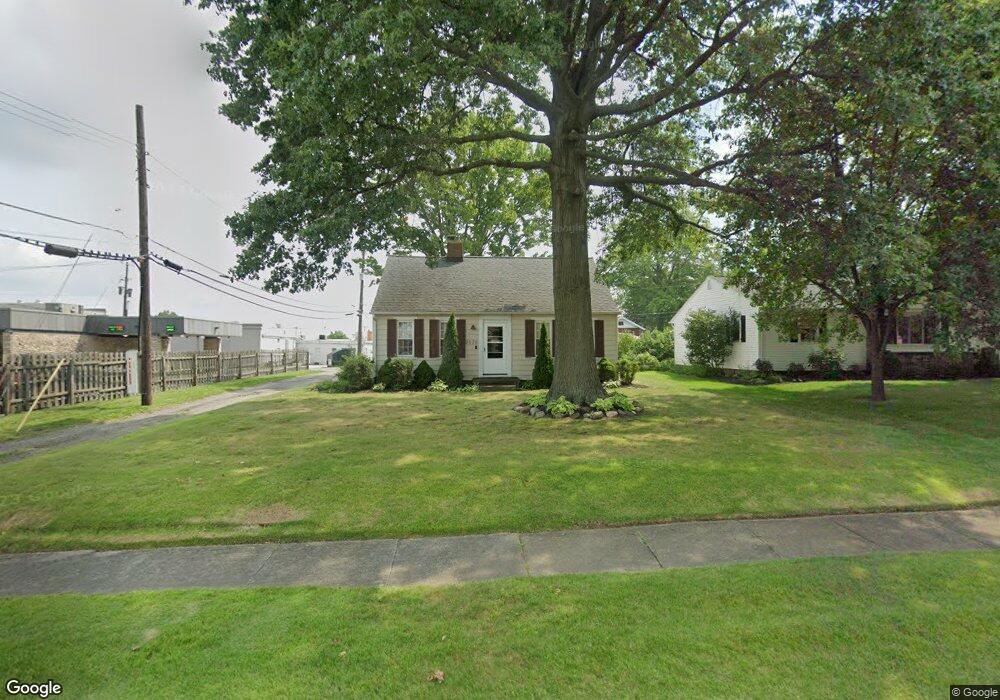
2030 Belleflower Dr Alliance, OH 44601
Estimated Value: $143,000 - $165,000
2
Beds
1
Bath
1,344
Sq Ft
$112/Sq Ft
Est. Value
About This Home
This home is located at 2030 Belleflower Dr, Alliance, OH 44601 and is currently estimated at $150,887, approximately $112 per square foot. 2030 Belleflower Dr is a home located in Stark County with nearby schools including Alliance Elementary School at Rockhill, Alliance Intermediate School at Northside, and Alliance Middle School.
Ownership History
Date
Name
Owned For
Owner Type
Purchase Details
Closed on
Dec 28, 2004
Sold by
Mastroianni Gerard and Mastroianni Todd
Bought by
Crestview Ventures Ltd
Current Estimated Value
Purchase Details
Closed on
Feb 18, 2004
Sold by
Estate Of Joseph A Mastroianni
Bought by
Mastroianni Gerard and Mastroianni Todd
Purchase Details
Closed on
Oct 6, 1993
Create a Home Valuation Report for This Property
The Home Valuation Report is an in-depth analysis detailing your home's value as well as a comparison with similar homes in the area
Home Values in the Area
Average Home Value in this Area
Purchase History
| Date | Buyer | Sale Price | Title Company |
|---|---|---|---|
| Crestview Ventures Ltd | -- | -- | |
| Crestview Ventures Ltd | -- | -- | |
| Mastroianni Gerard | -- | -- | |
| -- | $50,000 | -- |
Source: Public Records
Tax History Compared to Growth
Tax History
| Year | Tax Paid | Tax Assessment Tax Assessment Total Assessment is a certain percentage of the fair market value that is determined by local assessors to be the total taxable value of land and additions on the property. | Land | Improvement |
|---|---|---|---|---|
| 2025 | -- | $38,220 | $12,110 | $26,110 |
| 2024 | -- | $38,220 | $12,110 | $26,110 |
| 2023 | $1,383 | $33,610 | $9,420 | $24,190 |
| 2022 | $1,393 | $33,610 | $9,420 | $24,190 |
| 2021 | $1,396 | $33,610 | $9,420 | $24,190 |
| 2020 | $1,280 | $28,770 | $8,190 | $20,580 |
| 2019 | $1,262 | $28,770 | $8,190 | $20,580 |
| 2018 | $1,268 | $28,770 | $8,190 | $20,580 |
| 2017 | $1,169 | $26,050 | $7,560 | $18,490 |
| 2016 | $1,011 | $22,340 | $7,560 | $14,780 |
| 2015 | $1,020 | $22,340 | $7,560 | $14,780 |
| 2014 | $977 | $20,380 | $6,900 | $13,480 |
| 2013 | $488 | $20,380 | $6,900 | $13,480 |
Source: Public Records
Map
Nearby Homes
- 884 W College Rd
- 1515 S Rockhill Ave
- 2705 Shunk Ave
- 2372 S Union Ave
- 2405 Cherry Ave
- 112 E College St
- 2839 S Rockhill Ave
- 1321 Parkway Blvd
- 1059 Oakwood Dr
- 549 Linwood Dr
- 1475 Chatauqua Ct
- 317 E State St
- 1136 Parkway Blvd
- 2112 Blenheim Ave
- 236 E Milton St
- 2195 Blenheim Ave
- 2460 S Arch Ave
- 390 E College St
- 3101 Ridgehill Ave
- 2408 S Linden Ave
- 2040 Belleflower Dr
- 0 Belleflower Dr Unit 3072247
- 2031 Shunk Ave
- 2100 Belleflower Dr
- 614 W State St
- 2029 Belleflower Dr
- 2043 Belleflower Dr
- 2107 Shunk Ave
- 2122 Belleflower Dr
- 2109 Belleflower Dr
- 2121 Shunk Ave
- 2130 Belleflower Dr
- 2121 Belleflower Dr
- 2028 Shunk Ave
- 2036 Shunk Ave
- 2135 Shunk Ave
- 2044 Ridgewood Ave
- 2044 Shunk Ave
- 2135 Belleflower Dr
- 670 W State St