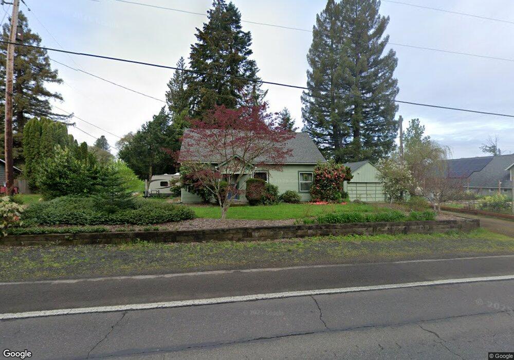
2030 Crocker Ln NW Albany, OR 97321
North Albany NeighborhoodEstimated Value: $384,000 - $504,000
4
Beds
2
Baths
1,960
Sq Ft
$222/Sq Ft
Est. Value
About This Home
This home is located at 2030 Crocker Ln NW, Albany, OR 97321 and is currently estimated at $435,701, approximately $222 per square foot. 2030 Crocker Ln NW is a home located in Benton County with nearby schools including Oak Grove Intermediate School, Fir Grove Primary School, and North Albany Middle School.
Ownership History
Date
Name
Owned For
Owner Type
Purchase Details
Closed on
Dec 26, 2012
Sold by
Leung Wai Po and Leung Sue Ling
Bought by
Sublett Gavin R and Sublett Jan H
Current Estimated Value
Purchase Details
Closed on
Apr 13, 2009
Sold by
Leung Wai Po and Leung Sue Ling
Bought by
Leung Wai Po and Leung Sue Ling
Purchase Details
Closed on
Apr 8, 2009
Sold by
The Bank Of New York
Bought by
Leung Wai Po and Leung Sue Ling
Purchase Details
Closed on
Dec 1, 2008
Sold by
Wulk William S and Wulk Leeoma D
Bought by
The Bank Of New York
Purchase Details
Closed on
Feb 21, 2002
Sold by
Gannon Gary W and Gannon Cleta K
Bought by
Wulk William S and Wulk Leeoma D
Home Financials for this Owner
Home Financials are based on the most recent Mortgage that was taken out on this home.
Original Mortgage
$111,600
Interest Rate
8.75%
Create a Home Valuation Report for This Property
The Home Valuation Report is an in-depth analysis detailing your home's value as well as a comparison with similar homes in the area
Home Values in the Area
Average Home Value in this Area
Purchase History
| Date | Buyer | Sale Price | Title Company |
|---|---|---|---|
| Sublett Gavin R | -- | None Available | |
| Leung Wai Po | -- | First American | |
| Leung Wai Po | $105,000 | First American Title | |
| The Bank Of New York | $120,700 | Fidelity National Title | |
| Wulk William S | $139,500 | Oregon Title Insurance Co |
Source: Public Records
Mortgage History
| Date | Status | Borrower | Loan Amount |
|---|---|---|---|
| Previous Owner | Wulk William S | $111,600 | |
| Closed | Wulk William S | $27,900 |
Source: Public Records
Tax History Compared to Growth
Tax History
| Year | Tax Paid | Tax Assessment Tax Assessment Total Assessment is a certain percentage of the fair market value that is determined by local assessors to be the total taxable value of land and additions on the property. | Land | Improvement |
|---|---|---|---|---|
| 2024 | $3,243 | $172,369 | -- | -- |
| 2023 | $3,057 | $167,349 | $0 | $0 |
| 2022 | $3,011 | $162,475 | $0 | $0 |
| 2021 | $2,851 | $157,743 | $0 | $0 |
| 2020 | $2,886 | $153,149 | $0 | $0 |
| 2019 | $2,723 | $148,688 | $0 | $0 |
| 2018 | $2,681 | $144,357 | $0 | $0 |
| 2017 | $2,573 | $140,152 | $0 | $0 |
| 2016 | $2,265 | $134,280 | $0 | $0 |
| 2015 | $2,179 | $127,610 | $0 | $0 |
| 2014 | $2,338 | $136,070 | $0 | $0 |
| 2012 | -- | $117,110 | $0 | $0 |
Source: Public Records
Map
Nearby Homes
- 2310 Gale St NW
- 1709 NW Fisher Loop
- 2511 Robinhood Ln NW
- 2421 NW Broadway St
- 1500 NW North Heights Dr
- 1889 NW Sunny Ln
- 2872 23rd Ave NW
- 2558 NW White Oak Ave
- 2890 23rd Ave NW
- 2643 NW Brianna St
- 2641 Crocker Ln NW
- 1435 NW Ashley Dr
- Unassigned Chad (3307) Ave NW
- 1591 Kallie Place NW
- 2347 Laura Vista Dr NW
- 2359 Laura Vista Dr NW
- 2780 NW Orchard Heights Ave
- (Lot#3) NW Maier Ln
- 000 NW Maier Ln
- 1450 N Albany Rd NW
- 1960 Crocker Ln NW
- 2066 Crocker Ln NW
- 1948 Crocker Ln NW
- 2048 Crocker Ln NW
- 2045 Crocker Ln NW
- 2096 Crocker Ln NW
- 2013 Crocker Ln NW
- 2132 Crocker Ln NW
- 1932 Crocker Ln NW
- 2119 Crocker Ln NW
- 2115 NW 20th Loop
- 2029 NW 20th Loop
- 2121 Crocker Ln NW
- 2455 Dover Ln NW
- 2033 Crocker Ln NW
- 2021 Crocker Ln NW
- 1890 Crocker Ln NW
- 2021 NW 20th Loop
- 2093 Crocker Ln NW
- 2145 Crocker Ln NW