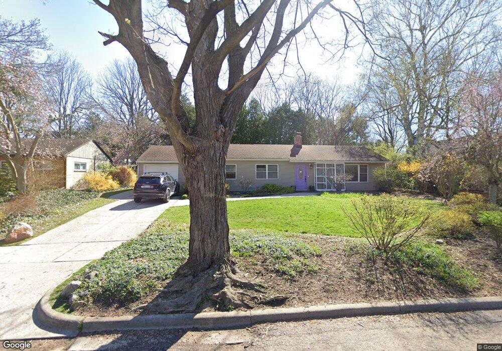
2030 Delafield Dr Ann Arbor, MI 48105
Northern Ann Arbor NeighborhoodEstimated Value: $406,000 - $503,000
4
Beds
2
Baths
1,544
Sq Ft
$293/Sq Ft
Est. Value
About This Home
This home is located at 2030 Delafield Dr, Ann Arbor, MI 48105 and is currently estimated at $452,750, approximately $293 per square foot. 2030 Delafield Dr is a home located in Washtenaw County with nearby schools including Ann Arbor STEAM at Northside, Clague Middle School, and Skyline High School.
Ownership History
Date
Name
Owned For
Owner Type
Purchase Details
Closed on
Jun 15, 2007
Sold by
Warren Donald W and Warren Judy L
Bought by
Fitzgerald Sean S and Fitzgerald Angela S
Current Estimated Value
Home Financials for this Owner
Home Financials are based on the most recent Mortgage that was taken out on this home.
Original Mortgage
$138,400
Outstanding Balance
$84,732
Interest Rate
6.2%
Mortgage Type
Unknown
Estimated Equity
$368,018
Purchase Details
Closed on
Jul 18, 2005
Sold by
Warren Donald E and Warren Mary
Bought by
Warren Donald E
Create a Home Valuation Report for This Property
The Home Valuation Report is an in-depth analysis detailing your home's value as well as a comparison with similar homes in the area
Home Values in the Area
Average Home Value in this Area
Purchase History
| Date | Buyer | Sale Price | Title Company |
|---|---|---|---|
| Fitzgerald Sean S | $173,000 | None Available | |
| Warren Donald E | -- | -- |
Source: Public Records
Mortgage History
| Date | Status | Borrower | Loan Amount |
|---|---|---|---|
| Open | Fitzgerald Sean S | $138,400 |
Source: Public Records
Tax History
| Year | Tax Paid | Tax Assessment Tax Assessment Total Assessment is a certain percentage of the fair market value that is determined by local assessors to be the total taxable value of land and additions on the property. | Land | Improvement |
|---|---|---|---|---|
| 2025 | $5,567 | $205,100 | $0 | $0 |
| 2024 | $5,567 | $202,500 | $0 | $0 |
| 2023 | $4,780 | $182,400 | $0 | $0 |
| 2022 | $5,209 | $174,100 | $0 | $0 |
| 2021 | $5,086 | $166,200 | $0 | $0 |
| 2020 | $4,984 | $168,600 | $0 | $0 |
| 2019 | $4,743 | $143,900 | $143,900 | $0 |
| 2018 | $4,676 | $132,400 | $0 | $0 |
| 2017 | $4,549 | $129,200 | $0 | $0 |
| 2016 | $3,875 | $90,964 | $0 | $0 |
| 2015 | $4,179 | $90,692 | $0 | $0 |
| 2014 | $4,179 | $87,859 | $0 | $0 |
| 2013 | -- | $87,859 | $0 | $0 |
Source: Public Records
Map
Nearby Homes
- 374 Hilldale Dr
- 352 Manor Dr
- 502 Larkspur St
- 1713 Pontiac Trail
- 1621 Peach St
- 704 Amherst Ave
- 2757 Polson St
- 2793 Bristol Ridge Dr Unit 45
- 2783 Bristol Ridge Dr Unit 40
- 2778 Bristol Ridge Dr Unit 38
- 2887 Dillon Dr
- 2776 Bristol Ridge Dr Unit 37
- 2772 Bristol Ridge Dr Unit 35
- 2774 Bristol Ridge Dr Unit 36
- 2981 Havre St
- 2768 S Knightsbridge Cir
- 2994 Montana Way
- 2738 S Knightsbridge Cir
- 1132 Longshore Dr Unit 2
- 1124 Longshore Dr Unit 1
- 2036 Delafield Dr
- 0 Delafield Dr
- 2022 Delafield Dr
- 2042 Delafield Dr
- 475 Hilldale Dr
- 2037 Delafield Dr
- 2021 Pontiac Trail
- 2016 Delafield Dr
- 2043 Delafield Dr
- 704 Brookside Dr
- 476 Hilldale Dr
- 2045 Pontiac Trail
- 2009 Pontiac Trail
- 448 Brookside Dr
- 2011 Delafield Dr
- 467 Hilldale Dr
- 438 Brookside Dr
- 721 Northside Ave
- 2001 Pontiac Trail
- 701 Brookside Dr
Your Personal Tour Guide
Ask me questions while you tour the home.