2030 High Dr Estes Park, CO 80517
Estimated Value: $450,816 - $645,000
2
Beds
1
Bath
864
Sq Ft
$639/Sq Ft
Est. Value
About This Home
This home is located at 2030 High Dr, Estes Park, CO 80517 and is currently estimated at $552,204, approximately $639 per square foot. 2030 High Dr is a home located in Larimer County with nearby schools including Estes Park K-5 School, Estes Park Middle School, and Estes Park High School.
Ownership History
Date
Name
Owned For
Owner Type
Purchase Details
Closed on
Mar 6, 2024
Sold by
Siddle Jean A and Jean A Anderson Living Trust
Bought by
Jean A Anderson Living Trust and Oldsons And The Anderson Trust
Current Estimated Value
Purchase Details
Closed on
May 8, 2014
Sold by
Siddle Jean A
Bought by
Siddle Jean A and Jean A Siddle Living Trust
Purchase Details
Closed on
May 16, 1996
Sold by
Mussehl Milton D
Bought by
Mussehl Milton D and Siddle Jean A
Create a Home Valuation Report for This Property
The Home Valuation Report is an in-depth analysis detailing your home's value as well as a comparison with similar homes in the area
Home Values in the Area
Average Home Value in this Area
Purchase History
| Date | Buyer | Sale Price | Title Company |
|---|---|---|---|
| Jean A Anderson Living Trust | -- | None Listed On Document | |
| Siddle Jean A | -- | None Available | |
| Mussehl Milton D | -- | -- |
Source: Public Records
Tax History
| Year | Tax Paid | Tax Assessment Tax Assessment Total Assessment is a certain percentage of the fair market value that is determined by local assessors to be the total taxable value of land and additions on the property. | Land | Improvement |
|---|---|---|---|---|
| 2025 | $2,715 | $32,325 | $26,250 | $6,075 |
| 2024 | $2,453 | $38,425 | $28,140 | $10,285 |
| 2022 | $2,096 | $28,113 | $13,831 | $14,282 |
| 2021 | $2,152 | $28,922 | $14,229 | $14,693 |
| 2020 | $2,027 | $26,849 | $14,229 | $12,620 |
| 2019 | $2,012 | $26,849 | $14,229 | $12,620 |
| 2018 | $1,518 | $19,634 | $13,320 | $6,314 |
| 2017 | $1,527 | $19,634 | $13,320 | $6,314 |
| 2016 | $1,513 | $20,147 | $14,726 | $5,421 |
| 2015 | $1,494 | $20,150 | $14,730 | $5,420 |
| 2014 | $1,459 | $20,230 | $17,910 | $2,320 |
Source: Public Records
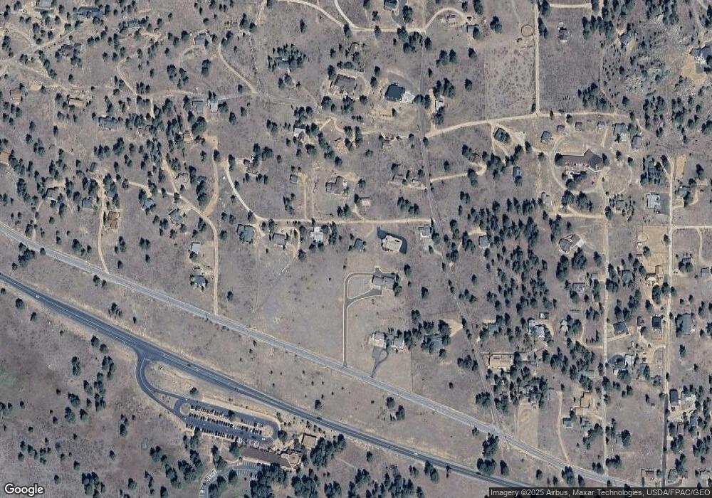
Map
Nearby Homes
- 1945 Tanager Rd
- 710 Tanager Rd
- 725 Upper Larkspur Ln
- 1631 High Dr
- 1611 High Dr
- 1565 Highway 66 Unit 31
- 1565 Highway 66 Unit 33
- 1565 Highway 66 Unit 27
- 1565 Highway 66 Unit 49
- 1565 Highway 66 Unit 30
- 1401 High Dr
- 55 Odin Way
- 56 Odin Way
- 1475 Lower Broadview Rd
- 24 Ln
- 27 Freyja Ln
- 2242 Eagle Cliff Rd
- 0 High Dr Unit IRE1053895
- 1211 Glacier View Ln
- 825 Castle Mountain Rd
- 2041 High Dr
- 2035 Middle High Dr
- 2031 High Dr
- 645 Tanager Rd
- 575 Tanager Rd
- 2061 High Dr
- 2075 Middle High Dr
- 1991 High Dr
- 2050 Penstemon Dr
- 2004 Penstemon Dr
- 685 Tanager Rd
- 2051 High Dr
- 630 Tanager Rd
- 2060 Upper High Dr
- 2130 High Dr
- 2085 Siskin Dr
- 0 Upper High Dr Unit 379874
- 0 Upper High Dr Unit 7847976
- 0 Upper High Dr Unit 905600
- 0 Upper High Dr Unit 770156
Your Personal Tour Guide
Ask me questions while you tour the home.