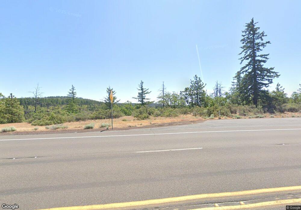
2030 Highway 97 Goldendale, WA 98620
Estimated Value: $181,000 - $332,000
3
Beds
--
Bath
720
Sq Ft
$368/Sq Ft
Est. Value
About This Home
This home is located at 2030 Highway 97, Goldendale, WA 98620 and is currently estimated at $265,168, approximately $368 per square foot. 2030 Highway 97 is a home located in Klickitat County with nearby schools including Goldendale Primary School, Goldendale Middle School, and Goldendale High School.
Ownership History
Date
Name
Owned For
Owner Type
Purchase Details
Closed on
Nov 20, 2020
Sold by
Mickelson Thomas
Bought by
Mickelson Thomas E
Current Estimated Value
Create a Home Valuation Report for This Property
The Home Valuation Report is an in-depth analysis detailing your home's value as well as a comparison with similar homes in the area
Home Values in the Area
Average Home Value in this Area
Purchase History
| Date | Buyer | Sale Price | Title Company |
|---|---|---|---|
| Mickelson Thomas E | -- | None Available |
Source: Public Records
Tax History Compared to Growth
Tax History
| Year | Tax Paid | Tax Assessment Tax Assessment Total Assessment is a certain percentage of the fair market value that is determined by local assessors to be the total taxable value of land and additions on the property. | Land | Improvement |
|---|---|---|---|---|
| 2025 | $1,060 | $113,530 | $56,430 | $57,100 |
| 2023 | $1,060 | $102,240 | $45,140 | $57,100 |
| 2022 | $629 | $60,380 | $37,880 | $22,500 |
| 2021 | $124 | $51,780 | $32,380 | $19,400 |
| 2020 | $133 | $45,180 | $31,680 | $13,500 |
| 2018 | $139 | $46,280 | $31,680 | $14,600 |
| 2017 | $43 | $46,280 | $31,680 | $14,600 |
| 2016 | $46 | $42,480 | $27,880 | $14,600 |
| 2015 | $66 | $48,780 | $27,880 | $20,900 |
| 2013 | $66 | $57,700 | $34,400 | $23,300 |
Source: Public Records
Map
Nearby Homes
- 4 Thompson Trail
- 3 Thompson Trail
- 31 Thompson Trail
- 0 England Dr Unit 455774655
- 304 Toad Rd
- 104 Jenkins Creek Rd
- 1924 Highway 97
- 280 Oak St
- 11 Deer Ridge Rd
- 0 Hope Grove Unit 430872245
- 15 Sutherlain Tr
- 86 Meacham Rd
- 0 Lee Rd
- 000 Lee Rd
- NKA Log Cabin Rd
- 195 Woodland Rd
- 0 Box Canyon Rd Unit 551282407
- 0 Box Canyon Rd Unit NWM2402336
- 505 Woodland Rd
- 44 Justanother Rd
- 2030 Hwy 97
- 9 Coco Ln
- 7 Thompson Trail
- 0 Thompson Trail Unit 8717332
- 0 Thompson Trail Unit 8713941
- 0 Thompson Trail Unit 4 23299968
- 0 Thompson Trail Unit 4 23568772
- 0 Thompson Trail Unit 1 23209834
- 0 Thompson Trail Unit 14574251
- 0 Thompson Trail Unit 21293220
- 0 Thompson Trail Unit 21533069
- 0 Thompson Trail Unit 16 20045110
- 0 Thompson Trail Unit Lot 1 8017315
- 0 Thompson Trail Unit 9059481
- 0 Thompson Trail Unit 9093095
- 0 Thompson Trail Unit Lot 3 11446942
- 0 Thompson Trail Unit 12446782
- 0 Thompson Trail Unit Lot 4 13100647
- 0 Thompson Trail Unit 14610858
