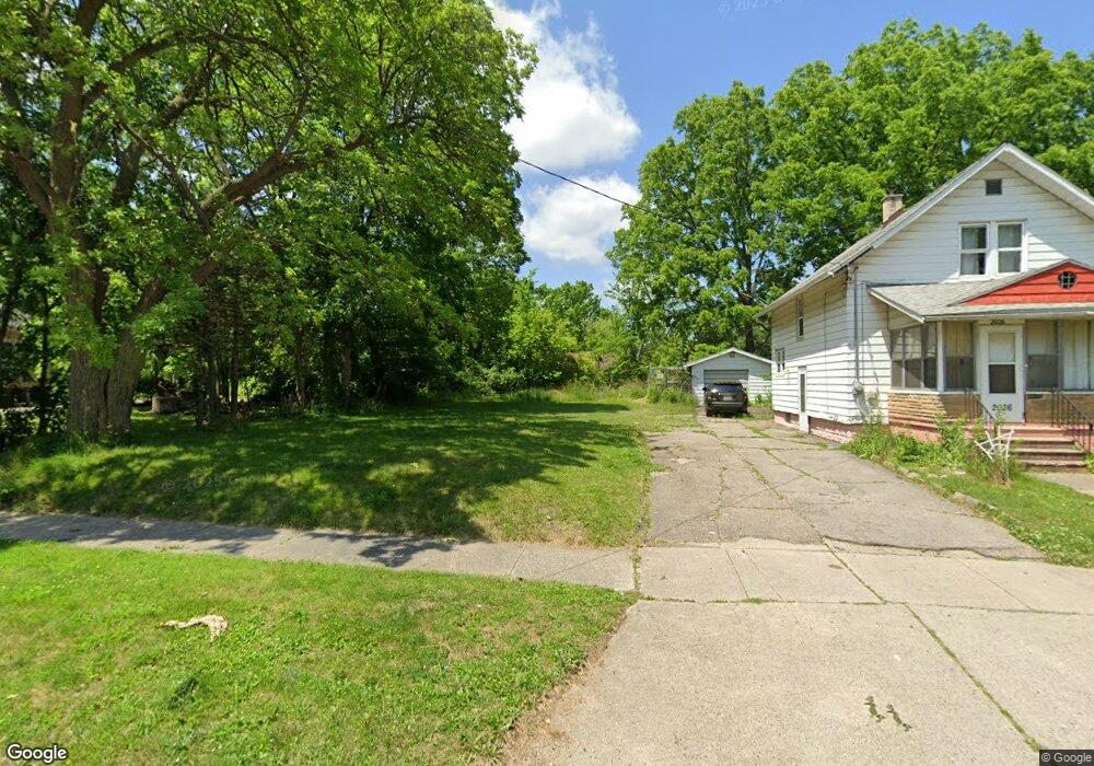
2030 Howard Ave Flint, MI 48503
South Parks NeighborhoodEstimated Value: $29,000 - $373,000
3
Beds
1
Bath
1,320
Sq Ft
$116/Sq Ft
Est. Value
About This Home
This home is located at 2030 Howard Ave, Flint, MI 48503 and is currently estimated at $152,667, approximately $115 per square foot. 2030 Howard Ave is a home located in Genesee County with nearby schools including Freeman Elementary School, Flint Southwestern Classical Academy, and International Academy of Flint (K-12).
Ownership History
Date
Name
Owned For
Owner Type
Purchase Details
Closed on
Aug 13, 2019
Sold by
Vanburen Ollie Mae
Bought by
Clarke Alvin O
Current Estimated Value
Purchase Details
Closed on
Jun 10, 2019
Sold by
Vanburen Burel E
Bought by
Vanburen Ollie M
Purchase Details
Closed on
Mar 7, 2014
Sold by
Genesee County Land Bank Authority
Bought by
Vanburen Burel E and Vanburen Ollie M
Purchase Details
Closed on
Dec 20, 2012
Sold by
Cherry Deborah L
Bought by
Genesee County Land Bank
Purchase Details
Closed on
Feb 25, 2002
Sold by
Carpenter Darlene Olivia and Williams Darlene
Bought by
Williams Kelley Darlene Olivia and Figueroa Marilyn J
Create a Home Valuation Report for This Property
The Home Valuation Report is an in-depth analysis detailing your home's value as well as a comparison with similar homes in the area
Home Values in the Area
Average Home Value in this Area
Purchase History
| Date | Buyer | Sale Price | Title Company |
|---|---|---|---|
| Clarke Alvin O | $200 | None Available | |
| Vanburen Ollie M | -- | None Available | |
| Vanburen Burel E | -- | None Available | |
| Genesee County Land Bank | -- | None Available | |
| Williams Kelley Darlene Olivia | -- | Stewart Title Guaranty Compa |
Source: Public Records
Tax History
| Year | Tax Paid | Tax Assessment Tax Assessment Total Assessment is a certain percentage of the fair market value that is determined by local assessors to be the total taxable value of land and additions on the property. | Land | Improvement |
|---|---|---|---|---|
| 2025 | $177 | $2,600 | $0 | $0 |
| 2024 | $166 | $2,300 | $0 | $0 |
| 2023 | $172 | $1,900 | $0 | $0 |
| 2022 | $0 | $1,500 | $0 | $0 |
| 2021 | $203 | $1,700 | $0 | $0 |
| 2020 | $192 | $1,400 | $0 | $0 |
| 2019 | $150 | $1,300 | $0 | $0 |
| 2018 | $114 | $1,300 | $0 | $0 |
| 2017 | $112 | $0 | $0 | $0 |
| 2016 | $112 | $0 | $0 | $0 |
| 2015 | -- | $0 | $0 | $0 |
| 2014 | -- | $0 | $0 | $0 |
| 2012 | -- | $7,700 | $0 | $0 |
Source: Public Records
Map
Nearby Homes
- 2010 Crocker Ave
- 2029 Winans Ave
- 2050 Ferris Ave
- 2224 Crocker Ave
- 2221 Howard Ave
- 420 Pingree Ave
- 1720 Park St
- 2033 Seymour Ave
- 1701 Park St
- 1851 Seymour Ave
- 149 E Tobias St
- 149 E Linsey Blvd
- 133 E Oakley St
- 1510 S Franklin Ave
- 1840 Mcphail St
- 1814 Mcphail St
- 1930 Owen St
- 9211 Owen St
- 1210 Blanchard Ave
- 915 E 8th St
- 2026 Howard Ave
- 2038 Howard Ave
- 2022 Howard Ave
- 2033 Crocker Ave
- 2025 Crocker Ave
- 2021 Crocker Ave
- 2018 Howard Ave
- 2029 Howard Ave
- 2033 Howard Ave
- 2025 Howard Ave
- 2041 Crocker Ave
- 2045 Crocker Ave
- 2021 Howard Ave
- 2013 Crocker Ave
- 2017 Howard Ave
- 2050 Howard Ave
- 2045 Howard Ave
- 2010 Howard Ave
- 2030 Crocker Ave
- 2013 Howard Ave
Your Personal Tour Guide
Ask me questions while you tour the home.