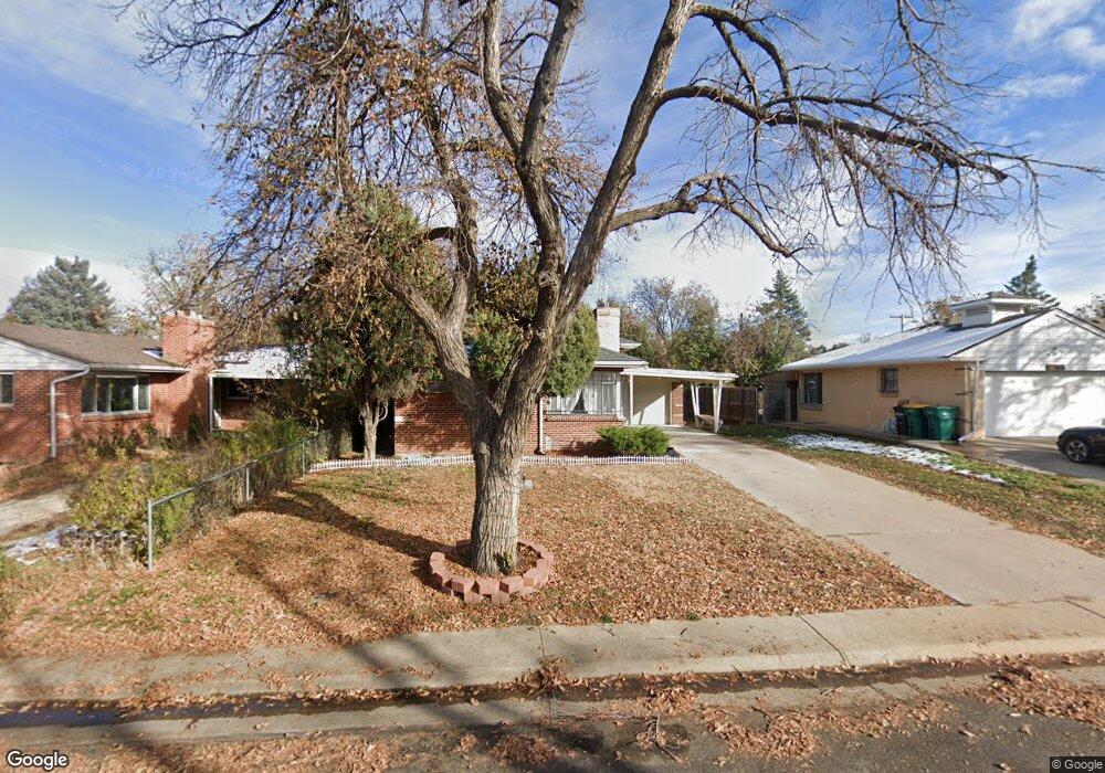
2030 Lansing St Aurora, CO 80010
North Aurora NeighborhoodEstimated Value: $394,023 - $450,000
3
Beds
2
Baths
1,184
Sq Ft
$358/Sq Ft
Est. Value
About This Home
This home is located at 2030 Lansing St, Aurora, CO 80010 and is currently estimated at $423,756, approximately $357 per square foot. 2030 Lansing St is a home located in Adams County with nearby schools including Montview Elementary School, North Middle School Health Sciences & Technology, and Aurora Central High School.
Ownership History
Date
Name
Owned For
Owner Type
Purchase Details
Closed on
May 23, 2014
Sold by
Harris Tami
Bought by
Wing Investments Llc
Current Estimated Value
Home Financials for this Owner
Home Financials are based on the most recent Mortgage that was taken out on this home.
Original Mortgage
$132,000
Outstanding Balance
$100,072
Interest Rate
4.5%
Mortgage Type
Adjustable Rate Mortgage/ARM
Estimated Equity
$323,684
Purchase Details
Closed on
Feb 12, 2003
Sold by
Perkins Tami
Bought by
Harris Tami
Create a Home Valuation Report for This Property
The Home Valuation Report is an in-depth analysis detailing your home's value as well as a comparison with similar homes in the area
Home Values in the Area
Average Home Value in this Area
Purchase History
| Date | Buyer | Sale Price | Title Company |
|---|---|---|---|
| Wing Investments Llc | $165,000 | Fidelity National Title Ins | |
| Harris Tami | -- | -- |
Source: Public Records
Mortgage History
| Date | Status | Borrower | Loan Amount |
|---|---|---|---|
| Open | Wing Investments Llc | $132,000 |
Source: Public Records
Tax History
| Year | Tax Paid | Tax Assessment Tax Assessment Total Assessment is a certain percentage of the fair market value that is determined by local assessors to be the total taxable value of land and additions on the property. | Land | Improvement |
|---|---|---|---|---|
| 2025 | $2,362 | $24,410 | $5,440 | $18,970 |
| 2024 | $2,362 | $22,440 | $5,000 | $17,440 |
| 2023 | $2,400 | $26,250 | $5,210 | $21,040 |
| 2022 | $2,520 | $22,180 | $5,350 | $16,830 |
| 2021 | $2,626 | $22,180 | $5,350 | $16,830 |
| 2020 | $2,751 | $23,310 | $5,510 | $17,800 |
| 2019 | $2,746 | $23,310 | $5,510 | $17,800 |
| 2018 | $2,239 | $18,930 | $4,320 | $14,610 |
| 2017 | $1,989 | $18,930 | $4,320 | $14,610 |
| 2016 | $1,420 | $13,400 | $2,390 | $11,010 |
| 2015 | $1,375 | $13,400 | $2,390 | $11,010 |
| 2014 | $1,372 | $13,160 | $2,390 | $10,770 |
Source: Public Records
Map
Nearby Homes
- 2045 Lima St
- 11087 Montview Blvd
- 2209 Macon St
- 1942 Kenton St
- 1902 Kenton St
- 1990 Newark St
- 1945 Nome St
- 1764 Newark St
- 1741 Joliet St
- 1703 Kenton St
- 2025 Ironton St
- 1657 Kingston St
- 2241 Ironton St
- 2300 Ironton St
- 1745 Jamaica St
- 1781 N Oakland St
- 2521 Moline St
- 1680 Newark St
- 2522 Moline St
- 2381 Nome St
- 2040 Lansing St
- 2020 Lansing St
- 2050 Lansing St
- 2035 Lima St
- 2025 Lima St
- 2060 Lansing St
- 2045 N Lima St
- 2015 Lima St
- 2025 Lansing St
- 2055 Lima St
- 2041 Lansing St
- 11211 Montview Blvd
- 11221 Montview Blvd
- 2051 Lansing St
- 11251 Montview Blvd
- 2070 Lansing St
- 2065 Lima St
- 11111 Montview Blvd
- 2061 Lansing St
- 11281 Montview Blvd
Your Personal Tour Guide
Ask me questions while you tour the home.