2030 Laurel Oak Dr Unit 249 Howell, MI 48855
Estimated Value: $368,598 - $435,000
--
Bed
1
Bath
1,574
Sq Ft
$247/Sq Ft
Est. Value
About This Home
This home is located at 2030 Laurel Oak Dr Unit 249, Howell, MI 48855 and is currently estimated at $389,150, approximately $247 per square foot. 2030 Laurel Oak Dr Unit 249 is a home located in Livingston County with nearby schools including Ruahmah J. Hutchings Elementary, Parker Middle School, and Howell High School.
Ownership History
Date
Name
Owned For
Owner Type
Purchase Details
Closed on
Oct 17, 2000
Sold by
Foxfire Homes Inc
Bought by
Bluntzer Matthew C
Current Estimated Value
Purchase Details
Closed on
Oct 14, 2000
Sold by
Sypniewski John P and Sypniewski Cynthia L
Bought by
Foxfire Homes Inc
Purchase Details
Closed on
Jan 20, 2000
Sold by
Ronald R Godair Builder Inc
Bought by
Sypniewski John P and Sypniewski Cynthia L
Purchase Details
Closed on
Dec 31, 1999
Sold by
M & 59 Inc
Bought by
Ronald R Godair Builder Inc
Create a Home Valuation Report for This Property
The Home Valuation Report is an in-depth analysis detailing your home's value as well as a comparison with similar homes in the area
Home Values in the Area
Average Home Value in this Area
Purchase History
| Date | Buyer | Sale Price | Title Company |
|---|---|---|---|
| Bluntzer Matthew C | $219,900 | Select Title Company | |
| Foxfire Homes Inc | -- | Select Title Company | |
| Sypniewski John P | $50,000 | Landmark Title Services | |
| Ronald R Godair Builder Inc | $38,000 | -- |
Source: Public Records
Tax History Compared to Growth
Tax History
| Year | Tax Paid | Tax Assessment Tax Assessment Total Assessment is a certain percentage of the fair market value that is determined by local assessors to be the total taxable value of land and additions on the property. | Land | Improvement |
|---|---|---|---|---|
| 2025 | $1,523 | $165,300 | $0 | $0 |
| 2024 | $1,479 | $161,200 | $0 | $0 |
| 2023 | $1,413 | $144,700 | $0 | $0 |
| 2022 | $1,980 | $122,200 | $0 | $0 |
| 2021 | $1,980 | $126,500 | $0 | $0 |
| 2020 | $1,980 | $122,200 | $0 | $0 |
| 2019 | $1,952 | $111,800 | $0 | $0 |
| 2018 | $1,928 | $102,300 | $0 | $0 |
| 2017 | $1,903 | $99,100 | $0 | $0 |
| 2016 | $1,892 | $95,200 | $0 | $0 |
| 2014 | $2,104 | $80,400 | $0 | $0 |
| 2012 | $2,104 | $74,200 | $0 | $0 |
Source: Public Records
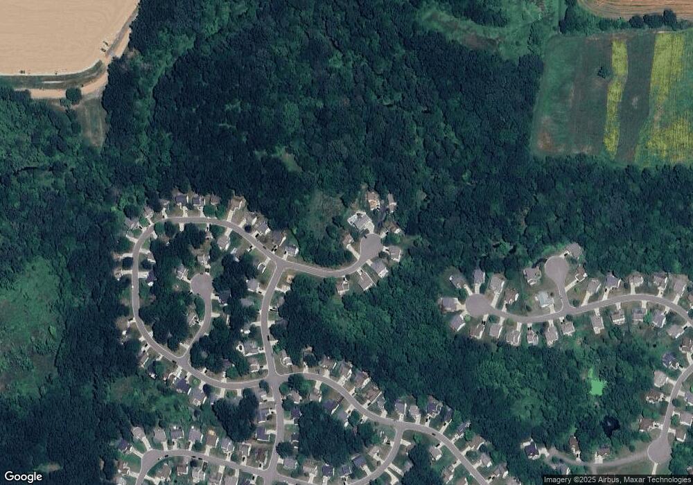
Map
Nearby Homes
- 2511 Kerria Dr Unit 42
- 1570 Princewood Blvd
- 2495 Moore Place
- 1633 Frech Ln
- 1400 Oakcrest Rd
- 3040 Bogues View Dr
- 559 Cannonade Loop
- 475 Cannonade Loop
- The Austin Plan at Broadmoor
- The Charlotte Plan at Broadmoor
- The Harrison Plan at Broadmoor
- The Bloomington Plan at Broadmoor
- The Columbia Plan at Broadmoor
- 2932 Bogue Creek Dr
- 571 Cannonade Loop
- 523 Cannonade Loop
- 583 Cannonade Loop
- VACANT LOT Thompson Shore Dr
- 2500 Fisher Rd
- 3290 Fisher Rd
- 2016 Laurel Oak Dr Unit 248
- 2033 Laurel Oak Dr Unit 243
- 2041 Laurel Oak Dr Unit 242
- 2049 Laurel Oak Dr
- 2017 Laurel Oak Dr Unit 245
- 2025 Laurel Oak Dr Unit 244
- 2078 Laurel Oak Dr
- 2000 Laurel Oak Dr
- 2086 Laurel Oak Dr Unit 276
- 2094 Laurel Oak Dr
- 2085 Laurel Oak Dr
- 1888 Hickory Hills Blvd Unit 300
- 2102 Laurel Oak Dr Unit 278
- 1891 Hickory Hills Blvd Unit 252
- 1874 Hickory Hills Blvd Unit 299
- 2091 Laurel Oak Dr Unit 275
- 1856 Hickory Hills Blvd
- 2505 Birchwood Dr Unit 209
- 2500 Birchwood Dr Unit 210
- 2373 Laurel Oak Dr