2030 Longbranch Rd Eagle Point, OR 97524
Estimated Value: $966,000 - $1,052,000
4
Beds
3
Baths
2,984
Sq Ft
$333/Sq Ft
Est. Value
About This Home
This home is located at 2030 Longbranch Rd, Eagle Point, OR 97524 and is currently estimated at $994,304, approximately $333 per square foot. 2030 Longbranch Rd is a home located in Jackson County with nearby schools including Shady Cove School, Eagle Point Middle School, and White Mountain Middle School.
Ownership History
Date
Name
Owned For
Owner Type
Purchase Details
Closed on
Aug 27, 2025
Sold by
Jeffrey T Preece Revocable Trust and Preece Rob S
Bought by
Brown Bill Lee and Brown Sharon Darlene
Current Estimated Value
Purchase Details
Closed on
Jul 31, 2023
Sold by
Roden Louis and Huntington Julie E
Bought by
Preece Jeffrey T
Purchase Details
Closed on
Mar 12, 2004
Sold by
Kercher Wesley J
Bought by
Roden Louis and Huntington Julie E
Purchase Details
Closed on
Jan 11, 2001
Sold by
Kercher Wesley J
Bought by
Roden Lou and Roden Julie
Home Financials for this Owner
Home Financials are based on the most recent Mortgage that was taken out on this home.
Original Mortgage
$135,000
Interest Rate
7.65%
Mortgage Type
Seller Take Back
Create a Home Valuation Report for This Property
The Home Valuation Report is an in-depth analysis detailing your home's value as well as a comparison with similar homes in the area
Purchase History
| Date | Buyer | Sale Price | Title Company |
|---|---|---|---|
| Brown Bill Lee | $1,000,000 | Ticor Title | |
| Jeffrey T Preece Revocable Trust | -- | Ticor Title | |
| Preece Jeffrey T | $1,450,000 | Ticor Title | |
| Roden Louis | $185,000 | -- | |
| Roden Lou | $135,000 | -- |
Source: Public Records
Mortgage History
| Date | Status | Borrower | Loan Amount |
|---|---|---|---|
| Previous Owner | Roden Lou | $135,000 |
Source: Public Records
Tax History
| Year | Tax Paid | Tax Assessment Tax Assessment Total Assessment is a certain percentage of the fair market value that is determined by local assessors to be the total taxable value of land and additions on the property. | Land | Improvement |
|---|---|---|---|---|
| 2026 | $4,507 | $333,261 | -- | -- |
| 2025 | $4,365 | $370,644 | $50,514 | $320,130 |
| 2024 | $4,365 | $359,970 | $49,160 | $310,810 |
| 2023 | $4,246 | $349,610 | $47,850 | $301,760 |
| 2022 | $4,067 | $349,610 | $47,850 | $301,760 |
| 2021 | $3,946 | $339,553 | $46,573 | $292,980 |
| 2020 | $4,248 | $329,789 | $45,329 | $284,460 |
| 2019 | $4,178 | $311,100 | $42,960 | $268,140 |
| 2018 | $4,076 | $302,165 | $41,825 | $260,340 |
| 2017 | $3,761 | $302,165 | $41,825 | $260,340 |
| 2016 | $3,634 | $285,053 | $39,663 | $245,390 |
| 2015 | $3,506 | $285,053 | $39,663 | $245,390 |
| 2014 | -- | $268,932 | $37,622 | $231,310 |
Source: Public Records
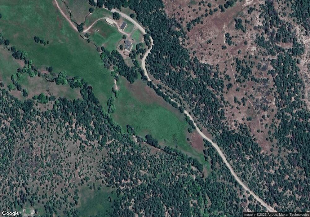
Map
Nearby Homes
- 5845 Rhodes Ln
- 218 Long Branch Rd
- 363 Kitty Dr
- 104 Hart Cir
- 536 Rogue Air Dr
- 461 Sawyer Rd
- 7266 Rogue River Dr
- 330 Penny Ln
- 78 Maple Dr
- 0 Cabetowne Way Unit 220200666
- 120 Birch St
- 176 Cindy Way
- 20455 Highway 62
- 209 White Oak Way
- 20055 Highway 62 Unit 1
- 20055 Highway 62 Unit 49
- 22071 Highway 62 Unit 54
- 551 Hudspeth Ln
- 20140 Highway 62
- 22071 Oregon 62 Unit 36
- 2030 Long Branch Rd
- 5865 Rhodes Ln
- 5855 Rogue River Dr
- 5885 Rhodes Ln
- 5850 Rhodes Ln
- 977 Longbranch Rd
- 977 Long Branch Rd
- 5867 Rhodes Ln
- 0 Rhodes Ln
- 5861 Rhodes Ln
- 5873 Rogue River Dr
- 5889 Rogue River Dr
- 2320 Longbranch Rd
- 2358 Long Branch Rd
- 2320 Long Branch Rd
- 975 Longbranch Rd
- 5835 Rogue River Dr
- 960 Long Branch Rd
- 950 Longbranch Rd
- 5939 Rogue River Dr
Your Personal Tour Guide
Ask me questions while you tour the home.