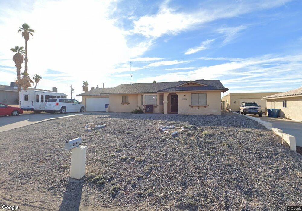
2030 Pima Dr N Lake Havasu City, AZ 86403
Estimated Value: $348,506
5
Beds
3
Baths
2,080
Sq Ft
$168/Sq Ft
Est. Value
About This Home
This home is located at 2030 Pima Dr N, Lake Havasu City, AZ 86403 and is currently estimated at $348,506, approximately $167 per square foot. 2030 Pima Dr N is a home located in Mohave County with nearby schools including Smoketree Elementary School, Thunderbolt Middle School, and Lake Havasu High School.
Ownership History
Date
Name
Owned For
Owner Type
Purchase Details
Closed on
Feb 19, 2003
Sold by
Wainscott Robert E and Wainscott Rose M
Bought by
Galst Foundation Lake Havasu Retarded & and Retarded Galst Foundation
Current Estimated Value
Home Financials for this Owner
Home Financials are based on the most recent Mortgage that was taken out on this home.
Original Mortgage
$80,500
Outstanding Balance
$34,224
Interest Rate
5.85%
Mortgage Type
Purchase Money Mortgage
Estimated Equity
$314,282
Purchase Details
Closed on
Nov 21, 2002
Sold by
Wainscott Robert E and Wainscott Rose M
Bought by
Wainscott Robert E and Wainscott Rose M
Create a Home Valuation Report for This Property
The Home Valuation Report is an in-depth analysis detailing your home's value as well as a comparison with similar homes in the area
Home Values in the Area
Average Home Value in this Area
Purchase History
| Date | Buyer | Sale Price | Title Company |
|---|---|---|---|
| Galst Foundation Lake Havasu Retarded & | $115,000 | First American Title Ins Co | |
| Wainscott Robert E | -- | -- |
Source: Public Records
Mortgage History
| Date | Status | Borrower | Loan Amount |
|---|---|---|---|
| Open | Galst Foundation Lake Havasu Retarded & | $80,500 |
Source: Public Records
Tax History Compared to Growth
Tax History
| Year | Tax Paid | Tax Assessment Tax Assessment Total Assessment is a certain percentage of the fair market value that is determined by local assessors to be the total taxable value of land and additions on the property. | Land | Improvement |
|---|---|---|---|---|
| 2026 | $134 | -- | -- | -- |
| 2025 | $134 | $69,267 | $0 | $0 |
| 2024 | $0 | $82,822 | $0 | $0 |
| 2023 | $0 | $61,794 | $0 | $0 |
| 2022 | $134 | $42,507 | $0 | $0 |
| 2021 | $134 | $24,596 | $0 | $0 |
| 2019 | $134 | $22,702 | $0 | $0 |
| 2018 | $134 | $20,252 | $0 | $0 |
| 2017 | $134 | $20,410 | $0 | $0 |
| 2016 | $134 | $17,825 | $0 | $0 |
| 2015 | $134 | $18,684 | $0 | $0 |
Source: Public Records
Map
Nearby Homes
- 2030 Mimosa Dr
- 2067 Palo Verde Blvd S
- 2075 Palo Verde Blvd S
- 1957 Mesquite Ave Unit 23B
- 1989 Mesquite Ave Unit 74
- 1989 Mesquite Ave Unit 32
- 1989 Mesquite Ave Unit 17
- 1989 Mesquite Ave Unit 46
- 273 Acoma Blvd N
- 2085 Mesquite Ave Unit 64
- 2085 Mesquite Ave Unit 61
- 2094 Mesquite Ave Unit 123
- 2094 Mesquite Ave Unit 113
- 2094 Mesquite Ave Unit 126
- 0000 Sunrise Plan On Your Lot
- 1792 On Your Level
- 155 El Rio Dr
- 1700 On Your Level Lot
- 260 Lava Ln
- 836 Isola Bella