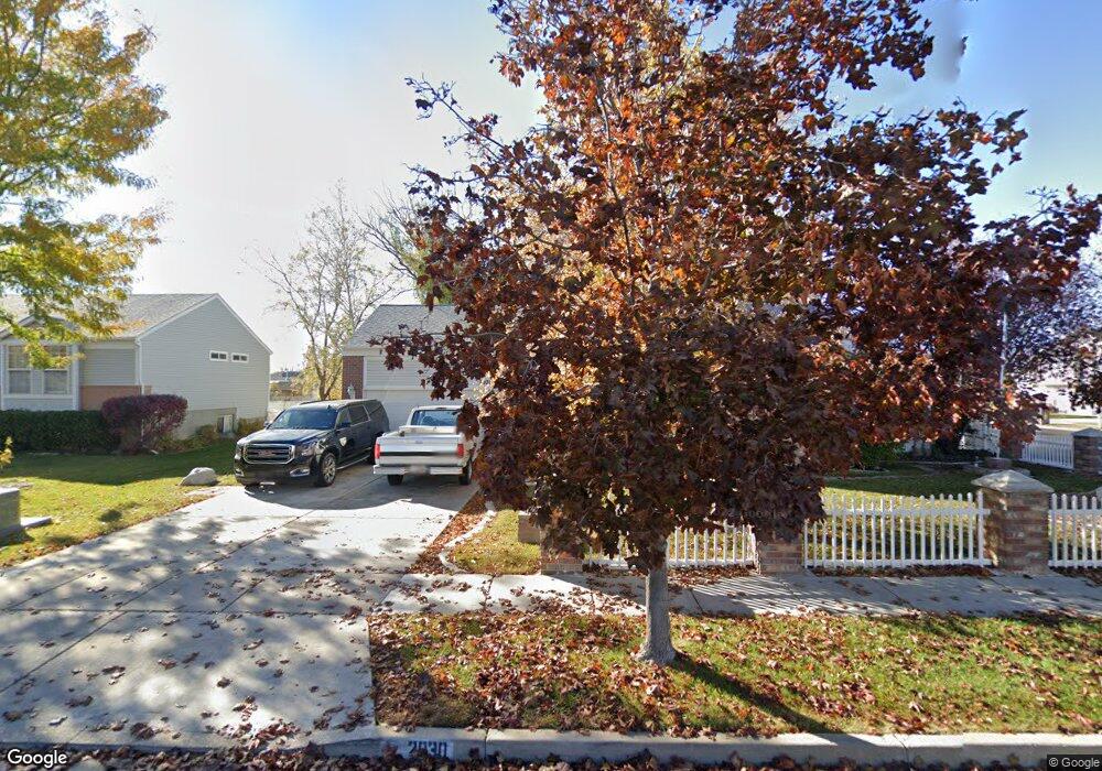
2030 S 1900 W Syracuse, UT 84075
Estimated Value: $496,000 - $549,260
4
Beds
4
Baths
2,551
Sq Ft
$207/Sq Ft
Est. Value
About This Home
This home is located at 2030 S 1900 W, Syracuse, UT 84075 and is currently estimated at $528,815, approximately $207 per square foot. 2030 S 1900 W is a home located in Davis County with nearby schools including Syracuse Elementary School, Syracuse Junior High School, and Syracuse High School.
Ownership History
Date
Name
Owned For
Owner Type
Purchase Details
Closed on
Jul 28, 2008
Sold by
Orr Michael T and Orr Joyce N
Bought by
Johnson Larry A
Current Estimated Value
Home Financials for this Owner
Home Financials are based on the most recent Mortgage that was taken out on this home.
Original Mortgage
$251,289
Outstanding Balance
$164,075
Interest Rate
6.31%
Mortgage Type
VA
Estimated Equity
$364,740
Purchase Details
Closed on
Jun 8, 1999
Sold by
Pulte Home Corp
Bought by
Orr Michael T and Orr Joyce N
Home Financials for this Owner
Home Financials are based on the most recent Mortgage that was taken out on this home.
Original Mortgage
$121,400
Interest Rate
9.75%
Create a Home Valuation Report for This Property
The Home Valuation Report is an in-depth analysis detailing your home's value as well as a comparison with similar homes in the area
Home Values in the Area
Average Home Value in this Area
Purchase History
| Date | Buyer | Sale Price | Title Company |
|---|---|---|---|
| Johnson Larry A | -- | First American Title | |
| Orr Michael T | -- | Guardian Title Company |
Source: Public Records
Mortgage History
| Date | Status | Borrower | Loan Amount |
|---|---|---|---|
| Open | Johnson Larry A | $251,289 | |
| Previous Owner | Orr Michael T | $121,400 |
Source: Public Records
Tax History Compared to Growth
Tax History
| Year | Tax Paid | Tax Assessment Tax Assessment Total Assessment is a certain percentage of the fair market value that is determined by local assessors to be the total taxable value of land and additions on the property. | Land | Improvement |
|---|---|---|---|---|
| 2025 | -- | $285,450 | $117,521 | $167,929 |
| 2024 | -- | $273,350 | $96,072 | $177,278 |
| 2023 | -- | $466,000 | $133,929 | $332,071 |
| 2022 | $2,011 | $277,750 | $77,249 | $200,501 |
| 2021 | $2,011 | $385,000 | $114,029 | $270,971 |
| 2020 | $2,011 | $329,000 | $99,897 | $229,103 |
| 2019 | $2,011 | $312,000 | $96,954 | $215,046 |
| 2018 | $0 | $310,000 | $94,007 | $215,993 |
| 2016 | $1,905 | $142,341 | $36,108 | $106,233 |
| 2015 | $1,834 | $130,516 | $36,108 | $94,408 |
| 2014 | $1,802 | $130,684 | $36,108 | $94,576 |
| 2013 | $1,780 | $122,270 | $32,054 | $90,216 |
Source: Public Records
Map
Nearby Homes
- 2047 S 2000 W
- 2000 S 1800 W
- 2082 S 1730 W
- 2194 S 1800 W
- 2104 W 2200 S
- 1932 S 2150 W
- 2136 W 2200 S
- 1836 W 2400 S
- 2297 W 2175 S
- 2503 S 1875 W
- 4344 W 1825 S Unit 102
- 4354 W 1825 S Unit 104
- 4348 W 1825 S Unit 103
- 1466 Earl Cir
- 2208 W 2615 S Unit 141
- 2198 W 2615 S Unit 140
- 2158 W 2615 S Unit 137
- 1918 S 2465 W
- 2650 S 2000 W
- 1641 S 2350 W Unit B
- 2046 S 1900 W
- 2085 S 1900 W
- 2039 S 1900 W
- 1941 W 2025 S
- 2101 S 1900 W Unit 206
- 2101 S 1900 W Unit 102
- 2068 S 1900 W
- 2057 S 1900 W
- 2015 S 1900 W
- 1916 W 2025 S
- 1932 W 2025 S
- 2075 S 1900 W
- 2075 S 1900 W Unit 2
- 1955 W 2025 S
- 1997 S 1900 W
- 1948 W 2025 S
- 1948 W 2100 S
- 2086 S 1900 W
- 2034 S 1840 W
- 2050 S 1840 W