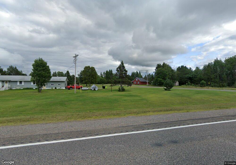
2030 Us Highway 141 Crystal Falls, MI 49920
Estimated Value: $129,111 - $453,000
4
Beds
2
Baths
1,700
Sq Ft
$146/Sq Ft
Est. Value
About This Home
This home is located at 2030 Us Highway 141, Crystal Falls, MI 49920 and is currently estimated at $248,278, approximately $146 per square foot. 2030 Us Highway 141 is a home located in Iron County with nearby schools including Forest Park School.
Ownership History
Date
Name
Owned For
Owner Type
Purchase Details
Closed on
Aug 23, 2019
Sold by
Manier Jacob
Bought by
Dekeuster Debra L and Dekeuster Michael J
Current Estimated Value
Purchase Details
Closed on
Jul 17, 2006
Sold by
Gill Harold N and Gill Catherine
Bought by
Manier Jacob and Manier Rimma
Create a Home Valuation Report for This Property
The Home Valuation Report is an in-depth analysis detailing your home's value as well as a comparison with similar homes in the area
Home Values in the Area
Average Home Value in this Area
Purchase History
| Date | Buyer | Sale Price | Title Company |
|---|---|---|---|
| Dekeuster Debra L | $60,000 | -- | |
| Manier Jacob | $82,000 | -- |
Source: Public Records
Mortgage History
| Date | Status | Borrower | Loan Amount |
|---|---|---|---|
| Previous Owner | Manier Jacob | $0 | |
| Closed | Manier Jacob | $0 |
Source: Public Records
Tax History Compared to Growth
Tax History
| Year | Tax Paid | Tax Assessment Tax Assessment Total Assessment is a certain percentage of the fair market value that is determined by local assessors to be the total taxable value of land and additions on the property. | Land | Improvement |
|---|---|---|---|---|
| 2025 | -- | $44,180 | $4,310 | $39,870 |
| 2024 | $414 | $50,830 | $2,830 | $48,000 |
| 2023 | $395 | $31,900 | $2,830 | $29,070 |
| 2022 | $406 | $35,550 | $2,830 | $32,720 |
| 2021 | $1,468 | $31,800 | $2,420 | $29,380 |
| 2020 | $477 | $38,410 | $2,420 | $35,990 |
| 2019 | -- | $42,460 | $42,460 | $0 |
| 2018 | -- | $36,600 | $0 | $0 |
| 2016 | $34,820 | $34,800 | $0 | $0 |
| 2015 | $34,820 | $34,820 | $0 | $0 |
| 2014 | $34,820 | $34,820 | $0 | $0 |
| 2013 | $34,820 | $34,820 | $0 | $0 |
| 2012 | $1,009 | $34,820 | $0 | $0 |
Source: Public Records
Map
Nearby Homes
- 163 Wirtanen Rd
- 149 Jarvi Rd
- 152 Jarvi Rd
- 338 Old Highway 141
- TBD Parks Farm Rd
- 320 Hemlock
- 329 Maple Ave
- TBD U S 141 Unit Lukes Road
- 117 E Cemetery Rd
- 110 Old Us 141 Hwy
- TBD Us 141
- 243 Parks Farm Rd
- 245 Kohon Rd
- 157 N Swan Lake Rd
- 40 acres Bradley Rd
- 379 E Sheltrow Rd
- TBD Long Lake Rd
- 113 & 120 Lohrey Ln
- TBD Camp 5 Rd
- TBD Fire Lake Rd
- 2030 Us Highway 141
- 2030 Us Highway 141
- 163 Wirtanen Rd
- 163 Wirtanen Rd
- 174 Wirtanen Rd
- 358 Warner Mine Rd
- 179 Rautanen Rd
- 109 Rautanen Rd
- 115 Burke Rd
- 173 Jarvis Rd
- 8170 Round Lake Hwy
- 228 Old 141 N
- 125 Old 141 N
- 371 Warner Mine Rd
- 371 Warner Mine Rd
- 375 Warner Mine Rd
- 377 Warner Mine Rd
- 1517 U S 141
- 1517 Us Highway 141
- ON Warner Mine Rd