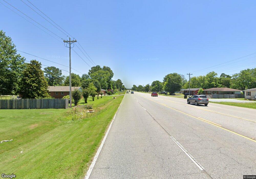
2030 Us Highway 72 E Athens, AL 35611
Estimated Value: $318,000 - $342,384
--
Bed
--
Bath
1,215
Sq Ft
$272/Sq Ft
Est. Value
About This Home
This home is located at 2030 Us Highway 72 E, Athens, AL 35611 and is currently estimated at $330,192, approximately $271 per square foot. 2030 Us Highway 72 E is a home located in Limestone County with nearby schools including Athens Intermediate School, SPARK Academy at Cowart Elementary, and Athens Middle School.
Ownership History
Date
Name
Owned For
Owner Type
Purchase Details
Closed on
Jul 12, 2022
Sold by
Patel Shashikant M and Patel Ghanshyam
Bought by
Shree Ram Business Llc
Current Estimated Value
Home Financials for this Owner
Home Financials are based on the most recent Mortgage that was taken out on this home.
Original Mortgage
$242,250
Outstanding Balance
$231,099
Interest Rate
5.41%
Mortgage Type
Construction
Estimated Equity
$99,093
Purchase Details
Closed on
Jun 7, 2017
Sold by
Buck Buck Corp
Bought by
Patel Ghanchyam and Patel Shasikant
Home Financials for this Owner
Home Financials are based on the most recent Mortgage that was taken out on this home.
Original Mortgage
$24,410
Interest Rate
4.05%
Mortgage Type
New Conventional
Purchase Details
Closed on
Mar 11, 2008
Sold by
Cannon Family Llc
Bought by
Patel Shashikant M
Create a Home Valuation Report for This Property
The Home Valuation Report is an in-depth analysis detailing your home's value as well as a comparison with similar homes in the area
Home Values in the Area
Average Home Value in this Area
Purchase History
| Date | Buyer | Sale Price | Title Company |
|---|---|---|---|
| Shree Ram Business Llc | $285,000 | -- | |
| Patel Ghanchyam | $235,000 | None Available | |
| Patel Shashikant M | -- | -- |
Source: Public Records
Mortgage History
| Date | Status | Borrower | Loan Amount |
|---|---|---|---|
| Open | Shree Ram Business Llc | $242,250 | |
| Previous Owner | Patel Ghanchyam | $24,410 |
Source: Public Records
Tax History Compared to Growth
Tax History
| Year | Tax Paid | Tax Assessment Tax Assessment Total Assessment is a certain percentage of the fair market value that is determined by local assessors to be the total taxable value of land and additions on the property. | Land | Improvement |
|---|---|---|---|---|
| 2024 | $2,246 | $56,140 | $0 | $0 |
| 2023 | $2,246 | $56,140 | $0 | $0 |
| 2022 | $1,675 | $41,600 | $0 | $0 |
| 2021 | $1,610 | $40,240 | $0 | $0 |
| 2020 | $1,342 | $33,540 | $0 | $0 |
| 2019 | $1,342 | $33,540 | $0 | $0 |
| 2018 | $1,342 | $33,540 | $0 | $0 |
| 2017 | $537 | $13,420 | $0 | $0 |
| 2016 | $537 | $67,080 | $0 | $0 |
| 2015 | $723 | $18,080 | $0 | $0 |
| 2014 | $720 | $0 | $0 | $0 |
Source: Public Records
Map
Nearby Homes
- 1501 Reynard St
- 409 Suffield St
- 107 Virginia Dr
- 1505 Nella Dr
- 16088 Lucas Ferry Rd
- 1509 Nella Dr
- 203 Gordon Dr
- 1504 Pinedale St
- Lot 1 Browns Ferry St
- 313 Christopher Dr
- 1412 Bridgewater Place
- 1709 Lillian Dr
- 8336 Us Highway 72 W
- 16231 W Glenn Valley Dr
- Lot 17 Acorn Hill Cir
- Falkner III G Plan at Athens Preserve
- Oakstone V J Plan at Athens Preserve
- Oakstone V I Plan at Athens Preserve
- Trillium IV J Plan at Athens Preserve
- Trillium IV I Plan at Athens Preserve
- 1805 Us Highway 72 W
- 1901 Us Highway 72 W
- 1506 Reynard St
- 1504 Reynard St
- 110 Debeth Plaza N
- 200 Debeth Plaza N
- 1707 Us Highway 72 E
- 1707 Us Highway 72 W
- 108 N Debeth Plaza
- 202 Debeth Plaza N
- 202 N Debeth Plaza
- 1507 Reynard St
- 106 N Debeth Plaza
- 1705 Us Highway 72 W
- 204 Debeth Plaza N
- 1502 Reynard St
- 1505 Reynard St
- 104 Debeth Plaza N
- 206 Debeth Plaza N
- 107 N Debeth Plaza