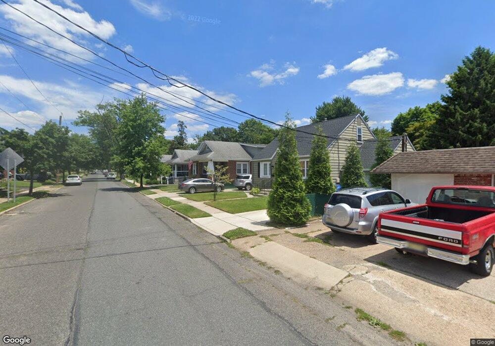
2030 W High St Haddon Heights, NJ 08035
Estimated Value: $329,000 - $395,000
Studio
--
Bath
1,074
Sq Ft
$334/Sq Ft
Est. Value
About This Home
This home is located at 2030 W High St, Haddon Heights, NJ 08035 and is currently estimated at $358,404, approximately $333 per square foot. 2030 W High St is a home located in Camden County with nearby schools including Haddon Heights Jr Sr High School and Saint Rose of Lima Catholic School.
Ownership History
Date
Name
Owned For
Owner Type
Purchase Details
Closed on
Nov 1, 2016
Sold by
Collings Sherrie Lee
Bought by
Zwaska Brnjamin R and Emmerling Kristin M
Current Estimated Value
Home Financials for this Owner
Home Financials are based on the most recent Mortgage that was taken out on this home.
Original Mortgage
$163,975
Outstanding Balance
$130,933
Interest Rate
3.25%
Mortgage Type
FHA
Estimated Equity
$227,471
Purchase Details
Closed on
Oct 7, 2008
Sold by
Campbell John C
Bought by
Collings Sherrie Lee
Purchase Details
Closed on
Apr 15, 1994
Sold by
Straub Henry
Bought by
Campbell John and Collins Sherrie Lee
Home Financials for this Owner
Home Financials are based on the most recent Mortgage that was taken out on this home.
Original Mortgage
$86,000
Interest Rate
8.44%
Create a Home Valuation Report for This Property
The Home Valuation Report is an in-depth analysis detailing your home's value as well as a comparison with similar homes in the area
Home Values in the Area
Average Home Value in this Area
Purchase History
| Date | Buyer | Sale Price | Title Company |
|---|---|---|---|
| Zwaska Brnjamin R | $167,000 | Core Title | |
| Collings Sherrie Lee | -- | -- | |
| Campbell John | $96,000 | -- |
Source: Public Records
Mortgage History
| Date | Status | Borrower | Loan Amount |
|---|---|---|---|
| Open | Zwaska Brnjamin R | $163,975 | |
| Previous Owner | Campbell John | $86,000 |
Source: Public Records
Tax History Compared to Growth
Tax History
| Year | Tax Paid | Tax Assessment Tax Assessment Total Assessment is a certain percentage of the fair market value that is determined by local assessors to be the total taxable value of land and additions on the property. | Land | Improvement |
|---|---|---|---|---|
| 2025 | $7,520 | $218,600 | $95,000 | $123,600 |
| 2024 | $7,441 | $218,600 | $95,000 | $123,600 |
| 2023 | $7,441 | $218,600 | $95,000 | $123,600 |
| 2022 | $7,421 | $218,600 | $95,000 | $123,600 |
| 2021 | $7,400 | $218,600 | $95,000 | $123,600 |
| 2020 | $7,279 | $218,600 | $95,000 | $123,600 |
| 2019 | $7,157 | $218,600 | $95,000 | $123,600 |
| 2018 | $7,043 | $218,600 | $95,000 | $123,600 |
| 2017 | $6,857 | $218,600 | $95,000 | $123,600 |
| 2016 | $6,750 | $218,600 | $95,000 | $123,600 |
| 2015 | $6,610 | $218,600 | $95,000 | $123,600 |
| 2014 | $6,401 | $218,600 | $95,000 | $123,600 |
Source: Public Records
Map
Nearby Homes
- 1917 W High St
- 1900 W High St
- 26 Wilson Ave
- 1720 Prospect Ridge Blvd
- 1601 Oak Ave
- 154 Sunnyside Ln
- 13 Belmont Rd
- 205 Cardinal Dr
- 40 W Kings Hwy
- 227 Kennedy Blvd
- 1517 Oak Ave
- 228 W Browning Rd
- 539 W Kings Hwy
- 17 W Buckingham Ave
- 26 S Oak Ave
- 94 E Browning Rd
- 1165 Fulling Mill Ln
- 13 Cornelia Dr
- 113 Center Ave
- 200 E Lake Dr
- 2026 W High St
- 2034 W High St
- 2022 W High St
- 2031 Maple Ave
- 2035 Maple Ave
- 2027 Maple Ave
- 701 Black Horse Pike Unit 2/3
- 701 Black Horse Pike
- 2018 W High St
- 2031 W High St
- 2035 W High St
- 2029 W High St
- 2025 W High St
- 703 Black Horse Pike
- 2012 W High St
- 2019 W High St
- 2013 Maple Ave
- 2015 W High St
- 613 Black Horse Pike
- 2008 W High St
