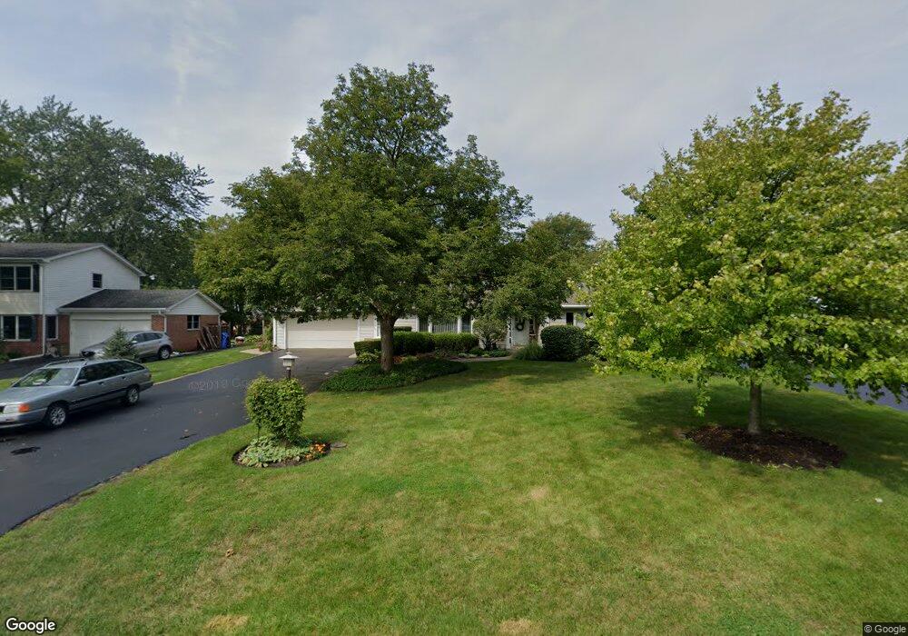
2030 Walnut Cir Northbrook, IL 60062
Glenbrook Countryside NeighborhoodEstimated Value: $553,283 - $628,000
4
Beds
2
Baths
1,487
Sq Ft
$399/Sq Ft
Est. Value
About This Home
This home is located at 2030 Walnut Cir, Northbrook, IL 60062 and is currently estimated at $592,821, approximately $398 per square foot. 2030 Walnut Cir is a home located in Cook County with nearby schools including Westmoor Elementary School, Northbrook Junior High School, and Glenbrook North High School.
Ownership History
Date
Name
Owned For
Owner Type
Purchase Details
Closed on
Feb 14, 1996
Sold by
Ritz Carl R
Bought by
Ritz Carl R and Ritz Lynn
Current Estimated Value
Home Financials for this Owner
Home Financials are based on the most recent Mortgage that was taken out on this home.
Original Mortgage
$177,000
Interest Rate
7.16%
Purchase Details
Closed on
Mar 28, 1995
Sold by
Jorgenson Michael L and Jorgenson Patricia A
Bought by
Ritz Carl R
Create a Home Valuation Report for This Property
The Home Valuation Report is an in-depth analysis detailing your home's value as well as a comparison with similar homes in the area
Home Values in the Area
Average Home Value in this Area
Purchase History
| Date | Buyer | Sale Price | Title Company |
|---|---|---|---|
| Ritz Carl R | -- | First American Title | |
| Ritz Carl R | $221,500 | -- |
Source: Public Records
Mortgage History
| Date | Status | Borrower | Loan Amount |
|---|---|---|---|
| Closed | Ritz Carl R | $177,000 |
Source: Public Records
Tax History
| Year | Tax Paid | Tax Assessment Tax Assessment Total Assessment is a certain percentage of the fair market value that is determined by local assessors to be the total taxable value of land and additions on the property. | Land | Improvement |
|---|---|---|---|---|
| 2025 | $6,450 | $45,000 | $12,633 | $32,367 |
| 2024 | $6,450 | $35,287 | $10,528 | $24,759 |
| 2023 | $8,263 | $35,287 | $10,528 | $24,759 |
| 2022 | $8,263 | $42,186 | $10,528 | $31,658 |
| 2021 | $6,261 | $29,578 | $25,266 | $4,312 |
| 2020 | $6,492 | $30,935 | $25,266 | $5,669 |
| 2019 | $6,260 | $33,995 | $25,266 | $8,729 |
| 2018 | $8,315 | $40,471 | $22,107 | $18,364 |
| 2017 | $8,148 | $40,471 | $22,107 | $18,364 |
| 2016 | $7,923 | $40,471 | $22,107 | $18,364 |
| 2015 | $8,174 | $37,922 | $17,896 | $20,026 |
| 2014 | $7,889 | $37,922 | $17,896 | $20,026 |
| 2013 | $7,627 | $37,922 | $17,896 | $20,026 |
Source: Public Records
Map
Nearby Homes
- 2065 Walnut Cir
- 2140 Beechnut Rd
- 1921 Beechnut Rd
- 1851 Oakwood Rd
- 1744 Walnut Cir
- 1709 Koehling Rd
- 50 Red Oak Ln
- 2535 Stonebridge Ln
- 579 Greenwood Rd
- 1380 Rosemary Ln
- 520 Standish Dr
- 326 Briar Ln
- 2348 Ash Ln
- 580 Greenwood Rd
- 1280 Rudolph Rd Unit 1F
- 818 Bach St
- 1250 Rudolph Rd Unit 4F
- 1021 Cedar Ln
- 1220 Rudolph Rd Unit 3H
- 1220 Rudolph Rd Unit 1B
- 2040 Walnut Cir
- 2022 Walnut Cir
- 2050 Walnut Cir
- 2055 Beechnut Rd
- 2105 Beechnut Rd
- 2049 Beechnut Rd
- 2000 Walnut Cir
- 2041 Beechnut Rd
- 2021 Walnut Cir
- 2111 Beechnut Rd
- 2033 Walnut Cir
- 130 Birchwood Rd
- 2054 Walnut Cir
- 2015 Walnut Cir
- 2045 Walnut Cir
- 2117 Beechnut Rd
- 2029 Beechnut Rd
- 2001 Walnut Cir
- 2064 Walnut Cir
- 2049 Walnut Cir
Your Personal Tour Guide
Ask me questions while you tour the home.