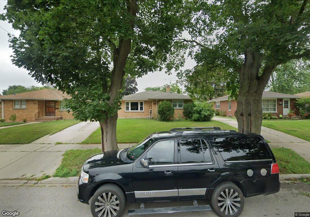
2030 Walnut St Waukegan, IL 60087
Marquette Highlands NeighborhoodEstimated Value: $216,000 - $246,000
2
Beds
1
Bath
1,062
Sq Ft
$217/Sq Ft
Est. Value
About This Home
This home is located at 2030 Walnut St, Waukegan, IL 60087 and is currently estimated at $230,531, approximately $217 per square foot. 2030 Walnut St is a home located in Lake County with nearby schools including Greenwood Elementary School, Edith M Smith Middle School, and Waukegan High School.
Ownership History
Date
Name
Owned For
Owner Type
Purchase Details
Closed on
May 30, 2008
Sold by
Ehnert Judy and Estate Of Richard A Ehnert
Bought by
Fonseca Luzcelenia
Current Estimated Value
Home Financials for this Owner
Home Financials are based on the most recent Mortgage that was taken out on this home.
Original Mortgage
$89,000
Outstanding Balance
$57,082
Interest Rate
6.04%
Mortgage Type
Purchase Money Mortgage
Estimated Equity
$173,449
Create a Home Valuation Report for This Property
The Home Valuation Report is an in-depth analysis detailing your home's value as well as a comparison with similar homes in the area
Home Values in the Area
Average Home Value in this Area
Purchase History
| Date | Buyer | Sale Price | Title Company |
|---|---|---|---|
| Fonseca Luzcelenia | $139,000 | St |
Source: Public Records
Mortgage History
| Date | Status | Borrower | Loan Amount |
|---|---|---|---|
| Open | Fonseca Luzcelenia | $89,000 |
Source: Public Records
Tax History Compared to Growth
Tax History
| Year | Tax Paid | Tax Assessment Tax Assessment Total Assessment is a certain percentage of the fair market value that is determined by local assessors to be the total taxable value of land and additions on the property. | Land | Improvement |
|---|---|---|---|---|
| 2024 | $4,205 | $58,287 | $11,092 | $47,195 |
| 2023 | $4,103 | $52,596 | $10,009 | $42,587 |
| 2022 | $4,103 | $47,966 | $8,664 | $39,302 |
| 2021 | $3,861 | $43,032 | $7,727 | $35,305 |
| 2020 | $3,864 | $40,090 | $7,199 | $32,891 |
| 2019 | $3,836 | $36,736 | $6,597 | $30,139 |
| 2018 | $3,531 | $33,695 | $9,339 | $24,356 |
| 2017 | $3,387 | $29,810 | $8,262 | $21,548 |
| 2016 | $3,076 | $25,903 | $7,179 | $18,724 |
| 2015 | $2,903 | $23,183 | $6,425 | $16,758 |
| 2014 | $2,793 | $22,047 | $6,069 | $15,978 |
| 2012 | $3,682 | $23,886 | $6,576 | $17,310 |
Source: Public Records
Map
Nearby Homes
- 1905 Linden Ave
- 2232 Walnut St
- 616 W Keith Ave
- 1018 W Atlantic Ave
- 1335 Chestnut St
- 1336 N Ash St
- 301 W Eagle Ct
- 1312 N Linden Ave
- 2350 N Lewis Ave
- 0 Traditions Dr
- 2246 Alta Vista Dr
- 1504 W Glen Flora Ave
- 2213 Alta Vista Dr
- 1105 Woodlawn Cir
- 2008 Harding Ave
- 1110 N Ash St
- 2207 Williamsburg Dr
- 2009 Harding Ave
- 1117 Judge Ave
- 2613 N Lewis Ave
- 2026 Walnut St
- 2034 Walnut St
- 2022 Walnut St
- 2038 Walnut St
- 2029 Linden Ave
- 2033 Linden Ave
- 2018 Walnut St
- 2021 Linden Ave
- 2037 Linden Ave
- 2042 Walnut St
- 2031 Walnut St
- 2027 Walnut St
- 2035 Walnut St
- 2017 Linden Ave
- 2014 Walnut St
- 2046 Walnut St
- 2023 Walnut St
- 2041 Walnut St
- 2045 Linden Ave
- 1016 Golf Rd