2030 Wynncrest Dr Marietta, OH 45750
Estimated Value: $153,000 - $256,000
3
Beds
2
Baths
1,620
Sq Ft
$126/Sq Ft
Est. Value
About This Home
This home is located at 2030 Wynncrest Dr, Marietta, OH 45750 and is currently estimated at $203,585, approximately $125 per square foot. 2030 Wynncrest Dr is a home with nearby schools including Warren High School.
Ownership History
Date
Name
Owned For
Owner Type
Purchase Details
Closed on
Aug 19, 2019
Sold by
Saho Brian S and Saho Amy
Bought by
Venoy Cleve L
Current Estimated Value
Home Financials for this Owner
Home Financials are based on the most recent Mortgage that was taken out on this home.
Original Mortgage
$85,500
Outstanding Balance
$74,882
Interest Rate
3.7%
Mortgage Type
New Conventional
Estimated Equity
$128,703
Purchase Details
Closed on
Sep 21, 1999
Bought by
Saho Brian S and Saho Amy
Purchase Details
Closed on
Jul 28, 1997
Create a Home Valuation Report for This Property
The Home Valuation Report is an in-depth analysis detailing your home's value as well as a comparison with similar homes in the area
Home Values in the Area
Average Home Value in this Area
Purchase History
| Date | Buyer | Sale Price | Title Company |
|---|---|---|---|
| Venoy Cleve L | $90,000 | None Available | |
| Saho Brian S | $53,000 | -- | |
| -- | -- | -- |
Source: Public Records
Mortgage History
| Date | Status | Borrower | Loan Amount |
|---|---|---|---|
| Open | Venoy Cleve L | $85,500 |
Source: Public Records
Tax History Compared to Growth
Tax History
| Year | Tax Paid | Tax Assessment Tax Assessment Total Assessment is a certain percentage of the fair market value that is determined by local assessors to be the total taxable value of land and additions on the property. | Land | Improvement |
|---|---|---|---|---|
| 2024 | $1,912 | $50,500 | $10,830 | $39,670 |
| 2023 | $1,912 | $50,500 | $10,830 | $39,670 |
| 2022 | $1,907 | $50,500 | $10,830 | $39,670 |
| 2021 | $1,738 | $43,970 | $7,510 | $36,460 |
| 2020 | $1,730 | $43,970 | $7,510 | $36,460 |
| 2019 | $1,752 | $43,970 | $7,510 | $36,460 |
| 2018 | $1,629 | $39,640 | $6,530 | $33,110 |
| 2017 | $1,620 | $39,640 | $6,530 | $33,110 |
| 2016 | $2,018 | $39,640 | $6,530 | $33,110 |
| 2015 | $1,282 | $34,720 | $6,270 | $28,450 |
| 2014 | $1,787 | $34,720 | $6,270 | $28,450 |
| 2013 | $1,262 | $34,720 | $6,270 | $28,450 |
Source: Public Records
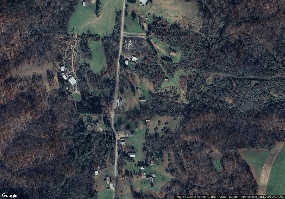
Map
Nearby Homes
- 65 High Point Dr
- 116 Pineview Dr
- 100 Pineview Dr
- 20645 Ohio 676
- 0 Fisher Ridge Rd Tract 8
- 0 Fisher Ridge Rd Tract 7
- 0 Fisher Ridge Rd Tract 6
- 0 Fisher Ridge Rd Tract 5
- 0 Fisher Ridge Rd Tract 4
- 565 Lang Farm Rd
- 0 Fisher Ridge Rd Tract 2
- 0 Fisher Ridge Rd Tract 1
- 254 Riggenbach Hill Rd
- 0 Fisher Ridge Rd
- 305 Flintwood Dr
- 375 Belavista Dr
- 1876 Pine Ridge Rd
- 1998 Reese Rd
- 204 Coventry Rd
- 117 Clark St
- 1890 Wynncrest Dr
- 1945 Wynncrest Dr
- 2060 Wynncrest Dr
- 1915 Wynncrest Dr
- 1820 Wynncrest Dr
- 2150 Wynncrest Dr
- 1805 Wynncrest Dr
- 2190 Wynncrest Dr
- 1740 Wynncrest Dr
- 2215 Wynncrest Dr
- 2230 Wynncrest Dr
- 2110 Wynncrest Dr
- 1710 Wynncrest Dr
- 1665 Wynncrest Dr
- 1640 Wynncrest Dr
- 1635 Wynncrest Dr
- 2320 Wynncrest Dr
- 1788 Wynncrest Dr
- 1580 Wynncrest Dr
- 1584 Wynncrest Dr