20300 Springston Ford Rd Elkins, AR 72727
Estimated Value: $591,000 - $2,780,000
--
Bed
3
Baths
5,554
Sq Ft
$209/Sq Ft
Est. Value
About This Home
This home is located at 20300 Springston Ford Rd, Elkins, AR 72727 and is currently estimated at $1,163,067, approximately $209 per square foot. 20300 Springston Ford Rd is a home located in Washington County with nearby schools including Elkins Elementary Primary School, Elkins Elementary School, and Elkins Middle School.
Ownership History
Date
Name
Owned For
Owner Type
Purchase Details
Closed on
Sep 22, 2009
Sold by
Willey Charlee Jean and Davault Glenn
Bought by
Warnock William K and Warnock Mary M
Current Estimated Value
Purchase Details
Closed on
Jun 1, 1987
Bought by
Warnock William K and Warnock Mary M
Purchase Details
Closed on
Feb 20, 1986
Bought by
Jaycox June M
Purchase Details
Closed on
Jan 1, 1985
Bought by
Jaycox William H
Create a Home Valuation Report for This Property
The Home Valuation Report is an in-depth analysis detailing your home's value as well as a comparison with similar homes in the area
Home Values in the Area
Average Home Value in this Area
Purchase History
| Date | Buyer | Sale Price | Title Company |
|---|---|---|---|
| Warnock William K | $749,000 | Waco Title Company | |
| Warnock William K | $148,000 | -- | |
| Jaycox June M | -- | -- | |
| Jaycox William H | -- | -- |
Source: Public Records
Mortgage History
| Date | Status | Borrower | Loan Amount |
|---|---|---|---|
| Closed | Warnock William K | $0 |
Source: Public Records
Tax History Compared to Growth
Tax History
| Year | Tax Paid | Tax Assessment Tax Assessment Total Assessment is a certain percentage of the fair market value that is determined by local assessors to be the total taxable value of land and additions on the property. | Land | Improvement |
|---|---|---|---|---|
| 2025 | $3,025 | $109,520 | $10,450 | $99,070 |
| 2024 | $2,973 | $105,820 | $10,450 | $95,370 |
| 2023 | $3,132 | $105,820 | $10,450 | $95,370 |
| 2022 | $3,093 | $81,910 | $12,600 | $69,310 |
| 2021 | $3,093 | $81,910 | $12,600 | $69,310 |
| 2020 | $3,053 | $81,910 | $12,600 | $69,310 |
| 2019 | $2,967 | $67,460 | $10,330 | $57,130 |
| 2018 | $2,987 | $67,460 | $10,330 | $57,130 |
| 2017 | $2,962 | $67,460 | $10,330 | $57,130 |
| 2016 | $2,899 | $67,460 | $10,330 | $57,130 |
| 2015 | $2,829 | $67,460 | $10,330 | $57,130 |
| 2014 | $2,676 | $60,140 | $9,080 | $51,060 |
Source: Public Records
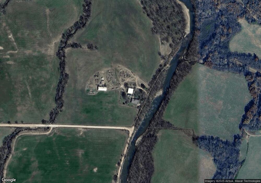
Map
Nearby Homes
- 503 Jason St
- 607 Jason St
- 517 Jason St
- 10836 Bray Rd
- 19105 Feather Hill Rd
- 20553 Durham McCord Rd
- 1022 Adysen Ln
- 20266 Mount Olive Rd
- 12016 Snake Branch Rd
- 2107 Madison 4097
- 19641 Conestoga Rd
- 21964 Raven Rd
- 0 Tbd Madison Cr 6021 Unit 1319733
- RC Carnegie II Plan at Stokenbury
- RC Keswick Plan at Stokenbury
- RC Foster II Plan at Stokenbury
- RC Franklin Plan at Stokenbury
- RC Glenwood Plan at Stokenbury
- RC Raleigh Plan at Stokenbury
- RC Kinsley II Plan at Stokenbury
- 20561 Springston Ford Rd
- 20662 Springston Ford Rd
- 19816 Springston Ford Rd
- 9 Ac Cr 3133 Heritage Rd
- 36 Ac Cr 3133 Heritage Rd
- 18 Ac Cr 3133 Heritage Rd
- 10813 S Highway 16
- 10901 S Highway 16
- 10215 Venice Rd
- 10619 S Highway 16
- 10182 Venice Rd
- 11078 Arkansas 16
- 276 Justin St
- 292 Justin St
- 20945 Springston Ford Rd
- 19689 Mccord Rd
- 20906 Springston Ford Rd
- 11057 S Highway 16
- 11057 Arkansas 16
- 11076 S Highway 16