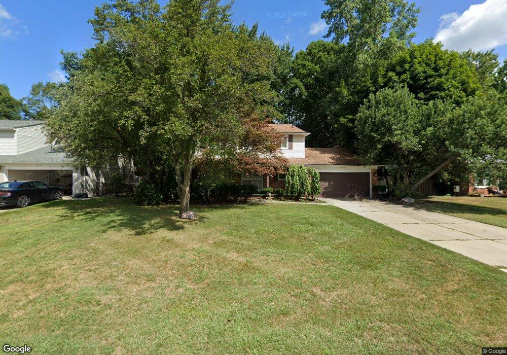
20300 Wildhern St Southfield, MI 48076
Estimated Value: $325,830 - $384,000
Studio
3
Baths
2,161
Sq Ft
$163/Sq Ft
Est. Value
About This Home
This home is located at 20300 Wildhern St, Southfield, MI 48076 and is currently estimated at $351,958, approximately $162 per square foot. 20300 Wildhern St is a home located in Oakland County with nearby schools including Alice M. Birney K-8 School, McIntyre Elementary School, and Yeshivas Darchei Torah.
Ownership History
Date
Name
Owned For
Owner Type
Purchase Details
Closed on
Jul 15, 2019
Sold by
Smith Julia C
Bought by
Smith Julia C and Smith Tamera
Current Estimated Value
Purchase Details
Closed on
Feb 23, 2011
Sold by
Miles Vincent
Bought by
Smith Julia C
Purchase Details
Closed on
Sep 1, 1995
Sold by
Harrell Charles H
Bought by
Miles Vincent
Home Financials for this Owner
Home Financials are based on the most recent Mortgage that was taken out on this home.
Original Mortgage
$122,200
Interest Rate
7.81%
Mortgage Type
New Conventional
Create a Home Valuation Report for This Property
The Home Valuation Report is an in-depth analysis detailing your home's value as well as a comparison with similar homes in the area
Home Values in the Area
Average Home Value in this Area
Purchase History
| Date | Buyer | Sale Price | Title Company |
|---|---|---|---|
| Smith Julia C | -- | None Available | |
| Smith Julia C | -- | None Available | |
| Miles Vincent | $159,000 | -- |
Source: Public Records
Mortgage History
| Date | Status | Borrower | Loan Amount |
|---|---|---|---|
| Previous Owner | Miles Vincent | $122,200 |
Source: Public Records
Tax History
| Year | Tax Paid | Tax Assessment Tax Assessment Total Assessment is a certain percentage of the fair market value that is determined by local assessors to be the total taxable value of land and additions on the property. | Land | Improvement |
|---|---|---|---|---|
| 2025 | $4,780 | $176,110 | $31,410 | $144,700 |
| 2022 | $4,020 | $122,690 | $19,780 | $102,910 |
| 2021 | $4,156 | $114,560 | $19,780 | $94,780 |
| 2020 | $3,616 | $111,600 | $15,700 | $95,900 |
| 2018 | $5,512 | $91,880 | $15,700 | $76,180 |
| 2015 | -- | $79,460 | $0 | $0 |
| 2014 | -- | $65,400 | $0 | $0 |
| 2011 | -- | $63,870 | $0 | $0 |
Source: Public Records
Map
Nearby Homes
- 20240 Wildhern St
- 29450 Sharon Ln
- 29300 Kensington Ct
- 20204 Beechaven St
- 29467 Leemoor Dr
- 29266 Southgate Dr
- 29624 Pleasant Trail
- 28430 Ranchwood Dr
- 28375 Ranchwood Dr
- 20120 Covington Pkwy
- 18925 Webster Ave
- 19245 Eldridge Ln
- 29807 Spring Hill Dr
- 21650 W 11 Mile Rd
- 27840 Larkmoor St
- 19710 W 13 Mile Rd Unit 101
- 19710 W 13 Mile Rd Unit 102
- 19710 W 13 Mile Rd Unit 111
- 19710 W 13 Mile Rd Unit 201
- 19710 W 13 Mile Rd Unit 108
- 20320 Wildhern St
- 20280 Wildhern St
- 20340 Wildhern St
- 20260 Wildhern St
- 20215 Wildhern St
- 20205 S Greenway Dr
- 29430 Prestwick St
- 20239 S Greenway St
- 20360 Wildhern St
- 20220 Wildhern St
- 20195 Wildhern St
- 20135 S Greenway St
- 29400 Prestwick St
- 20135 S Greenway Dr
- 20200 Wildhern St
- 29485 Ashley Ct
- 20380 Wildhern St
- 29425 Prestwick St
- 20175 Wildhern St
Your Personal Tour Guide
Ask me questions while you tour the home.