20302 NE 152nd Cir Brush Prairie, WA 98606
Estimated Value: $641,075 - $756,000
3
Beds
3
Baths
1,550
Sq Ft
$448/Sq Ft
Est. Value
About This Home
This home is located at 20302 NE 152nd Cir, Brush Prairie, WA 98606 and is currently estimated at $695,019, approximately $448 per square foot. 20302 NE 152nd Cir is a home located in Clark County with nearby schools including Hockinson Middle School and Hockinson High School.
Ownership History
Date
Name
Owned For
Owner Type
Purchase Details
Closed on
Jul 1, 2013
Sold by
Tolmie Dwight R and Tolmie Margaret E
Bought by
Tolmie Dwight R and Tolmie Margaret E
Current Estimated Value
Home Financials for this Owner
Home Financials are based on the most recent Mortgage that was taken out on this home.
Original Mortgage
$132,000
Interest Rate
3.92%
Mortgage Type
New Conventional
Create a Home Valuation Report for This Property
The Home Valuation Report is an in-depth analysis detailing your home's value as well as a comparison with similar homes in the area
Home Values in the Area
Average Home Value in this Area
Purchase History
| Date | Buyer | Sale Price | Title Company |
|---|---|---|---|
| Tolmie Dwight R | -- | Lsi |
Source: Public Records
Mortgage History
| Date | Status | Borrower | Loan Amount |
|---|---|---|---|
| Closed | Tolmie Dwight R | $132,000 |
Source: Public Records
Tax History Compared to Growth
Tax History
| Year | Tax Paid | Tax Assessment Tax Assessment Total Assessment is a certain percentage of the fair market value that is determined by local assessors to be the total taxable value of land and additions on the property. | Land | Improvement |
|---|---|---|---|---|
| 2025 | $5,331 | $581,562 | $301,338 | $280,224 |
| 2024 | $4,777 | $577,403 | $301,338 | $276,065 |
| 2023 | $4,711 | $559,396 | $293,435 | $265,961 |
| 2022 | $4,410 | $531,988 | $275,916 | $256,072 |
| 2021 | $4,371 | $448,815 | $238,656 | $210,159 |
| 2020 | $3,979 | $422,891 | $226,733 | $196,158 |
| 2019 | $3,771 | $378,411 | $196,925 | $181,486 |
| 2018 | $4,448 | $367,647 | $0 | $0 |
| 2017 | $3,792 | $338,282 | $0 | $0 |
| 2016 | $3,715 | $310,776 | $0 | $0 |
| 2015 | $3,414 | $279,473 | $0 | $0 |
| 2014 | -- | $257,125 | $0 | $0 |
| 2013 | -- | $234,598 | $0 | $0 |
Source: Public Records
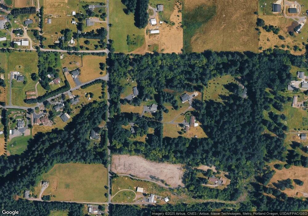
Map
Nearby Homes
- 13305 NE 114th Way
- 11626 NE 133rd Ct
- 15600 NE 194th Ct
- 15611 NE Doneta Rd
- 19012 NE 139th St
- 14408 NE 188th Ave
- 19005 NE 139th St
- 15903 NE 185th Ave
- 000 NE 182nd Ave
- 19111 NE 174th St
- 18513 NE 139th St
- 14206 NE 182nd Ave
- 17629 NE Baker Creek Rd
- 13610 NE 223rd Ct
- 15615 NE 182nd Ave
- 17401 NE 217th Ave
- 17600 NE 188th Ct
- 16523 NE 170th Ave
- 15418 NE 172nd Ave
- 22215 NE 128th Cir
- 20200 NE 152nd Cir
- 20404 NE 152nd Cir
- 20305 NE 152nd Cir
- 15135 NE 202nd Ave
- 15132 NE 202nd Ave
- 20101 NE 153rd Cir
- 14921 NE 202nd Ave
- 20106 NE 153rd Cir
- 15243 NE 202nd Ave
- 20007 NE 153rd Cir
- 20335 NE 159th St
- 20000 NE 153rd Cir
- 20020 NE 153rd Cir
- 19846 NE 154th St
- 20014 NE 154th St
- 15416 NE 202nd Ave
- 20412 NE 148th Cir
- 19915 NE 153rd Cir
- 15506 NE 202nd Ave
- 11622 NE 133rd Ct