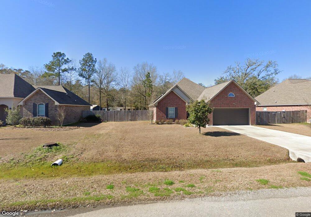
20304 Sisters Rd Ponchatoula, LA 70454
Estimated Value: $260,000 - $335,000
--
Bed
--
Bath
2,868
Sq Ft
$98/Sq Ft
Est. Value
About This Home
This home is located at 20304 Sisters Rd, Ponchatoula, LA 70454 and is currently estimated at $279,995, approximately $97 per square foot. 20304 Sisters Rd is a home located in Tangipahoa Parish with nearby schools including Perrin Early Learning Center, D.C. Reeves Elementary School, and Tucker Memorial Elementary School.
Ownership History
Date
Name
Owned For
Owner Type
Purchase Details
Closed on
Aug 27, 2021
Sold by
D R Horton Inc
Bought by
Brignac Sterlig J
Current Estimated Value
Home Financials for this Owner
Home Financials are based on the most recent Mortgage that was taken out on this home.
Original Mortgage
$249,300
Outstanding Balance
$226,844
Interest Rate
2.8%
Mortgage Type
Purchase Money Mortgage
Estimated Equity
$53,151
Create a Home Valuation Report for This Property
The Home Valuation Report is an in-depth analysis detailing your home's value as well as a comparison with similar homes in the area
Home Values in the Area
Average Home Value in this Area
Purchase History
| Date | Buyer | Sale Price | Title Company |
|---|---|---|---|
| Brignac Sterlig J | $253,900 | None Available |
Source: Public Records
Mortgage History
| Date | Status | Borrower | Loan Amount |
|---|---|---|---|
| Open | Brignac Sterlig J | $249,300 |
Source: Public Records
Tax History Compared to Growth
Tax History
| Year | Tax Paid | Tax Assessment Tax Assessment Total Assessment is a certain percentage of the fair market value that is determined by local assessors to be the total taxable value of land and additions on the property. | Land | Improvement |
|---|---|---|---|---|
| 2024 | $1,497 | $15,010 | $1,646 | $13,364 |
| 2023 | $1,503 | $14,869 | $1,524 | $13,345 |
| 2022 | $1,503 | $14,869 | $1,524 | $13,345 |
| 2021 | $750 | $14,869 | $1,524 | $13,345 |
| 2020 | $1,502 | $14,869 | $1,524 | $13,345 |
| 2019 | $1,499 | $14,869 | $1,524 | $13,345 |
| 2018 | $1,503 | $14,869 | $1,524 | $13,345 |
| 2017 | $1,503 | $14,869 | $1,524 | $13,345 |
| 2016 | $1,503 | $14,869 | $1,524 | $13,345 |
| 2015 | $314 | $10,594 | $1,524 | $9,070 |
| 2014 | $294 | $10,594 | $1,524 | $9,070 |
Source: Public Records
Map
Nearby Homes
- 42285 Broderick Ave
- 19119 Greenleaf Cir
- 19089 Greenleaf Cir
- 19078 Greenleaf Cir
- 42448 Blythwood Blvd
- 106 Lot
- 106 Lot None
- 42467 Harlan Place
- 42739 Brown Rd
- 42016 Wood Ave
- 0 I-12 Parcel
- 0 I-12 Parcel Other
- 42634 Brown Rd
- 20088 Rocquin Ln
- 42439 Evangeline Dr
- 41653 W Portier Rd
- 20089 Scarlett Ln
- 20263 Hollie Ln
- 20284 Hollie Ln
- 42319 Wood Ave
- 42327 Wood Ave
- 20294 Sister's Rd
- 42335 Wood Ave
- 42311 Wood Ave
- 42303 Wood Ave
- 42343 Wood Ave
- 20064 Sisters Rd
- 42295 Wood Ave
- 42314 Wood Ave
- 42351 Wood Ave
- 42322 Wood Ave
- 42330 Wood Ave
- 42338 Wood Ave
- 42306 Wood Ave
- 42287 Wood Ave
- 42346 Wood Ave
- 42359 Wood Ave
- 20243 Bella Gardens Cir
- 42279 Wood Ave